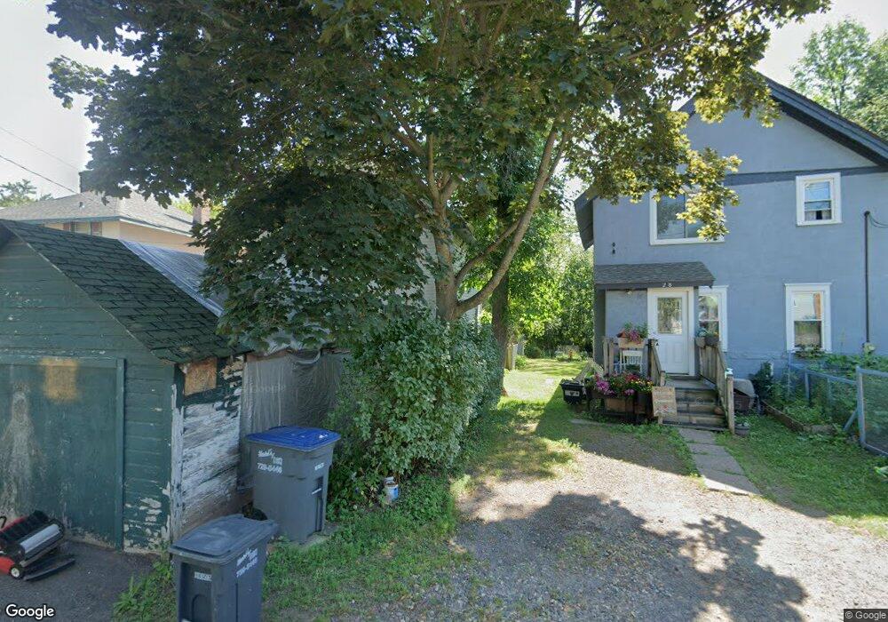
30 E Penton Blvd Duluth, MN 55808
Riverside NeighborhoodEstimated Value: $185,909 - $229,000
3
Beds
1
Bath
1,144
Sq Ft
$181/Sq Ft
Est. Value
About This Home
This home is located at 30 E Penton Blvd, Duluth, MN 55808 and is currently estimated at $207,227, approximately $181 per square foot. 30 E Penton Blvd is a home located in St. Louis County with nearby schools including Stowe Elementary School, Lincoln Park Middle School, and Denfeld High School.
Ownership History
Date
Name
Owned For
Owner Type
Purchase Details
Closed on
Dec 23, 2009
Sold by
Freeman Therese A
Bought by
Freeman Therese A and Freeman Tim L
Current Estimated Value
Home Financials for this Owner
Home Financials are based on the most recent Mortgage that was taken out on this home.
Original Mortgage
$73,486
Interest Rate
5.2%
Mortgage Type
Purchase Money Mortgage
Purchase Details
Closed on
Jul 18, 2003
Sold by
Preston Paul and Preston Barbara H
Bought by
Freeman Tim L and Freeman Theresa A
Create a Home Valuation Report for This Property
The Home Valuation Report is an in-depth analysis detailing your home's value as well as a comparison with similar homes in the area
Home Values in the Area
Average Home Value in this Area
Purchase History
| Date | Buyer | Sale Price | Title Company |
|---|---|---|---|
| Freeman Therese A | -- | Title Record | |
| Freeman Tim L | $28,251 | Pioneer Abstract & Title Of |
Source: Public Records
Mortgage History
| Date | Status | Borrower | Loan Amount |
|---|---|---|---|
| Previous Owner | Freeman Therese A | $73,486 | |
| Closed | Freeman Tim L | $0 |
Source: Public Records
Tax History
| Year | Tax Paid | Tax Assessment Tax Assessment Total Assessment is a certain percentage of the fair market value that is determined by local assessors to be the total taxable value of land and additions on the property. | Land | Improvement |
|---|---|---|---|---|
| 2024 | $1,638 | $146,200 | $8,500 | $137,700 |
| 2023 | $1,638 | $146,200 | $8,500 | $137,700 |
| 2022 | $1,780 | $118,500 | $8,000 | $110,500 |
| 2021 | $1,068 | $103,900 | $7,000 | $96,900 |
| 2020 | $1,098 | $90,600 | $6,100 | $84,500 |
| 2019 | $1,108 | $90,600 | $6,100 | $84,500 |
| 2018 | $886 | $83,900 | $6,100 | $77,800 |
| 2017 | $752 | $74,200 | $7,500 | $66,700 |
| 2016 | $740 | $74,200 | $7,500 | $66,700 |
| 2015 | $748 | $44,500 | $4,500 | $40,000 |
| 2014 | $748 | $44,500 | $4,500 | $40,000 |
Source: Public Records
Map
Nearby Homes
- 125 Goldys Way
- 8408 Potters Place
- 8313 Eric Shaffer Way
- 121 Kayak View
- 8620 Maynard Place
- 8602 Maynard Place
- 9118 Gogebic St
- TBD Arbor St
- 1010 85th Ave W
- 1063 86th Ave W
- 2xx S 63rd Ave W
- 3xx S 63rd Ave W
- 317 S 63rd Ave W
- 33 Ivy Dr
- XXX Commonwealth Ave
- 63 S Elder Dr
- 21 Kalmia Dr
- 2 Dewberry Ln
- 48 Arbutus Dr
- TBD Meadow St
Your Personal Tour Guide
Ask me questions while you tour the home.