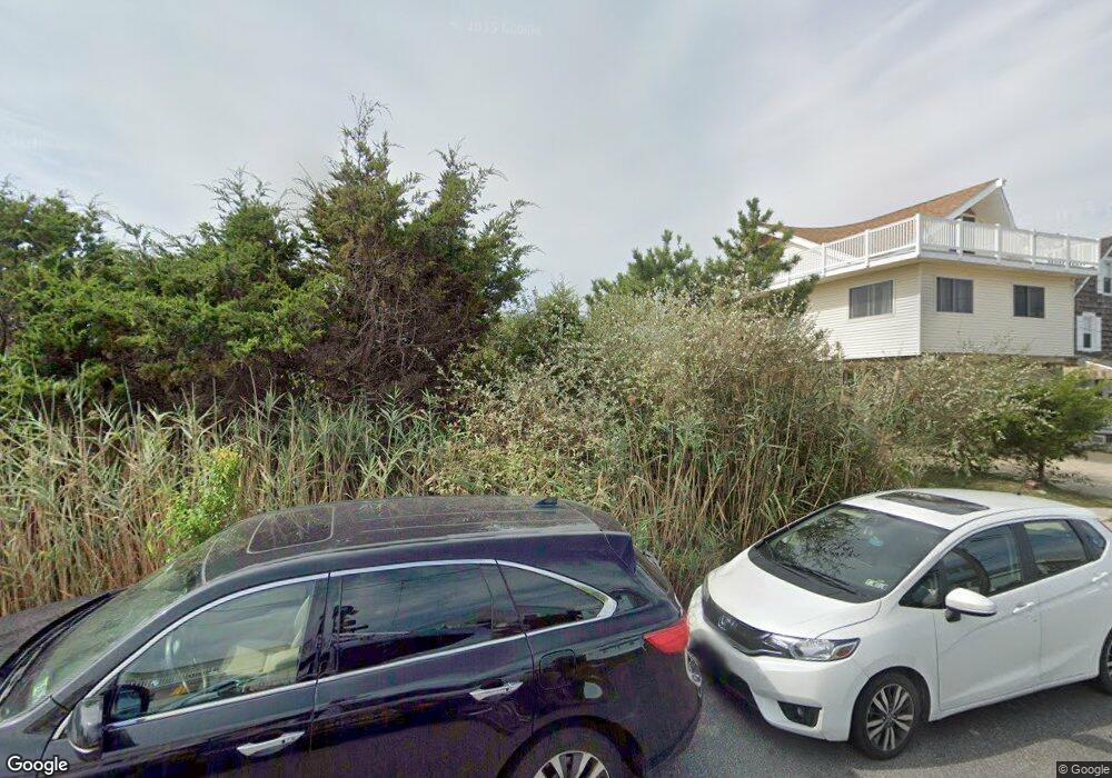
30 E Sherman Ave Strathmere, NJ 08248
Estimated Value: $2,733,071 - $3,532,000
Studio
--
Bath
2,692
Sq Ft
$1,176/Sq Ft
Est. Value
About This Home
This home is located at 30 E Sherman Ave, Strathmere, NJ 08248 and is currently estimated at $3,167,018, approximately $1,176 per square foot. 30 E Sherman Ave is a home with nearby schools including Ocean City Primary School, Ocean City Intermediate School, and Ocean City High School.
Ownership History
Date
Name
Owned For
Owner Type
Purchase Details
Closed on
Sep 29, 2006
Sold by
Tettemer Edward and Tettemer Lyn
Bought by
Tettemer Edward and Tettemer Lyn
Current Estimated Value
Purchase Details
Closed on
Mar 3, 2004
Sold by
Philip Meyers Trust
Bought by
Tettemer Edward and Tettemer Lyn
Home Financials for this Owner
Home Financials are based on the most recent Mortgage that was taken out on this home.
Original Mortgage
$715,000
Interest Rate
4%
Mortgage Type
Purchase Money Mortgage
Purchase Details
Closed on
Apr 10, 2003
Sold by
Meyers Philip
Bought by
Philip Meyers Trust
Create a Home Valuation Report for This Property
The Home Valuation Report is an in-depth analysis detailing your home's value as well as a comparison with similar homes in the area
Home Values in the Area
Average Home Value in this Area
Purchase History
| Date | Buyer | Sale Price | Title Company |
|---|---|---|---|
| Tettemer Edward | -- | None Available | |
| Tettemer Edward | $1,435,000 | -- | |
| Tettemer Edward | $1,435,000 | The Title Company Of Jersey | |
| Philip Meyers Trust | -- | -- |
Source: Public Records
Mortgage History
| Date | Status | Borrower | Loan Amount |
|---|---|---|---|
| Closed | Tettemer Edward | $715,000 |
Source: Public Records
Tax History
| Year | Tax Paid | Tax Assessment Tax Assessment Total Assessment is a certain percentage of the fair market value that is determined by local assessors to be the total taxable value of land and additions on the property. | Land | Improvement |
|---|---|---|---|---|
| 2025 | $26,334 | $1,185,700 | $826,500 | $359,200 |
| 2024 | $26,334 | $1,185,700 | $826,500 | $359,200 |
| 2023 | $25,006 | $1,185,700 | $826,500 | $359,200 |
| 2022 | $24,165 | $1,185,700 | $826,500 | $359,200 |
| 2021 | $23,275 | $1,185,700 | $826,500 | $359,200 |
| 2020 | $22,398 | $1,185,700 | $826,500 | $359,200 |
| 2019 | $21,852 | $1,185,700 | $826,500 | $359,200 |
| 2018 | $21,283 | $1,185,700 | $826,500 | $359,200 |
| 2017 | $21,046 | $1,185,700 | $826,500 | $359,200 |
| 2016 | $21,366 | $1,185,700 | $826,500 | $359,200 |
| 2015 | $20,797 | $1,185,700 | $826,500 | $359,200 |
| 2014 | $17,913 | $1,250,000 | $950,000 | $300,000 |
Source: Public Records
Map
Nearby Homes
- 18 E Randolph Ave
- 901 S Commonwealth Ave Unit SOUTH UNIT
- 901 S Commonwealth Ave Unit South
- 104 Prescott Ave
- 5 E Sumner Ave
- 10 E Winthrop Ave
- 22 Williams Ave
- 18 E Winthrop Ave
- 117 Taylor Ave
- 118 2nd St Unit East
- 5732 Central 1st Ave Unit 1st
- 5734 Central Ave Unit 5734
- 5647 Asbury Ave Unit 2nd Floor
- 5516 Asbury Ave Unit 18
- 5512 Asbury Ave
- 1731 Route 9 Unit 11
- 1731 Route 9 Unit 28
- 1731 Route 9 Unit 25
- 400 E 55th St Unit E
- 400 E 55th St Unit D
- 26 E Sherman Ave
- 22 E Sherman Ave
- 34 E Sherman Ave
- 22 Randolph Ave
- 18 Randolph Ave
- 14 W Randolph Ave
- 14 E Sherman Ave
- 5 E Randolph Ave
- 38 E Sherman Ave
- 10 E Randolph Ave
- 10 W Randolph Ave
- 605 S Commonwealth Ave
- 6 W Randolph Ave
- 2 E Sherman Ave
- 17 E Putnam Ave
- 701 S Commonwealth Ave
- 13 E Putnam Ave
- 21 E Putnam Ave
- 9 E Putnam Ave
- 13 E Sherman Ave
Your Personal Tour Guide
Ask me questions while you tour the home.