30 Egan Rd Newport, NH 03773
Estimated Value: $404,000 - $484,000
3
Beds
2
Baths
1,935
Sq Ft
$232/Sq Ft
Est. Value
About This Home
This home is located at 30 Egan Rd, Newport, NH 03773 and is currently estimated at $448,320, approximately $231 per square foot. 30 Egan Rd is a home with nearby schools including Unity Elementary School.
Ownership History
Date
Name
Owned For
Owner Type
Purchase Details
Closed on
Feb 11, 2008
Sold by
Call Sherry A
Bought by
Gagnon Camille
Current Estimated Value
Home Financials for this Owner
Home Financials are based on the most recent Mortgage that was taken out on this home.
Original Mortgage
$190,000
Outstanding Balance
$118,545
Interest Rate
6.2%
Mortgage Type
Purchase Money Mortgage
Estimated Equity
$329,775
Create a Home Valuation Report for This Property
The Home Valuation Report is an in-depth analysis detailing your home's value as well as a comparison with similar homes in the area
Home Values in the Area
Average Home Value in this Area
Purchase History
| Date | Buyer | Sale Price | Title Company |
|---|---|---|---|
| Gagnon Camille | $200,000 | -- |
Source: Public Records
Mortgage History
| Date | Status | Borrower | Loan Amount |
|---|---|---|---|
| Open | Gagnon Camille | $190,000 |
Source: Public Records
Tax History
| Year | Tax Paid | Tax Assessment Tax Assessment Total Assessment is a certain percentage of the fair market value that is determined by local assessors to be the total taxable value of land and additions on the property. | Land | Improvement |
|---|---|---|---|---|
| 2025 | $6,620 | $336,900 | $95,600 | $241,300 |
| 2024 | $5,872 | $336,900 | $95,600 | $241,300 |
| 2023 | $5,261 | $175,600 | $64,100 | $111,500 |
| 2022 | $5,091 | $175,600 | $64,100 | $111,500 |
| 2021 | $5,026 | $175,600 | $64,100 | $111,500 |
| 2020 | $4,878 | $175,600 | $64,100 | $111,500 |
| 2019 | $5,003 | $175,600 | $64,100 | $111,500 |
| 2018 | $5,317 | $177,600 | $60,600 | $117,000 |
| 2017 | $5,136 | $177,600 | $60,600 | $117,000 |
| 2016 | $5,351 | $177,600 | $60,600 | $117,000 |
| 2015 | $4,900 | $177,600 | $60,600 | $117,000 |
| 2014 | $4,694 | $177,600 | $60,600 | $117,000 |
| 2013 | $4,765 | $192,900 | $45,500 | $147,400 |
Source: Public Records
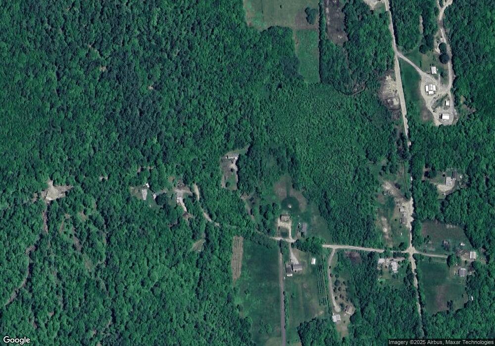
Map
Nearby Homes
- TM 202 L 7 Stark Rd
- Lot 11-5 Ball Park Rd
- Lot 11-2 Ball Park Rd
- 709 Unity Springs Rd
- 8 Skyline Rd
- 27 People Way Unit 27
- 26 Mountain View Rd
- Lot 18 River View Rd
- 4 River View Rd
- 44 Brook View Rd
- 45 Brook View Rd
- 33 Brook View Rd
- 32 Brook View Rd
- 27 Brook View Rd
- 43 Brook View Rd
- 29 Brook View Rd
- 31 Brook View Rd
- 34 Brook View Rd
- 36 Brook View Rd
- 37 Brook View Rd
Your Personal Tour Guide
Ask me questions while you tour the home.