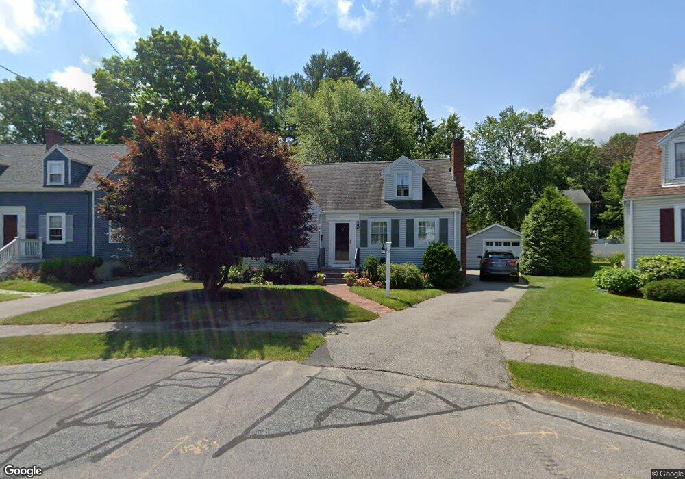
30 Emerson Place Needham, MA 02492
Estimated Value: $1,077,000 - $1,219,000
2
Beds
2
Baths
1,079
Sq Ft
$1,079/Sq Ft
Est. Value
About This Home
This home is located at 30 Emerson Place, Needham, MA 02492 and is currently estimated at $1,164,427, approximately $1,079 per square foot. 30 Emerson Place is a home located in Norfolk County with nearby schools including Newman Elementary School, High Rock Middle School, and Pollard Middle School.
Ownership History
Date
Name
Owned For
Owner Type
Purchase Details
Closed on
May 17, 2019
Sold by
Madden Valentine F and Madden Val F
Bought by
Valentine F Madden Lt
Current Estimated Value
Purchase Details
Closed on
Apr 7, 1989
Sold by
Hedlund Eliz F
Bought by
Madden Val F
Home Financials for this Owner
Home Financials are based on the most recent Mortgage that was taken out on this home.
Original Mortgage
$175,000
Interest Rate
10.71%
Mortgage Type
Purchase Money Mortgage
Create a Home Valuation Report for This Property
The Home Valuation Report is an in-depth analysis detailing your home's value as well as a comparison with similar homes in the area
Home Values in the Area
Average Home Value in this Area
Purchase History
| Date | Buyer | Sale Price | Title Company |
|---|---|---|---|
| Valentine F Madden Lt | -- | -- | |
| Madden Val F | $225,000 | -- |
Source: Public Records
Mortgage History
| Date | Status | Borrower | Loan Amount |
|---|---|---|---|
| Previous Owner | Madden Val F | $170,000 | |
| Previous Owner | Madden Val F | $175,000 |
Source: Public Records
Tax History Compared to Growth
Tax History
| Year | Tax Paid | Tax Assessment Tax Assessment Total Assessment is a certain percentage of the fair market value that is determined by local assessors to be the total taxable value of land and additions on the property. | Land | Improvement |
|---|---|---|---|---|
| 2025 | $10,018 | $945,100 | $752,700 | $192,400 |
| 2024 | $10,184 | $813,400 | $527,200 | $286,200 |
| 2023 | $10,332 | $792,300 | $527,200 | $265,100 |
| 2022 | $10,011 | $748,800 | $488,200 | $260,600 |
| 2021 | $9,757 | $748,800 | $488,200 | $260,600 |
| 2020 | $9,470 | $758,200 | $488,200 | $270,000 |
| 2019 | $8,813 | $711,300 | $443,800 | $267,500 |
| 2018 | $8,450 | $711,300 | $443,800 | $267,500 |
| 2017 | $8,098 | $681,100 | $443,800 | $237,300 |
| 2016 | $7,860 | $681,100 | $443,800 | $237,300 |
| 2015 | $7,690 | $681,100 | $443,800 | $237,300 |
| 2014 | $7,176 | $616,500 | $403,500 | $213,000 |
Source: Public Records
Map
Nearby Homes
- 26 Emerson Place
- 32 Emerson Place
- 197 High Rock St
- 203 High Rock St
- 22 Emerson Place
- 191 High Rock St
- 33 Emerson Place
- 211 High Rock St
- 16 Emerson Place
- 185 High Rock St
- 41 Emerson Rd
- 217 High Rock St
- 31 Emerson Place
- 23 Emerson Place
- 51 Emerson Rd
- 29 Emerson Place
- 202 High Rock St
- 35 Emerson Rd
- 223 High Rock St
- 17 Emerson Place