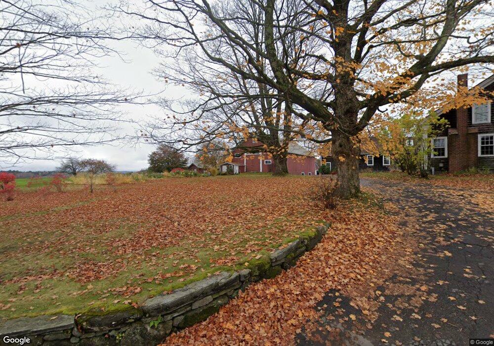
30 Frank Williams Rd Shelburne Falls, MA 01370
Estimated Value: $392,000
--
Bed
2
Baths
3,108
Sq Ft
$126/Sq Ft
Est. Value
About This Home
This home is located at 30 Frank Williams Rd, Shelburne Falls, MA 01370 and is currently priced at $392,000, approximately $126 per square foot. 30 Frank Williams Rd is a home located in Franklin County with nearby schools including Mohawk Trail Regional High School.
Ownership History
Date
Name
Owned For
Owner Type
Purchase Details
Closed on
Dec 30, 2024
Sold by
Simpson Josiah J
Bought by
Josiah J L Simpson Int J and Josiah Simpson
Current Estimated Value
Purchase Details
Closed on
Dec 29, 2017
Sold by
Linsly-Simpson J J
Bought by
Bishop Richard C
Create a Home Valuation Report for This Property
The Home Valuation Report is an in-depth analysis detailing your home's value as well as a comparison with similar homes in the area
Home Values in the Area
Average Home Value in this Area
Purchase History
| Date | Buyer | Sale Price | Title Company |
|---|---|---|---|
| Josiah J L Simpson Int J | -- | None Available | |
| Bishop Richard C | -- | -- | |
| Linsly-Simpson J J | -- | -- | |
| Bishop Richard C | -- | -- |
Source: Public Records
Mortgage History
| Date | Status | Borrower | Loan Amount |
|---|---|---|---|
| Previous Owner | Bishop Richard C | $544,000 | |
| Previous Owner | Bishop Richard C | $198,000 | |
| Previous Owner | Bishop Richard C | $225,000 |
Source: Public Records
Tax History Compared to Growth
Tax History
| Year | Tax Paid | Tax Assessment Tax Assessment Total Assessment is a certain percentage of the fair market value that is determined by local assessors to be the total taxable value of land and additions on the property. | Land | Improvement |
|---|---|---|---|---|
| 2025 | $10,569 | $823,129 | $88,579 | $734,550 |
| 2024 | $10,684 | $805,760 | $87,410 | $718,350 |
| 2023 | $10,857 | $795,406 | $86,206 | $709,200 |
| 2022 | $11,261 | $777,186 | $84,936 | $692,250 |
| 2021 | $8,506 | $587,822 | $75,297 | $512,525 |
| 2020 | $7,914 | $566,122 | $53,597 | $512,525 |
| 2019 | $7,778 | $540,541 | $53,316 | $487,225 |
| 2018 | $8,192 | $519,799 | $50,999 | $468,800 |
| 2017 | $5,766 | $388,300 | $47,600 | $340,700 |
| 2015 | $7,521 | $541,500 | $94,800 | $446,700 |
| 2014 | $7,375 | $541,500 | $94,800 | $446,700 |
Source: Public Records
Map
Nearby Homes
- 414 Mohawk Trail
- 22 Princeton Terrace Unit 22
- 6 Keegan Ln Unit E
- 0 Fiske Mill Rd
- 151 Smead Hill Rd
- 163 S Shelburne Rd
- 23 Robbins Rd
- 187 Plain Rd
- 336 Plain Rd
- 83 Newton St
- 104 Leyden Rd
- 107 Fairview St E
- 105 - 107 Bridge St
- 75 Phillips St
- 0 Pickett Ln
- 116-120 Elm St
- 27 Lunt Dr
- 130 Laurel St
- 4 Pickett Ln
- 58A Laurel St
- 54 Frank Williams Rd
- 55 Frank Williams Rd
- 62 Frank Williams Rd
- 107 Skinner Rd
- 3 Frank Williams Rd
- 1089 Mohawk Trail
- 1089 Mohawk Trail Unit 2
- 1089 Mohawk Trail Unit 1
- 61 Frank Williams Rd
- 1105 Mohawk Trail
- 1105 Mohawk Trail
- 0 Skinner Rd Unit 30277123
- 137 Skinner Rd
- 76 Frank Williams Rd
- 1063 Mohawk Trail
- 138 Skinner Rd
- 0 Zerah Fiske Rd
- 77 Skinner Rd
- 0 Skinner Rd
- 88 Frank Williams Rd