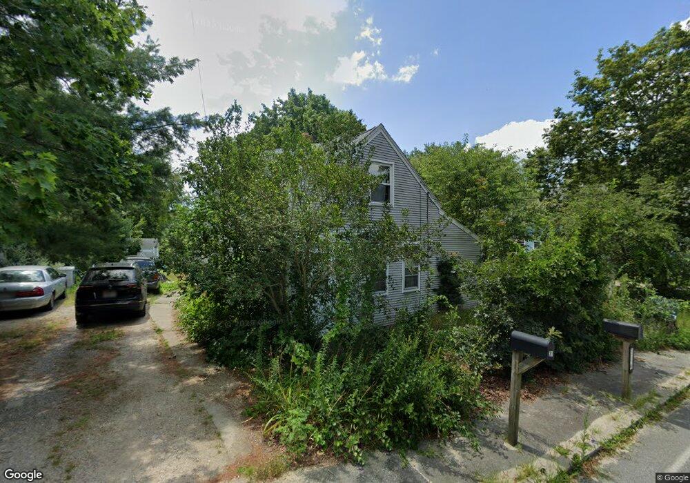
30 Gault Rd West Wareham, MA 02576
Estimated Value: $388,000 - $523,000
3
Beds
1
Bath
958
Sq Ft
$441/Sq Ft
Est. Value
About This Home
This home is located at 30 Gault Rd, West Wareham, MA 02576 and is currently estimated at $422,298, approximately $440 per square foot. 30 Gault Rd is a home located in Plymouth County.
Ownership History
Date
Name
Owned For
Owner Type
Purchase Details
Closed on
Nov 14, 2016
Sold by
Denardo Michaela M and Denardo Michael J
Bought by
Denardo Rebecca E
Current Estimated Value
Home Financials for this Owner
Home Financials are based on the most recent Mortgage that was taken out on this home.
Original Mortgage
$142,000
Outstanding Balance
$113,388
Interest Rate
3.42%
Mortgage Type
New Conventional
Estimated Equity
$308,910
Purchase Details
Closed on
Nov 9, 1988
Sold by
Fogarty William
Bought by
Denardo Michael J
Home Financials for this Owner
Home Financials are based on the most recent Mortgage that was taken out on this home.
Original Mortgage
$91,000
Interest Rate
10.36%
Mortgage Type
Purchase Money Mortgage
Create a Home Valuation Report for This Property
The Home Valuation Report is an in-depth analysis detailing your home's value as well as a comparison with similar homes in the area
Home Values in the Area
Average Home Value in this Area
Purchase History
| Date | Buyer | Sale Price | Title Company |
|---|---|---|---|
| Denardo Rebecca E | $178,000 | -- | |
| Denardo Rebecca E | $178,000 | -- | |
| Denardo Michael J | $97,000 | -- |
Source: Public Records
Mortgage History
| Date | Status | Borrower | Loan Amount |
|---|---|---|---|
| Open | Denardo Rebecca E | $142,000 | |
| Closed | Denardo Rebecca E | $142,000 | |
| Previous Owner | Denardo Michael J | $115,000 | |
| Previous Owner | Denardo Michael J | $84,000 | |
| Previous Owner | Denardo Michael J | $91,000 | |
| Previous Owner | Denardo Michael J | $11,000 |
Source: Public Records
Tax History Compared to Growth
Tax History
| Year | Tax Paid | Tax Assessment Tax Assessment Total Assessment is a certain percentage of the fair market value that is determined by local assessors to be the total taxable value of land and additions on the property. | Land | Improvement |
|---|---|---|---|---|
| 2025 | $3,156 | $302,900 | $113,000 | $189,900 |
| 2024 | $3,225 | $287,200 | $89,300 | $197,900 |
| 2023 | $2,917 | $260,900 | $81,000 | $179,900 |
| 2022 | $2,917 | $221,300 | $81,000 | $140,300 |
| 2021 | $2,710 | $201,500 | $81,000 | $120,500 |
| 2020 | $2,603 | $196,300 | $81,000 | $115,300 |
| 2019 | $2,457 | $184,900 | $81,100 | $103,800 |
| 2018 | $2,308 | $169,300 | $81,100 | $88,200 |
| 2017 | $2,277 | $169,300 | $81,100 | $88,200 |
| 2016 | $2,158 | $159,500 | $81,100 | $78,400 |
| 2015 | $2,059 | $157,500 | $81,100 | $76,400 |
| 2014 | $2,073 | $161,300 | $77,000 | $84,300 |
Source: Public Records
Map
Nearby Homes
- 20 Gault Rd
- 51 Crest Dr
- 27 Siesta Dr
- 103 Castle Dr
- 41 Longboat Rd
- 47 Weaver St
- 59 Timber Ln
- 87 Great Hill Dr
- 11 Acoaxet Ln
- 189 Pine View Terrace
- 72 Papermill Rd Unit 72
- 199 Windswept Rd
- 2230 Cranberry Hwy Unit 1
- 11 Fonseca Way
- 563 County Rd
- 46 Helen St
- 19 Station St
- 9 White Pine Ave
- 7 Forbes Rd
- 687 Main St