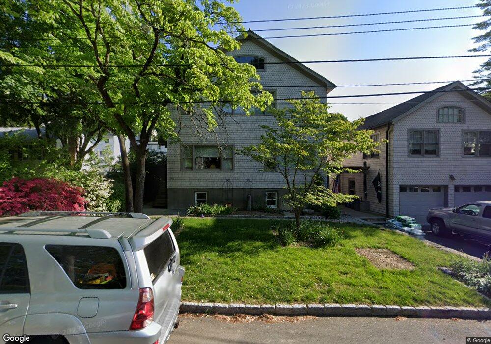
30 Gould Ave Dobbs Ferry, NY 10522
Estimated Value: $945,000 - $1,252,000
--
Bed
--
Bath
2,520
Sq Ft
$442/Sq Ft
Est. Value
About This Home
This home is located at 30 Gould Ave, Dobbs Ferry, NY 10522 and is currently estimated at $1,114,813, approximately $442 per square foot. 30 Gould Ave is a home located in Westchester County with nearby schools including Concord Road Elementary School, Ardsley Middle School, and Ardsley High School.
Ownership History
Date
Name
Owned For
Owner Type
Purchase Details
Closed on
Sep 8, 2004
Sold by
Petretti Mary Louise
Bought by
Petretti Paul J
Current Estimated Value
Home Financials for this Owner
Home Financials are based on the most recent Mortgage that was taken out on this home.
Original Mortgage
$200,000
Interest Rate
5.68%
Mortgage Type
Stand Alone First
Create a Home Valuation Report for This Property
The Home Valuation Report is an in-depth analysis detailing your home's value as well as a comparison with similar homes in the area
Home Values in the Area
Average Home Value in this Area
Purchase History
| Date | Buyer | Sale Price | Title Company |
|---|---|---|---|
| Petretti Paul J | $450,000 | The Judicial Title Ins Agenc |
Source: Public Records
Mortgage History
| Date | Status | Borrower | Loan Amount |
|---|---|---|---|
| Closed | Petretti Paul J | $200,000 |
Source: Public Records
Tax History Compared to Growth
Tax History
| Year | Tax Paid | Tax Assessment Tax Assessment Total Assessment is a certain percentage of the fair market value that is determined by local assessors to be the total taxable value of land and additions on the property. | Land | Improvement |
|---|---|---|---|---|
| 2024 | $25,637 | $1,053,700 | $316,400 | $737,300 |
| 2023 | $23,548 | $932,500 | $270,400 | $662,100 |
| 2022 | $26,436 | $868,700 | $270,400 | $598,300 |
| 2021 | $21,575 | $797,000 | $270,400 | $526,600 |
| 2020 | $22,703 | $765,100 | $270,400 | $494,700 |
| 2019 | $24,098 | $742,100 | $270,400 | $471,700 |
| 2018 | $24,632 | $742,100 | $270,400 | $471,700 |
| 2017 | $11,635 | $721,100 | $270,400 | $450,700 |
| 2016 | $18,998 | $700,100 | $270,400 | $429,700 |
| 2015 | -- | $20,000 | $1,500 | $18,500 |
| 2014 | -- | $20,000 | $1,500 | $18,500 |
| 2013 | $6,890 | $20,000 | $1,500 | $18,500 |
Source: Public Records
Map
Nearby Homes
- 53 Allen St
- 86 Briary Rd
- 175 Northfield Ave
- 0 Ashford Ave Unit KEY885130
- 0 Lyman Place Unit KEY923539
- 0 Lyman Place Unit 11393176
- 20 Overlook Rd
- 0 Cyrus Field Rd Unit ONEH6318615
- 36 Capt Honeywells Rd
- 23 Bonaventure Ave
- 1402 Hunters Run
- 5 Forkland Ln
- 28 Lincoln Ave
- 12 Shady Rd
- 17 Prospect Ave
- 1001 Hunters Run
- 0 Springwood Ave
- 29 Western Dr
- 26 Round Hill Rd
- 70 Washington Ave
- 42 Gould Ave
- 26 Gould Ave
- 35 Sandrock Ave
- 41 Sandrock Ave
- 29 Sandrock Ave
- 29 Sandrock Ave
- 25 Sandrock Ave
- 37 Gould Ave
- 45 Sandrock Ave
- 33 Gould Ave
- 45 Gould Ave
- 2 Byron Place
- 21 Gould Ave
- 67 Northfield Ave
- 71 Northfield Ave
- 49 Sandrock Ave
- 49 Gould Ave
- 61 Northfield Ave
- 17 Sandrock Ave
- 38 Moulton Ave Unit 2