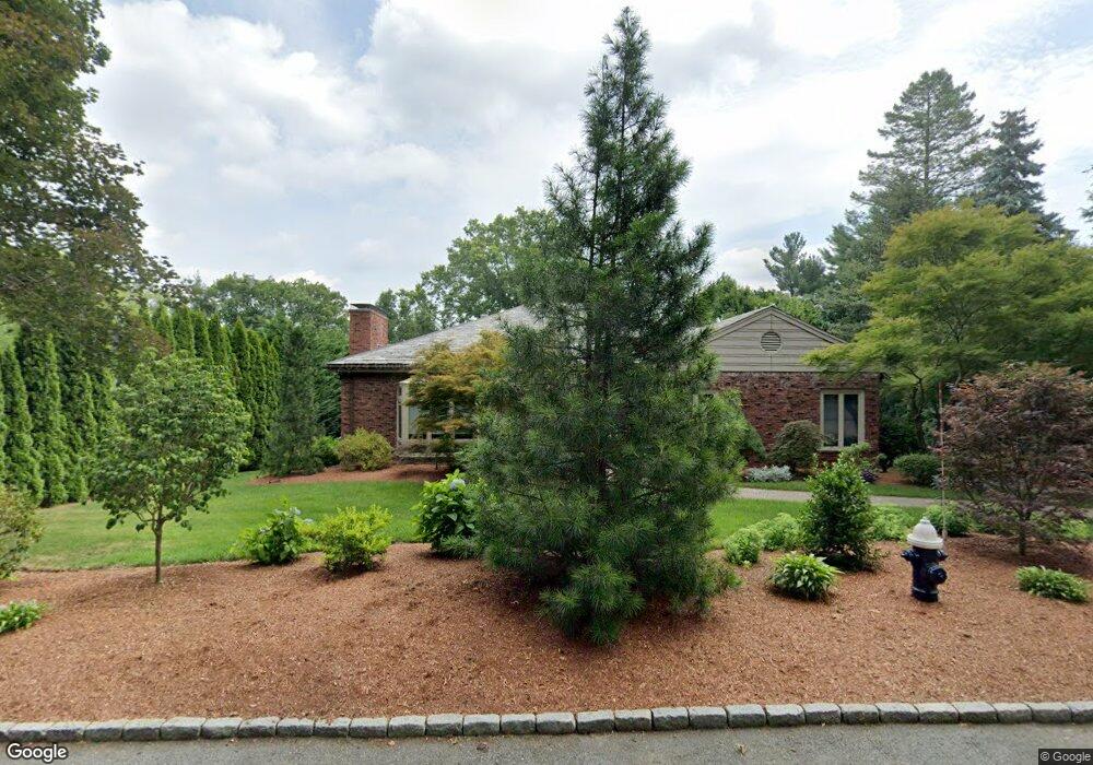
30 Heath Hill St Brookline, MA 02445
South Brookline NeighborhoodEstimated Value: $3,093,000 - $3,855,000
4
Beds
3
Baths
3,798
Sq Ft
$931/Sq Ft
Est. Value
About This Home
This home is located at 30 Heath Hill St, Brookline, MA 02445 and is currently estimated at $3,535,901, approximately $930 per square foot. 30 Heath Hill St is a home located in Norfolk County with nearby schools including Heath Elementary School, Maimonides School, and Bais Yaakov Of Boston High School.
Ownership History
Date
Name
Owned For
Owner Type
Purchase Details
Closed on
Jun 16, 1999
Sold by
Feldman Solomon M
Bought by
Singer Jeffrey D and Singer Rebecca C
Current Estimated Value
Home Financials for this Owner
Home Financials are based on the most recent Mortgage that was taken out on this home.
Original Mortgage
$400,000
Outstanding Balance
$104,972
Interest Rate
6.99%
Mortgage Type
Purchase Money Mortgage
Estimated Equity
$3,430,929
Create a Home Valuation Report for This Property
The Home Valuation Report is an in-depth analysis detailing your home's value as well as a comparison with similar homes in the area
Home Values in the Area
Average Home Value in this Area
Purchase History
| Date | Buyer | Sale Price | Title Company |
|---|---|---|---|
| Singer Jeffrey D | $720,000 | -- |
Source: Public Records
Mortgage History
| Date | Status | Borrower | Loan Amount |
|---|---|---|---|
| Open | Singer Jeffrey D | $400,000 |
Source: Public Records
Tax History Compared to Growth
Tax History
| Year | Tax Paid | Tax Assessment Tax Assessment Total Assessment is a certain percentage of the fair market value that is determined by local assessors to be the total taxable value of land and additions on the property. | Land | Improvement |
|---|---|---|---|---|
| 2025 | $29,420 | $2,980,700 | $1,473,800 | $1,506,900 |
| 2024 | $27,969 | $2,862,700 | $1,417,100 | $1,445,600 |
| 2023 | $25,524 | $2,560,100 | $1,181,000 | $1,379,100 |
| 2022 | $24,846 | $2,438,300 | $1,124,800 | $1,313,500 |
| 2021 | $22,975 | $2,344,400 | $1,081,500 | $1,262,900 |
| 2020 | $21,034 | $2,225,800 | $983,200 | $1,242,600 |
| 2019 | $19,863 | $2,119,800 | $936,400 | $1,183,400 |
| 2018 | $21,619 | $2,285,300 | $1,008,300 | $1,277,000 |
| 2017 | $21,301 | $2,156,000 | $951,200 | $1,204,800 |
| 2016 | $20,995 | $2,014,900 | $889,000 | $1,125,900 |
| 2015 | $20,112 | $1,883,100 | $830,800 | $1,052,300 |
| 2014 | $20,007 | $1,756,500 | $755,200 | $1,001,300 |
Source: Public Records
Map
Nearby Homes
- 675 Chestnut Hill Ave
- 55 Leicester St
- 55 Reservoir Rd Unit 2
- 120 Seaver St Unit A103
- 120 Seaver St Unit C-102
- 372 Warren St
- 80 Dudley St
- 30 Ackers Ave
- 39 Clyde St
- 59 Ackers Ave Unit 1
- 88 Cutler Ln
- 469 Walnut St
- 540 Chestnut Hill Ave
- 487 Boylston St Unit 3
- 130 Cabot St
- 9 Willard Rd
- 371 Walnut St
- 71 Sears Rd
- 333 Clark Rd
- 94 Beaconsfield Rd Unit 201
- 22 Heath Hill St
- 25 Lee St
- 31 Lee St
- 12 Heath Hill St
- 752 Boylston St Unit 1
- 752 Boylston St Unit 2
- 752 Boylston St
- 37 Lee St
- 37 Lee St Unit 1
- 740 Boylston St
- 11 Heath Hill St
- 54 Heath Hill St
- 21 Heath Hill St
- 21 Heath Hill St Unit 1
- 49 Lee St Unit A
- 49 Lee St
- 49 Lee St Unit 49
- 13 Heath Hill Unit 1
- 33 Heath Hill St
- 0 Heath Hill Unit 70877847