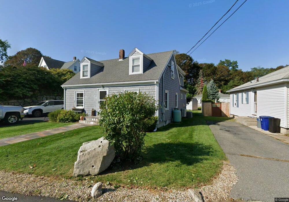
30 Hodgkins St Gloucester, MA 01930
Riverview NeighborhoodEstimated Value: $676,000 - $784,000
3
Beds
2
Baths
1,560
Sq Ft
$469/Sq Ft
Est. Value
About This Home
This home is located at 30 Hodgkins St, Gloucester, MA 01930 and is currently estimated at $731,895, approximately $469 per square foot. 30 Hodgkins St is a home located in Essex County with nearby schools including Beeman Memorial, Ralph B O'maley Middle School, and Gloucester High School.
Ownership History
Date
Name
Owned For
Owner Type
Purchase Details
Closed on
May 1, 2007
Sold by
Obrien Robert K
Bought by
Obrien Christopher and Obrien Jill A
Current Estimated Value
Home Financials for this Owner
Home Financials are based on the most recent Mortgage that was taken out on this home.
Original Mortgage
$264,000
Outstanding Balance
$160,671
Interest Rate
6.18%
Mortgage Type
Purchase Money Mortgage
Estimated Equity
$571,224
Create a Home Valuation Report for This Property
The Home Valuation Report is an in-depth analysis detailing your home's value as well as a comparison with similar homes in the area
Home Values in the Area
Average Home Value in this Area
Purchase History
| Date | Buyer | Sale Price | Title Company |
|---|---|---|---|
| Obrien Christopher | $330,000 | -- | |
| Obrien Christopher | $330,000 | -- |
Source: Public Records
Mortgage History
| Date | Status | Borrower | Loan Amount |
|---|---|---|---|
| Open | Obrien Christopher | $264,000 | |
| Closed | Obrien Christopher | $264,000 |
Source: Public Records
Tax History
| Year | Tax Paid | Tax Assessment Tax Assessment Total Assessment is a certain percentage of the fair market value that is determined by local assessors to be the total taxable value of land and additions on the property. | Land | Improvement |
|---|---|---|---|---|
| 2025 | $6,237 | $641,700 | $206,200 | $435,500 |
| 2024 | $6,276 | $645,000 | $196,400 | $448,600 |
| 2023 | $6,087 | $574,800 | $175,400 | $399,400 |
| 2022 | $5,469 | $466,200 | $149,000 | $317,200 |
| 2021 | $5,530 | $444,500 | $135,500 | $309,000 |
| 2020 | $5,288 | $428,900 | $135,500 | $293,400 |
| 2019 | $5,226 | $411,800 | $135,500 | $276,300 |
| 2018 | $5,109 | $395,100 | $135,500 | $259,600 |
| 2017 | $3,755 | $284,700 | $129,000 | $155,700 |
| 2016 | $3,660 | $268,900 | $129,500 | $139,400 |
| 2015 | $3,523 | $258,100 | $129,500 | $128,600 |
Source: Public Records
Map
Nearby Homes
- 13 Honeysuckle Rd
- 3 Deacon Farm Ln
- 31 Echo Ave
- 2 Breezy Point Rd
- 672 Washington St
- 13 Mystic Ave
- 167 Atlantic St
- 8 Mystic Ave
- 178 Atlantic St
- 6 Monroe Ct
- 98 Maplewood Ave
- 226 Atlantic St
- 9 Cleveland Place
- 12 Arthur St
- 40 Sargent St
- 15 Harvard St
- 19 Trask St Unit 2
- 33 Maplewood Ave Unit 310
- 50 Warner St
- 145 Essex Ave Unit 402
Your Personal Tour Guide
Ask me questions while you tour the home.