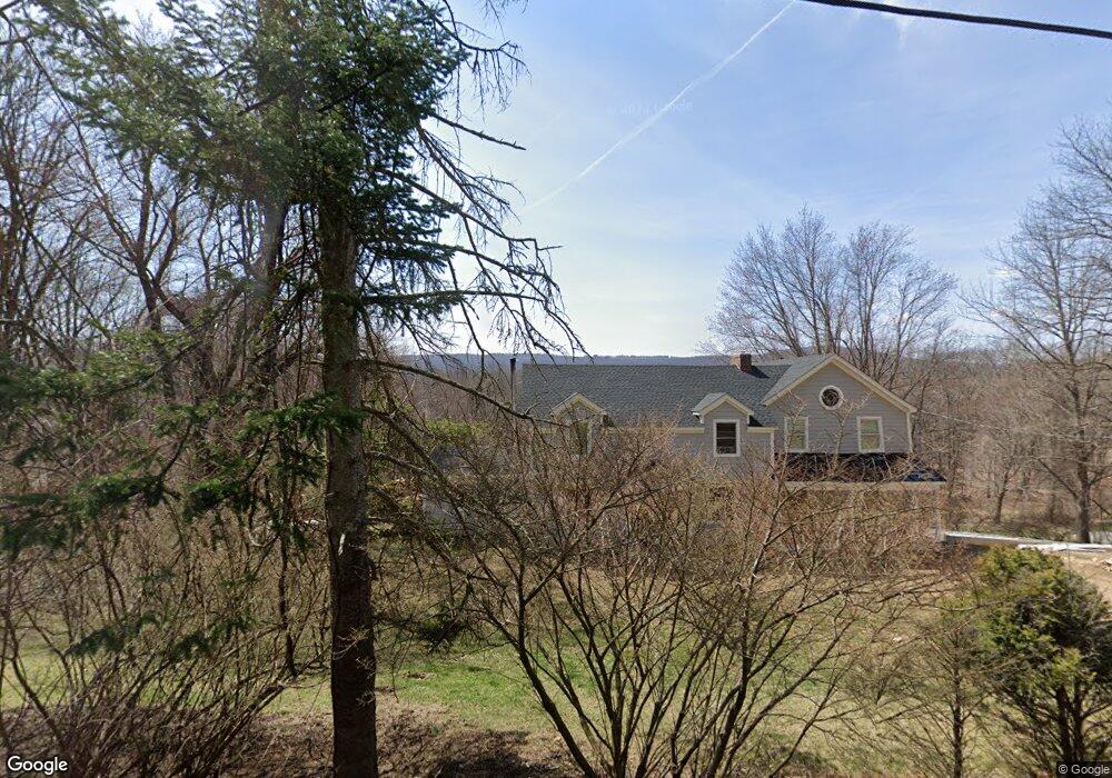
30 Hubbell Mountain Rd Sherman, CT 06784
Estimated Value: $583,294 - $704,000
3
Beds
2
Baths
1,942
Sq Ft
$331/Sq Ft
Est. Value
About This Home
This home is located at 30 Hubbell Mountain Rd, Sherman, CT 06784 and is currently estimated at $642,074, approximately $330 per square foot. 30 Hubbell Mountain Rd is a home located in Fairfield County with nearby schools including Sherman School.
Ownership History
Date
Name
Owned For
Owner Type
Purchase Details
Closed on
Jul 21, 1999
Sold by
Howard John S and Howard Lisa T
Bought by
Pirone John A
Current Estimated Value
Purchase Details
Closed on
May 19, 1994
Sold by
Katherines Assoc
Bought by
Howard John S and Howard Lisa T
Create a Home Valuation Report for This Property
The Home Valuation Report is an in-depth analysis detailing your home's value as well as a comparison with similar homes in the area
Home Values in the Area
Average Home Value in this Area
Purchase History
| Date | Buyer | Sale Price | Title Company |
|---|---|---|---|
| Pirone John A | $254,500 | -- | |
| Howard John S | $205,000 | -- |
Source: Public Records
Mortgage History
| Date | Status | Borrower | Loan Amount |
|---|---|---|---|
| Open | Howard John S | $315,000 | |
| Closed | Howard John S | $313,500 | |
| Closed | Howard John S | $326,000 |
Source: Public Records
Tax History Compared to Growth
Tax History
| Year | Tax Paid | Tax Assessment Tax Assessment Total Assessment is a certain percentage of the fair market value that is determined by local assessors to be the total taxable value of land and additions on the property. | Land | Improvement |
|---|---|---|---|---|
| 2025 | $3,499 | $209,900 | $86,000 | $123,900 |
| 2024 | $3,434 | $209,900 | $86,000 | $123,900 |
| 2023 | $3,740 | $209,900 | $86,000 | $123,900 |
| 2022 | $3,816 | $209,900 | $86,000 | $123,900 |
| 2021 | $3,234 | $209,900 | $86,000 | $123,900 |
| 2020 | $4,011 | $209,900 | $86,000 | $123,900 |
| 2019 | $3,291 | $209,900 | $86,000 | $123,900 |
| 2018 | $4,328 | $212,900 | $90,300 | $122,600 |
| 2017 | $4,330 | $213,000 | $90,400 | $122,600 |
| 2016 | $4,329 | $212,940 | $90,370 | $122,570 |
| 2015 | $4,267 | $212,940 | $90,370 | $122,570 |
| 2014 | $4,225 | $212,940 | $90,370 | $122,570 |
Source: Public Records
Map
Nearby Homes
- 21 Holiday Point Rd
- 6 Brinsmade Ln
- 7 Ridge Rd
- 18 Fox Run
- 2 Coburn Road W, She Coburn Rd W
- 8 Ledgewood Dr
- 0 Sherman Rd
- 4 Deer Run Trail
- 8 Candleview Dr
- 0 Candlewood Mountain Rd Unit 24137997
- 0 Candlewood Mountain Rd Unit 24138000
- 0 Candlewood Mountain Rd Unit 24134055
- 12 Shadow Ln
- 86 Connecticut 37
- 7 Glenview Dr
- 5 Stone Wall Ln
- 29 Candlewood Common
- 0 Rte 39 South State Route
- 211 Kent Rd
- 22 Candlewood Common
- 2 Atchison Cove Rd
- 4 Atchison Cove Rd
- 28 Hubbell Mountain Rd
- 6 Irene Ln
- 32 Hubbell Mountain Rd
- 9 Hubbell Mountain Rd
- 6 Atchison Cove Rd
- 26 Hubbell Mountain Rd
- 8 Brookside Ln
- 8 Atchison Cove Rd
- 34 Hubbell Mountain Rd
- 4 Brookside Ln
- 17 Brookside Ln
- 1 Atchison Cove Rd
- 51 Hubbell Mountain Rd
- 19 Cedar Point Dr
- 10 Atchison Cove Rd
- 9 Brookside Ln
- 3 Atchison Cove Rd
- 2 Brookside Ln