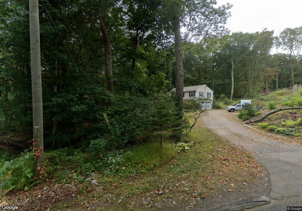
30 Laurel Cove Rd East Haddam, CT 06423
Estimated Value: $353,000 - $435,000
3
Beds
2
Baths
1,116
Sq Ft
$350/Sq Ft
Est. Value
About This Home
This home is located at 30 Laurel Cove Rd, East Haddam, CT 06423 and is currently estimated at $390,119, approximately $349 per square foot. 30 Laurel Cove Rd is a home located in Middlesex County with nearby schools including East Haddam Elementary School, Nathan Hale-Ray Middle School, and Nathan Hale-Ray High School.
Ownership History
Date
Name
Owned For
Owner Type
Purchase Details
Closed on
Dec 15, 1998
Sold by
Lowry James J and Lowry Maryann E
Bought by
Bishop Gerard L and Bishop Janis M
Current Estimated Value
Home Financials for this Owner
Home Financials are based on the most recent Mortgage that was taken out on this home.
Original Mortgage
$100,000
Interest Rate
6.8%
Create a Home Valuation Report for This Property
The Home Valuation Report is an in-depth analysis detailing your home's value as well as a comparison with similar homes in the area
Home Values in the Area
Average Home Value in this Area
Purchase History
| Date | Buyer | Sale Price | Title Company |
|---|---|---|---|
| Bishop Gerard L | $105,000 | -- |
Source: Public Records
Mortgage History
| Date | Status | Borrower | Loan Amount |
|---|---|---|---|
| Open | Bishop Gerard L | $139,400 | |
| Closed | Bishop Gerard L | $75,000 | |
| Closed | Bishop Gerard L | $95,000 | |
| Closed | Bishop Gerard L | $100,000 |
Source: Public Records
Tax History Compared to Growth
Tax History
| Year | Tax Paid | Tax Assessment Tax Assessment Total Assessment is a certain percentage of the fair market value that is determined by local assessors to be the total taxable value of land and additions on the property. | Land | Improvement |
|---|---|---|---|---|
| 2025 | $5,914 | $210,780 | $124,890 | $85,890 |
| 2024 | $5,640 | $210,780 | $124,890 | $85,890 |
| 2023 | $5,428 | $210,780 | $124,890 | $85,890 |
| 2022 | $5,035 | $158,380 | $86,490 | $71,890 |
| 2021 | $4,821 | $158,380 | $86,490 | $71,890 |
| 2020 | $4,821 | $158,380 | $86,490 | $71,890 |
| 2019 | $4,821 | $158,380 | $86,490 | $71,890 |
| 2018 | $4,698 | $158,380 | $86,490 | $71,890 |
| 2017 | $5,116 | $172,970 | $99,680 | $73,290 |
| 2016 | $5,077 | $172,970 | $99,680 | $73,290 |
| 2015 | $4,961 | $172,970 | $99,680 | $73,290 |
| 2014 | $4,826 | $172,970 | $99,680 | $73,290 |
Source: Public Records
Map
Nearby Homes
- 0 Lakeside Dr
- 114 Lakeside Dr
- 45 Alger Rd
- 55 Bogel Rd
- 112 Schulman Veslak Rd
- 63 Schulman Veslak Rd
- 8 Tom Rd
- 53 Shanaghans Rd
- 206 Sheepskin Hollow Rd
- 53 Falls Bashan Rd
- 42 Dogwood Rd
- 5 Joe Williams Rd
- 80 Orchard Rd
- 16 Mount Parnassus Rd
- 2 Acorn Dr
- 00 Mount Parnassus Rd
- 53 Falls Rd
- 154 Falls Rd
- 10 Orchard Rd
- 398 E Haddam Moodus Rd
- 32 Laurel Cove Rd
- 27 Laurel Cove Rd
- 24 Laurel Cove Rd
- 4 Laurel Cove Beach Rd
- 35 Laurel Cove Rd
- 94 Smith Rd
- 10 Laurel Cove Beach Rd
- 39 Laurel Cove Rd
- 14 Laurel Cove Rd
- 14 Laurel Cove Beach Rd
- 43 Laurel Cove Rd
- 1 Laurel Cove Rd
- 98 Smith Rd
- 44 Laurel Cove Rd
- 47 Laurel Cove Rd
- 96 Smith Rd
- 104 Smith Rd
- 108 Smith Rd
- 28 Laurel Cove Beach Rd
- 55 Laurel Cove Rd