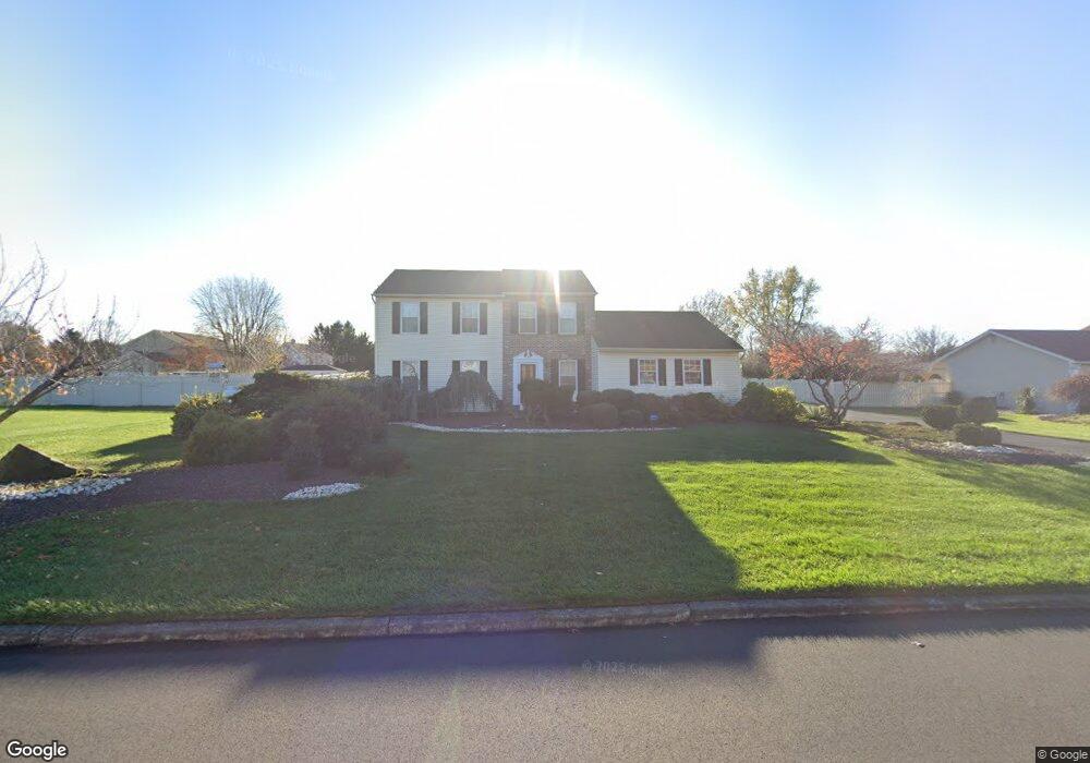
30 Leemar Dr Southampton, PA 18966
Estimated Value: $664,000 - $810,000
4
Beds
3
Baths
2,287
Sq Ft
$319/Sq Ft
Est. Value
About This Home
This home is located at 30 Leemar Dr, Southampton, PA 18966 and is currently estimated at $730,505, approximately $319 per square foot. 30 Leemar Dr is a home located in Bucks County with nearby schools including Maureen M. Welch Elementary School, Richboro Middle School, and Council Rock High School - South.
Ownership History
Date
Name
Owned For
Owner Type
Purchase Details
Closed on
Nov 23, 1979
Sold by
Hampton Enterprises Corp
Bought by
Hanover Marc M and Hanover Freda
Current Estimated Value
Create a Home Valuation Report for This Property
The Home Valuation Report is an in-depth analysis detailing your home's value as well as a comparison with similar homes in the area
Home Values in the Area
Average Home Value in this Area
Purchase History
| Date | Buyer | Sale Price | Title Company |
|---|---|---|---|
| Hanover Marc M | $75,900 | -- |
Source: Public Records
Tax History Compared to Growth
Tax History
| Year | Tax Paid | Tax Assessment Tax Assessment Total Assessment is a certain percentage of the fair market value that is determined by local assessors to be the total taxable value of land and additions on the property. | Land | Improvement |
|---|---|---|---|---|
| 2025 | $7,943 | $41,240 | $8,840 | $32,400 |
| 2024 | $7,943 | $41,240 | $8,840 | $32,400 |
| 2023 | $7,486 | $41,240 | $8,840 | $32,400 |
| 2022 | $7,418 | $41,240 | $8,840 | $32,400 |
| 2021 | $7,183 | $41,240 | $8,840 | $32,400 |
| 2020 | $7,022 | $41,240 | $8,840 | $32,400 |
| 2019 | $6,721 | $41,240 | $8,840 | $32,400 |
| 2018 | $6,601 | $41,240 | $8,840 | $32,400 |
| 2017 | $6,347 | $41,240 | $8,840 | $32,400 |
| 2016 | $6,347 | $41,240 | $8,840 | $32,400 |
| 2015 | -- | $41,240 | $8,840 | $32,400 |
| 2014 | -- | $41,240 | $8,840 | $32,400 |
Source: Public Records
Map
Nearby Homes
- 290 Hatboro Rd
- 105 Edwards Dr
- 3 Shady Pines Dr
- 23 Oxford Dr
- 223 Cecelia Acres Dr
- 55 Mount Pleasant Dr
- 29 Devon Rd
- 34 Acorn Dr
- 61 Legacy Oaks Dr Unit 62
- 64 Legacy Oaks Dr Unit 81
- 636 Almshouse Rd
- 54 Legacy Oaks Dr Unit 94
- 47 Creek Rd
- 249 New Rd
- 448 W Bristol Rd
- 433 Wendy Rd
- 215 Surrey Rd
- 687 W Bristol Rd
- 18 Lacey Ln
- 161 New Rd