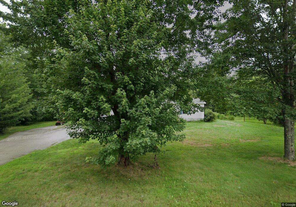
30 Lower Main St North Berwick, ME 03906
Estimated Value: $377,000 - $425,000
3
Beds
2
Baths
1,404
Sq Ft
$279/Sq Ft
Est. Value
About This Home
This home is located at 30 Lower Main St, North Berwick, ME 03906 and is currently estimated at $392,188, approximately $279 per square foot. 30 Lower Main St is a home located in York County with nearby schools including Noble High School and Fraser-Ford Child Development Center.
Ownership History
Date
Name
Owned For
Owner Type
Purchase Details
Closed on
Oct 28, 2016
Sold by
Michael A Hodurski Ret
Bought by
Jeanne W Hodurski Ret
Current Estimated Value
Purchase Details
Closed on
Jul 24, 2015
Sold by
Hodurski Michael A
Bought by
Michael A Hodurski Ret and Hodurski
Purchase Details
Closed on
Sep 23, 2008
Sold by
Talon Christine E
Bought by
Hodurski Michael A
Home Financials for this Owner
Home Financials are based on the most recent Mortgage that was taken out on this home.
Original Mortgage
$147,992
Interest Rate
6.54%
Mortgage Type
Unknown
Create a Home Valuation Report for This Property
The Home Valuation Report is an in-depth analysis detailing your home's value as well as a comparison with similar homes in the area
Home Values in the Area
Average Home Value in this Area
Purchase History
| Date | Buyer | Sale Price | Title Company |
|---|---|---|---|
| Jeanne W Hodurski Ret | -- | -- | |
| Jeanne W Hodurski Ret | -- | -- | |
| Jeanne W Hodurski Ret | -- | -- | |
| Michael A Hodurski Ret | -- | -- | |
| Michael A Hodurski Ret | -- | -- | |
| Hodurski Michael A | -- | -- | |
| Hodurski Michael A | -- | -- |
Source: Public Records
Mortgage History
| Date | Status | Borrower | Loan Amount |
|---|---|---|---|
| Previous Owner | Hodurski Michael A | $150,211 | |
| Previous Owner | Hodurski Michael A | $147,992 |
Source: Public Records
Tax History
| Year | Tax Paid | Tax Assessment Tax Assessment Total Assessment is a certain percentage of the fair market value that is determined by local assessors to be the total taxable value of land and additions on the property. | Land | Improvement |
|---|---|---|---|---|
| 2025 | $2,648 | $283,200 | $103,600 | $179,600 |
| 2024 | $2,716 | $271,600 | $103,600 | $168,000 |
| 2023 | $2,432 | $226,200 | $87,600 | $138,600 |
| 2022 | $2,162 | $193,900 | $75,900 | $118,000 |
| 2021 | $2,070 | $189,900 | $75,900 | $114,000 |
| 2020 | $2,048 | $172,100 | $68,800 | $103,300 |
| 2019 | $2,019 | $163,500 | $66,000 | $97,500 |
| 2018 | $2,024 | $156,900 | $66,000 | $90,900 |
| 2017 | $1,977 | $156,900 | $66,000 | $90,900 |
| 2016 | $1,977 | $156,900 | $66,000 | $90,900 |
| 2015 | $1,977 | $156,900 | $66,000 | $90,900 |
| 2013 | $1,953 | $156,900 | $66,000 | $90,900 |
Source: Public Records
Map
Nearby Homes
- 54 Lower Main St
- 17 Market St
- 38 High St
- 92 High St
- 67 Maple Street Lot A
- Lot #5 Adams Bridge Rd
- TBD Buffum Rd
- 30 Riverview Dr Unit D
- Lot 13 Laney Ln
- 561 Perry Oliver Rd
- 4 Legend Trail
- 13 Diamond Hill Rd
- 86 Moose Bog Ln
- 43 Michaels Rd
- 0016/001 Newhall Rd
- 26 Orioles Way
- 2668 Tatnic Rd
- 238 Merriland Ridge Rd
- 296 N Berwick Rd
- 9 Jennifer Ln Unit 3
- 32 Lower Main St
- 0 Dyer
- 23 Lower Main St
- 6 Dyer St
- 33 Lower Main St
- 5 Dyer St
- 46 Lower Main St
- 37A Lower Main Street - A
- 22 Lower Main St
- 37A Lower Main St
- 37 Lower Main St
- 41 Lower Main St
- 3 Meader St
- 8 Railroad Ave
- 9 Meader St
- 26 Meader St
- 9 Dyer St
- 15 Meader St
- 17 Meader St
- lot# Off Lower Main St
Your Personal Tour Guide
Ask me questions while you tour the home.
