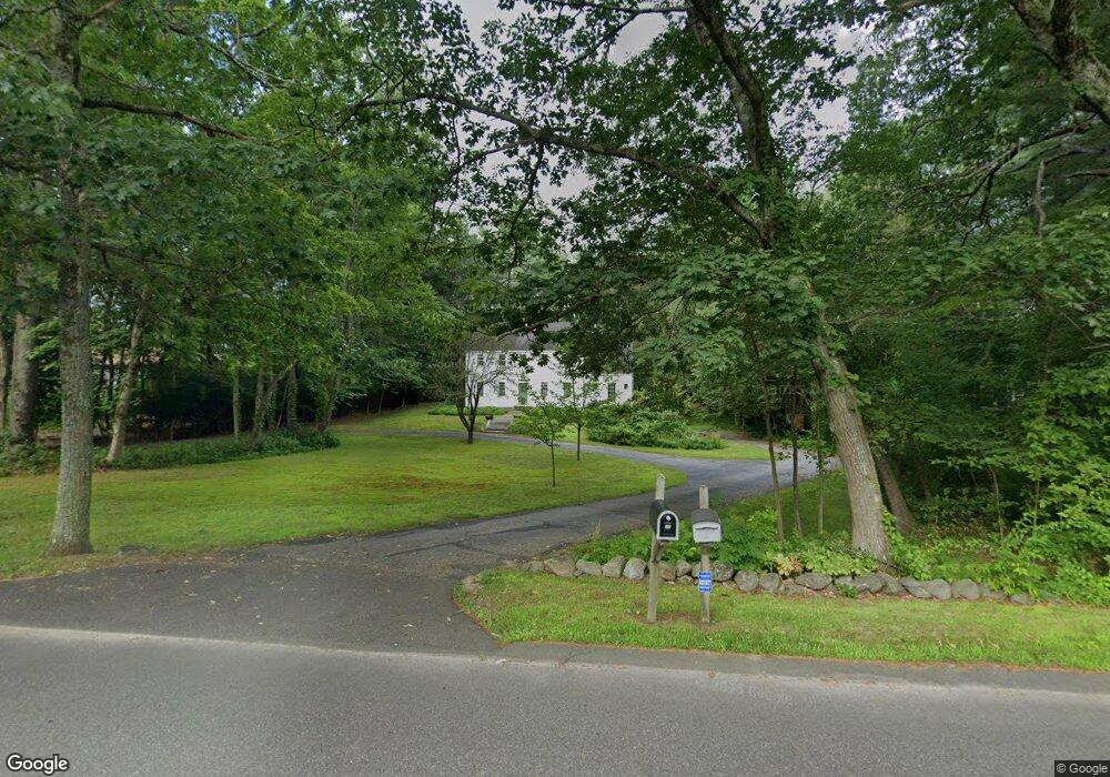
30 MacK Hill Rd Amherst, NH 03031
Estimated Value: $664,000 - $897,000
5
Beds
3
Baths
2,666
Sq Ft
$278/Sq Ft
Est. Value
About This Home
This home is located at 30 MacK Hill Rd, Amherst, NH 03031 and is currently estimated at $740,693, approximately $277 per square foot. 30 MacK Hill Rd is a home with nearby schools including Wilkins Elementary School, Amherst Middle School, and Souhegan Cooperative High School.
Ownership History
Date
Name
Owned For
Owner Type
Purchase Details
Closed on
Jan 27, 1999
Sold by
Schaub Jeffrey B and Schaub Susan M
Bought by
Upton Richard A
Current Estimated Value
Home Financials for this Owner
Home Financials are based on the most recent Mortgage that was taken out on this home.
Original Mortgage
$270,000
Interest Rate
6.67%
Create a Home Valuation Report for This Property
The Home Valuation Report is an in-depth analysis detailing your home's value as well as a comparison with similar homes in the area
Home Values in the Area
Average Home Value in this Area
Purchase History
| Date | Buyer | Sale Price | Title Company |
|---|---|---|---|
| Upton Richard A | $300,000 | -- |
Source: Public Records
Mortgage History
| Date | Status | Borrower | Loan Amount |
|---|---|---|---|
| Open | Upton Richard A | $45,000 | |
| Open | Upton Richard A | $471,694 | |
| Closed | Upton Richard A | $270,000 |
Source: Public Records
Tax History Compared to Growth
Tax History
| Year | Tax Paid | Tax Assessment Tax Assessment Total Assessment is a certain percentage of the fair market value that is determined by local assessors to be the total taxable value of land and additions on the property. | Land | Improvement |
|---|---|---|---|---|
| 2024 | $10,630 | $463,600 | $167,300 | $296,300 |
| 2023 | $10,144 | $463,600 | $167,300 | $296,300 |
| 2022 | $9,796 | $463,600 | $167,300 | $296,300 |
| 2021 | $9,879 | $463,600 | $167,300 | $296,300 |
| 2020 | $6,624 | $347,300 | $134,300 | $213,000 |
| 2019 | $2,586 | $347,300 | $134,300 | $213,000 |
| 2018 | $9,457 | $347,300 | $134,300 | $213,000 |
| 2017 | $9,033 | $347,300 | $134,300 | $213,000 |
| 2016 | $2,485 | $347,300 | $134,300 | $213,000 |
| 2015 | $8,749 | $330,400 | $152,900 | $177,500 |
| 2014 | $8,808 | $330,400 | $152,900 | $177,500 |
| 2013 | $8,739 | $330,400 | $152,900 | $177,500 |
Source: Public Records
Map
Nearby Homes
- 3 Renee Dr
- 1B Debbie Ln
- 23 Bloody Brook Rd
- 4 Bloody Brook Rd
- 135 Amherst St Unit 28
- 25 Atherton Ln
- 6 Whittemore Ln
- 37 Baboosic Lake Rd
- 67 Christian Hill Rd
- 7 Miles Rd
- 007-056 MacK Hill Rd
- 1A Debbie Ln
- 80 Christian Hill Rd
- 9 Northfield Rd
- 64 Lyndeborough Rd
- 18 Storybrook Ln
- 7 Corduroy Rd Unit 20
- 4 Tranquility Ln
- 16 Storybrook Ln
- 57 Patch Hill Ln