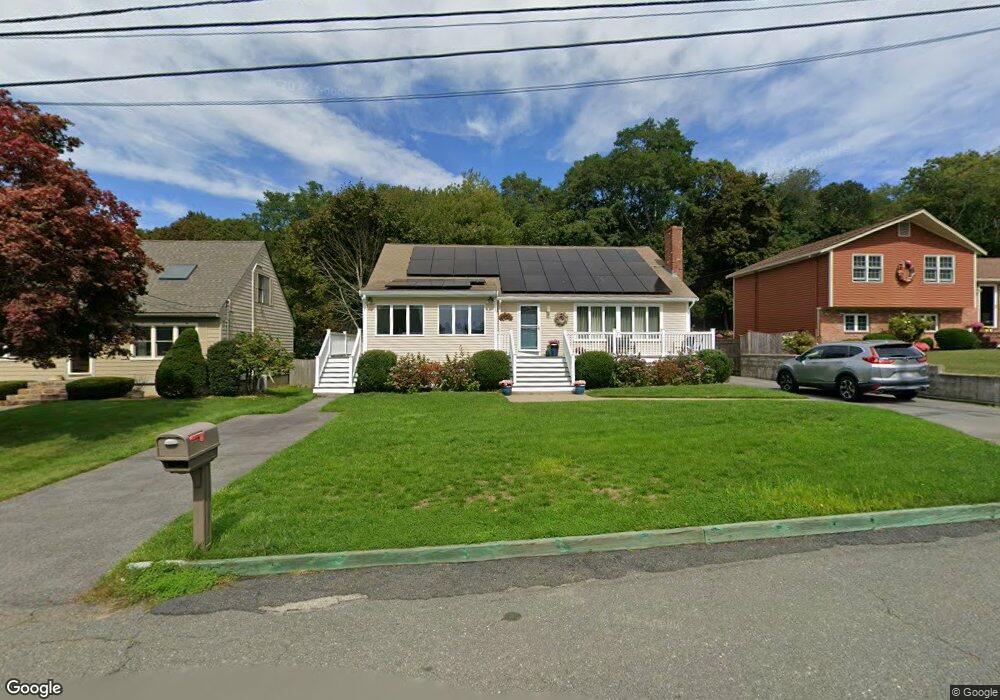
30 Macomber Rd Gloucester, MA 01930
Estimated Value: $678,000 - $890,000
3
Beds
3
Baths
1,416
Sq Ft
$561/Sq Ft
Est. Value
About This Home
This home is located at 30 Macomber Rd, Gloucester, MA 01930 and is currently estimated at $794,472, approximately $561 per square foot. 30 Macomber Rd is a home located in Essex County with nearby schools including Beeman Memorial, Ralph B O'maley Middle School, and Gloucester High School.
Ownership History
Date
Name
Owned For
Owner Type
Purchase Details
Closed on
Sep 21, 1987
Sold by
Tanso Gerald R
Bought by
Dewolfe Charles A
Current Estimated Value
Create a Home Valuation Report for This Property
The Home Valuation Report is an in-depth analysis detailing your home's value as well as a comparison with similar homes in the area
Purchase History
| Date | Buyer | Sale Price | Title Company |
|---|---|---|---|
| Dewolfe Charles A | $223,500 | -- |
Source: Public Records
Mortgage History
| Date | Status | Borrower | Loan Amount |
|---|---|---|---|
| Open | Dewolfe Charles A | $192,900 | |
| Closed | Dewolfe Charles A | $50,000 | |
| Closed | Dewolfe Charles A | $140,000 |
Source: Public Records
Tax History
| Year | Tax Paid | Tax Assessment Tax Assessment Total Assessment is a certain percentage of the fair market value that is determined by local assessors to be the total taxable value of land and additions on the property. | Land | Improvement |
|---|---|---|---|---|
| 2025 | $6,153 | $633,000 | $187,200 | $445,800 |
| 2024 | $5,937 | $610,200 | $178,200 | $432,000 |
| 2023 | $6,096 | $575,600 | $159,200 | $416,400 |
| 2022 | $5,860 | $499,600 | $138,400 | $361,200 |
| 2021 | $5,758 | $462,900 | $125,800 | $337,100 |
| 2020 | $5,577 | $452,300 | $125,800 | $326,500 |
| 2019 | $5,539 | $436,500 | $125,800 | $310,700 |
| 2018 | $5,467 | $422,800 | $125,800 | $297,000 |
| 2017 | $5,235 | $396,900 | $119,800 | $277,100 |
| 2016 | $4,961 | $364,500 | $125,000 | $239,500 |
| 2015 | $4,679 | $342,800 | $125,000 | $217,800 |
Source: Public Records
Map
Nearby Homes
- 3 Deacon Farm Ln
- 31 Echo Ave
- 2 Breezy Point Rd
- 13 Honeysuckle Rd
- 672 Washington St
- 13 Mystic Ave
- 8 Mystic Ave
- 98 Maplewood Ave
- 6 Monroe Ct
- 12 Arthur St
- 9 Cleveland Place
- 40 Sargent St
- 19 Trask St Unit 2
- 50 Warner St
- 167 Atlantic St
- 178 Atlantic St
- 226 Atlantic St
- 113 Pleasant St
- 33 Maplewood Ave Unit 310
- 15 Mount Vernon St
Your Personal Tour Guide
Ask me questions while you tour the home.