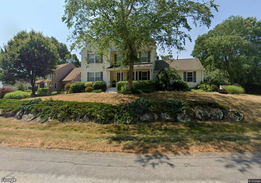
30 Misty Ct Wakefield, RI 02879
Estimated Value: $730,960 - $886,000
3
Beds
3
Baths
1,931
Sq Ft
$406/Sq Ft
Est. Value
About This Home
This home is located at 30 Misty Ct, Wakefield, RI 02879 and is currently estimated at $784,740, approximately $406 per square foot. 30 Misty Ct is a home located in Washington County with nearby schools including South Kingstown High School, Monsignor Matthew Clarke Catholic Regional School, and South Shore School.
Ownership History
Date
Name
Owned For
Owner Type
Purchase Details
Closed on
Jun 30, 2003
Sold by
Belluscio Anthony J and Belluscio Lori-Anne
Bought by
Kelleter Kenneth S
Current Estimated Value
Home Financials for this Owner
Home Financials are based on the most recent Mortgage that was taken out on this home.
Original Mortgage
$322,699
Interest Rate
5.53%
Purchase Details
Closed on
May 25, 2001
Sold by
Moorsefield Blders Inc
Bought by
Belluscio Anthony J and Belluscio Lori Anne
Create a Home Valuation Report for This Property
The Home Valuation Report is an in-depth analysis detailing your home's value as well as a comparison with similar homes in the area
Home Values in the Area
Average Home Value in this Area
Purchase History
| Date | Buyer | Sale Price | Title Company |
|---|---|---|---|
| Kelleter Kenneth S | $355,000 | -- | |
| Belluscio Anthony J | $243,500 | -- |
Source: Public Records
Mortgage History
| Date | Status | Borrower | Loan Amount |
|---|---|---|---|
| Open | Belluscio Anthony J | $321,800 | |
| Closed | Belluscio Anthony J | $90,000 | |
| Closed | Belluscio Anthony J | $322,000 | |
| Closed | Belluscio Anthony J | $322,699 |
Source: Public Records
Tax History
| Year | Tax Paid | Tax Assessment Tax Assessment Total Assessment is a certain percentage of the fair market value that is determined by local assessors to be the total taxable value of land and additions on the property. | Land | Improvement |
|---|---|---|---|---|
| 2025 | $5,517 | $617,100 | $233,600 | $383,500 |
| 2024 | $5,498 | $497,600 | $172,900 | $324,700 |
| 2023 | $5,498 | $497,600 | $172,900 | $324,700 |
| 2022 | $5,449 | $497,600 | $172,900 | $324,700 |
| 2021 | $5,430 | $375,800 | $133,200 | $242,600 |
| 2020 | $5,430 | $375,800 | $133,200 | $242,600 |
| 2019 | $5,430 | $375,800 | $133,200 | $242,600 |
| 2018 | $5,413 | $345,200 | $127,400 | $217,800 |
| 2017 | $5,285 | $345,200 | $127,400 | $217,800 |
| 2016 | $5,209 | $345,200 | $127,400 | $217,800 |
| 2015 | $5,055 | $325,700 | $115,600 | $210,100 |
| 2014 | $5,042 | $325,700 | $115,600 | $210,100 |
Source: Public Records
Map
Nearby Homes
- 1808 Kingstown Rd
- 44 Vespia Ln
- 56 Vespia Ln
- 57 Rocky Brook Way
- 95 S Woods Dr
- 0 South Rd Unit 1400966
- 1729 South Rd Unit C
- 1724 South Rd
- 301 Church St Unit 103
- 260 Sweet Allen Farm Rd Unit 3
- 507 Curtis Corner Rd
- 48 Stone Bridge Dr
- 15 Jessica Ln
- 8 Lookout Ln
- 5 Lookout Ln
- 5 Lookout Ln
- 24 Ridge Crest Ln
- 131 Columbia St
- 23 Rockland Dr
- 39 Secluded Dr
Your Personal Tour Guide
Ask me questions while you tour the home.