30 Misty Ridge Rd Clancy, MT 59634
Clancy NeighborhoodEstimated Value: $616,000 - $1,070,000
3
Beds
2
Baths
3,188
Sq Ft
$293/Sq Ft
Est. Value
About This Home
This home is located at 30 Misty Ridge Rd, Clancy, MT 59634 and is currently estimated at $933,281, approximately $292 per square foot. 30 Misty Ridge Rd is a home located in Jefferson County with nearby schools including Clancy Elementary School, Clancy Junior High School, and Jefferson High School.
Ownership History
Date
Name
Owned For
Owner Type
Purchase Details
Closed on
Sep 20, 2022
Sold by
Joan Smith Pamila
Bought by
Hohn Pamla Joan
Current Estimated Value
Purchase Details
Closed on
Jul 15, 2019
Sold by
Smith Kevin Wayne and Smith Lori Joan
Bought by
Layng Mike and Layng Jennette E
Purchase Details
Closed on
Nov 19, 2018
Sold by
Smith Kevin Wayne and Smith Kevin W
Bought by
Smith Kevin Wayne and Smith Lori Joan
Create a Home Valuation Report for This Property
The Home Valuation Report is an in-depth analysis detailing your home's value as well as a comparison with similar homes in the area
Home Values in the Area
Average Home Value in this Area
Purchase History
| Date | Buyer | Sale Price | Title Company |
|---|---|---|---|
| Hohn Pamla Joan | -- | -- | |
| Layng Mike | -- | Rocky Mountain Ttl & Insured | |
| Smith Kevin Wayne | -- | None Available | |
| Smith Kevin Wayne | -- | None Available |
Source: Public Records
Tax History
| Year | Tax Paid | Tax Assessment Tax Assessment Total Assessment is a certain percentage of the fair market value that is determined by local assessors to be the total taxable value of land and additions on the property. | Land | Improvement |
|---|---|---|---|---|
| 2025 | $3,181 | $635,124 | $0 | $0 |
| 2024 | $3,995 | $609,590 | $0 | $0 |
| 2023 | $3,882 | $609,590 | $0 | $0 |
| 2022 | $3,230 | $423,317 | $0 | $0 |
| 2021 | $2,939 | $423,317 | $0 | $0 |
| 2020 | $3,108 | $399,046 | $0 | $0 |
| 2019 | $3,054 | $399,046 | $0 | $0 |
| 2018 | $1,315 | $124,674 | $0 | $0 |
| 2017 | $1,342 | $181,674 | $0 | $0 |
| 2016 | $1,651 | $189,657 | $0 | $0 |
| 2015 | $1,441 | $189,657 | $0 | $0 |
| 2014 | $313 | $95,609 | $0 | $0 |
Source: Public Records
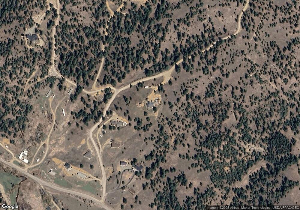
Map
Nearby Homes
- 100 Old Alhambra Rd
- 114 Old Alhambra Rd
- 12 W Cherry St
- 7 Creekside Ln
- Tbd Clancy Creek Rd Unit A6
- Tbd Clancy Creek Rd Unit A5
- Tbd Clancy Creek Rd Unit A4
- Tbd Clancy Creek Rd Unit A7
- Tbd Clancy Creek Rd Unit L2
- 220 Shady Ln
- 80 Mountain Meadow
- 14 Ante Ln
- 214 Solomon Mountain Rd
- TBD Meadow Ln
- 13 Hidden Valley Dr
- 22 Meadow Ln
- 10 Pine Ridge Cir
- 4 Penny Ln
- TBD Ram Rock Rd Unit LOT 2A
- TBD Ram Rock Rd Unit LOT 1
- All Tracts Tundra Ridge Rd
- 16 Misty Ridge Rd
- 23 Misty Ridge Rd
- 10 Misty Ridge Rd
- 17 Misty Ridge Rd
- 4 Tundra Ridge Rd
- 19 Tundra Ridge Rd
- 20 Warm Springs Creek Rd
- 3 Bompart St
- 32 Tundra Ridge Rd
- 53 Warm Springs Creek Rd
- 50 Warm Springs Creek Rd
- 27 Tundra Ridge Rd
- 55 Warm Springs Creek Rd
- 55 Warm Springs Creek Rd
- 55 Warm Springs Creek Rd
- 71 Warm Springs Creek Rd
- 71 Warm Springs Creek Rd
- 72 Warm Springs Creek Rd
- 2 Sierra Ln
Your Personal Tour Guide
Ask me questions while you tour the home.