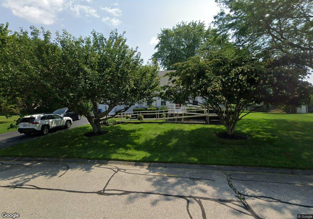
30 Mohawk Dr Seekonk, MA 02771
Estimated Value: $582,885 - $617,000
3
Beds
2
Baths
1,628
Sq Ft
$367/Sq Ft
Est. Value
About This Home
This home is located at 30 Mohawk Dr, Seekonk, MA 02771 and is currently estimated at $597,471, approximately $366 per square foot. 30 Mohawk Dr is a home located in Bristol County with nearby schools including Seekonk High School, Ocean State Montessori School, and St Mary Academy-Bay View.
Ownership History
Date
Name
Owned For
Owner Type
Purchase Details
Closed on
Jul 18, 2014
Sold by
Warner James D and Warner Jean C
Bought by
Warner Jean C
Current Estimated Value
Purchase Details
Closed on
Jan 1, 1984
Bought by
Warner Jean C
Create a Home Valuation Report for This Property
The Home Valuation Report is an in-depth analysis detailing your home's value as well as a comparison with similar homes in the area
Home Values in the Area
Average Home Value in this Area
Purchase History
| Date | Buyer | Sale Price | Title Company |
|---|---|---|---|
| Warner Jean C | -- | -- | |
| Warner Jean C | -- | -- |
Source: Public Records
Mortgage History
| Date | Status | Borrower | Loan Amount |
|---|---|---|---|
| Previous Owner | Warner Jean C | $30,000 | |
| Previous Owner | Warner Jean C | $76,500 | |
| Previous Owner | Warner Jean C | $100,000 | |
| Previous Owner | Warner Jean C | $30,000 |
Source: Public Records
Tax History
| Year | Tax Paid | Tax Assessment Tax Assessment Total Assessment is a certain percentage of the fair market value that is determined by local assessors to be the total taxable value of land and additions on the property. | Land | Improvement |
|---|---|---|---|---|
| 2025 | $5,462 | $442,300 | $172,300 | $270,000 |
| 2024 | $5,250 | $425,100 | $172,300 | $252,800 |
| 2023 | $5,104 | $389,300 | $154,400 | $234,900 |
| 2022 | $4,478 | $356,200 | $154,400 | $201,800 |
| 2021 | $4,478 | $330,000 | $132,200 | $197,800 |
| 2020 | $4,271 | $324,300 | $132,300 | $192,000 |
| 2019 | $4,144 | $317,300 | $132,300 | $185,000 |
| 2018 | $4,130 | $309,400 | $132,300 | $177,100 |
| 2017 | $4,085 | $303,500 | $133,700 | $169,800 |
| 2016 | $4,047 | $301,800 | $133,700 | $168,100 |
| 2015 | $3,506 | $265,000 | $121,400 | $143,600 |
Source: Public Records
Map
Nearby Homes
- 57 Mohawk Dr
- 11 Hawthorne Dr
- 454 Fall River Ave
- 30 Fuller St
- 0 N Wheaton Ave
- 296 Fall River Ave
- 0 Milton St Unit 72633661
- 0 Wheaton Ave
- 106 Wannamoisett Rd
- 205 Providence St Bldr Lot 3
- 203 Providence St Bldr Lot 5
- 26 Callender Ave
- 7 Jill Ct
- 151 Dover Ave
- 29 Ide Ave
- 2 Leigh Ln
- 44 Charles St
- 158 S Rose St
- 67 Wheeler St
- 54 Raymond St
- 41 King Philip Rd
- 42 Mohawk Dr
- 18 Mohawk Dr
- 31 Mohawk Dr
- 51 King Philip Rd
- 45 Mohawk Dr
- 21 King Philip Rd
- 21 Mohawk Dr
- 12 Mohawk Dr
- 42 King Philip Rd
- 32 King Philip Rd
- 30 Canonchet Rd
- 52 King Philip Rd
- 20 Canonchet Rd
- 11 King Philip Rd
- 11 Mohawk Dr
- 22 King Philip Rd
- 10 Canonchet Rd
- 32 Pocahontas Dr
- 66 Mohawk Dr
Your Personal Tour Guide
Ask me questions while you tour the home.