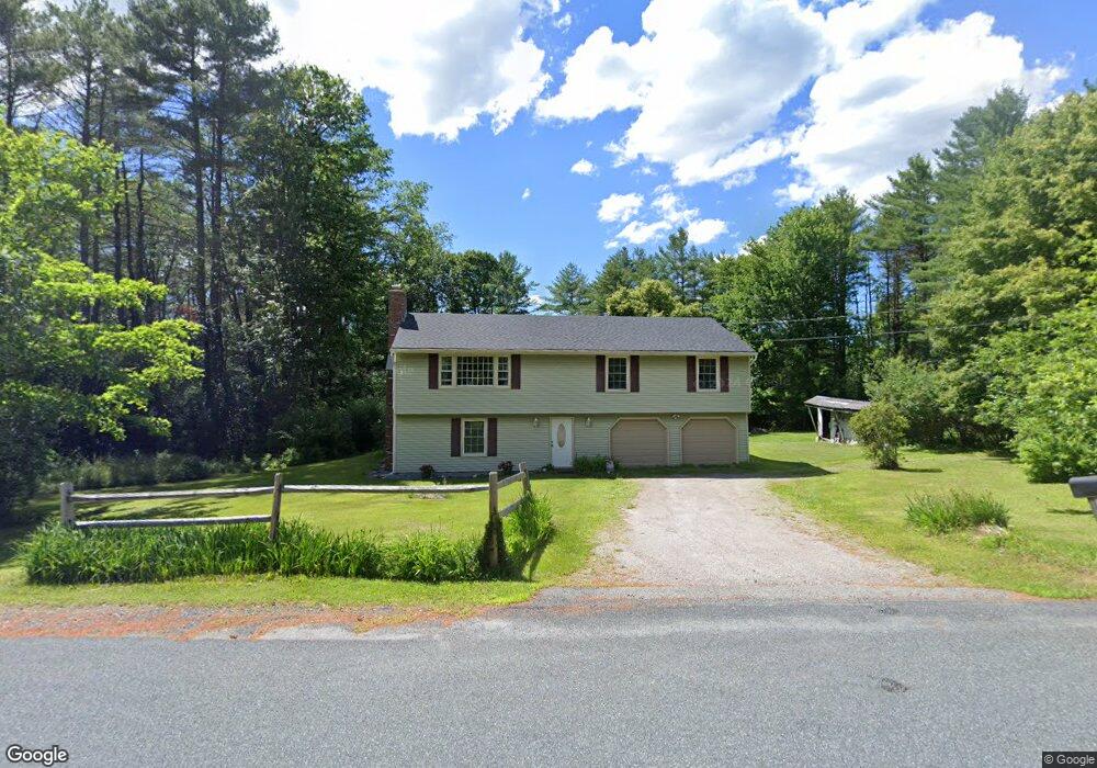
30 Moss Rd Lebanon, NH 03766
Estimated Value: $440,000 - $514,000
3
Beds
2
Baths
1,248
Sq Ft
$373/Sq Ft
Est. Value
About This Home
This home is located at 30 Moss Rd, Lebanon, NH 03766 and is currently estimated at $465,933, approximately $373 per square foot. 30 Moss Rd is a home located in Grafton County with nearby schools including Mt. Lebanon School, Lebanon Middle School, and Lebanon High School.
Ownership History
Date
Name
Owned For
Owner Type
Purchase Details
Closed on
Dec 15, 1998
Sold by
Wallace James M and Wallace Delia A
Bought by
Keane John P and Keane Linda J
Current Estimated Value
Home Financials for this Owner
Home Financials are based on the most recent Mortgage that was taken out on this home.
Original Mortgage
$105,000
Outstanding Balance
$23,892
Interest Rate
6.8%
Estimated Equity
$442,041
Create a Home Valuation Report for This Property
The Home Valuation Report is an in-depth analysis detailing your home's value as well as a comparison with similar homes in the area
Home Values in the Area
Average Home Value in this Area
Purchase History
| Date | Buyer | Sale Price | Title Company |
|---|---|---|---|
| Keane John P | $132,500 | -- |
Source: Public Records
Mortgage History
| Date | Status | Borrower | Loan Amount |
|---|---|---|---|
| Open | Keane John P | $105,000 |
Source: Public Records
Tax History Compared to Growth
Tax History
| Year | Tax Paid | Tax Assessment Tax Assessment Total Assessment is a certain percentage of the fair market value that is determined by local assessors to be the total taxable value of land and additions on the property. | Land | Improvement |
|---|---|---|---|---|
| 2024 | $8,620 | $328,000 | $118,200 | $209,800 |
| 2023 | $7,964 | $328,000 | $118,200 | $209,800 |
| 2022 | $7,557 | $328,000 | $118,200 | $209,800 |
| 2021 | $6,535 | $242,200 | $83,600 | $158,600 |
| 2019 | $6,502 | $214,100 | $86,000 | $128,100 |
| 2018 | $6,363 | $214,100 | $86,000 | $128,100 |
| 2017 | $6,226 | $214,100 | $86,000 | $128,100 |
| 2016 | $6,023 | $214,100 | $86,000 | $128,100 |
| 2015 | $5,912 | $214,100 | $86,000 | $128,100 |
| 2014 | $5,538 | $210,800 | $86,000 | $124,800 |
| 2013 | $5,306 | $208,000 | $77,300 | $130,700 |
Source: Public Records
Map
Nearby Homes
- 266 Poverty Ln Unit 1A
- 15 Old Pine Tree Cemetery Rd
- 00 Willow Brook Rd Unit 5
- 00 Willow Brook Rd
- 204 Mechanic St Unit 12
- 4 Black Bear Ct
- 163 Mascoma St
- 49 Storrs Hill Rd
- 11 Rock Ridge Blvd
- 43 Water St Unit 45
- 94 Dogwood Cir
- 37 Water St
- 29 Mascoma St
- 24 Granite St
- 25 West St
- 3 Maple St
- 0 Meriden Rd Unit 5065034
- 16 Kimball St
- 36-48 S Main St
- 25 Green St
- 31 Moss Rd
- 35 Moss Rd
- 25 Moss Rd
- 11 Deer Run Ln
- 235 Poverty Ln
- 229 Poverty Ln
- 19 Moss Rd
- 41 Moss Rd
- 21 Deer Run Ln
- 21 Deer Run Ln
- 16 Moss Rd
- 9 Stone Hill Rd
- 223 Poverty Ln
- 241 Poverty Ln
- 241 Poverty Ln Unit 6
- 241 Poverty Ln Unit 5
- 241 Poverty Ln Unit 4
- 241 Poverty Ln Unit 3
- 241 Poverty Ln Unit 2
- 241 Poverty Ln Unit 1