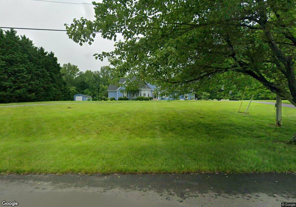
30 Mullen Ln Lothian, MD 20711
Estimated Value: $905,976 - $1,193,000
4
Beds
4
Baths
5,724
Sq Ft
$186/Sq Ft
Est. Value
About This Home
This home is located at 30 Mullen Ln, Lothian, MD 20711 and is currently estimated at $1,065,494, approximately $186 per square foot. 30 Mullen Ln is a home located in Anne Arundel County with nearby schools including Tracey's Elementary School, Southern Middle School, and Southern High School.
Ownership History
Date
Name
Owned For
Owner Type
Purchase Details
Closed on
Mar 20, 2001
Sold by
Robertson Jay W
Bought by
Kelley Michael J and Kelley Linda A
Current Estimated Value
Purchase Details
Closed on
Jun 6, 1991
Sold by
Lords Bounty Ltd Ptnshp
Bought by
Robertson, Jay W
Create a Home Valuation Report for This Property
The Home Valuation Report is an in-depth analysis detailing your home's value as well as a comparison with similar homes in the area
Purchase History
| Date | Buyer | Sale Price | Title Company |
|---|---|---|---|
| Kelley Michael J | $470,000 | -- | |
| Robertson, Jay W | $235,000 | -- |
Source: Public Records
Mortgage History
| Date | Status | Borrower | Loan Amount |
|---|---|---|---|
| Closed | Kelley Michael J | -- |
Source: Public Records
Tax History
| Year | Tax Paid | Tax Assessment Tax Assessment Total Assessment is a certain percentage of the fair market value that is determined by local assessors to be the total taxable value of land and additions on the property. | Land | Improvement |
|---|---|---|---|---|
| 2025 | $6,790 | $748,467 | -- | -- |
| 2024 | $6,790 | $683,733 | $0 | $0 |
| 2023 | $6,566 | $619,000 | $188,400 | $430,600 |
| 2022 | $6,147 | $599,600 | $0 | $0 |
| 2020 | $5,875 | $560,800 | $173,400 | $387,400 |
| 2019 | $5,788 | $560,800 | $173,400 | $387,400 |
| 2018 | $5,687 | $560,800 | $173,400 | $387,400 |
| 2017 | $5,538 | $624,400 | $0 | $0 |
| 2016 | -- | $603,600 | $0 | $0 |
| 2015 | -- | $582,800 | $0 | $0 |
| 2014 | -- | $562,000 | $0 | $0 |
Source: Public Records
Map
Nearby Homes
- 5485 Solomons Island Rd
- 49 Old Solomons Island Rd
- 5534 Nutwell Sudley Rd
- 5967 Brooks Woods Rd
- 106 Valley View Farm Ln
- 5407 Solomons Island Rd
- 350 E Bay Front Rd
- 6009 Franklin Gibson Rd
- 5705 Iron Stone Rd
- 6007 Solomons Island Rd
- 5742 Brooks Woods Rd
- 5707 Iron Stone Rd
- 6095 Solomons Island Rd
- 6061 Drum Point Rd
- 6037 Drum Point Rd
- 703 Trapper Way
- 6281 Franklin Gibson Rd
- 617 Ford Rd
- 5741 Deale Churchton Rd
- 5931 Tyler Rd
Your Personal Tour Guide
Ask me questions while you tour the home.