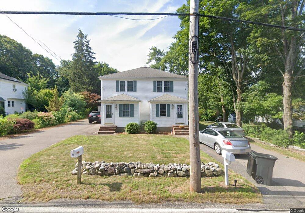
30 Mylod St Walpole, MA 02081
Estimated Value: $674,565 - $863,000
2
Beds
2
Baths
2,088
Sq Ft
$354/Sq Ft
Est. Value
About This Home
This home is located at 30 Mylod St, Walpole, MA 02081 and is currently estimated at $739,641, approximately $354 per square foot. 30 Mylod St is a home located in Norfolk County with nearby schools including Fisher School, Walpole Middle School, and Walpole High School.
Ownership History
Date
Name
Owned For
Owner Type
Purchase Details
Closed on
Oct 31, 2016
Sold by
Skinner Theresa K
Bought by
Cabraldemelo Camilla C
Current Estimated Value
Home Financials for this Owner
Home Financials are based on the most recent Mortgage that was taken out on this home.
Original Mortgage
$308,750
Outstanding Balance
$248,496
Interest Rate
3.5%
Mortgage Type
New Conventional
Estimated Equity
$491,145
Purchase Details
Closed on
Apr 6, 2010
Sold by
Keefe Linda A and Keefe Michael R
Bought by
30 Mylod Street Llc
Purchase Details
Closed on
Jul 13, 2007
Sold by
Davino Frederick A and Davino Michael A
Bought by
Davino Nancy J and Davino Phillip J
Purchase Details
Closed on
Jan 19, 2007
Sold by
Carver John A and Solomon Nicki J
Bought by
Keefe Linda A and Keefe Michael R
Home Financials for this Owner
Home Financials are based on the most recent Mortgage that was taken out on this home.
Original Mortgage
$300,000
Interest Rate
6.14%
Mortgage Type
Purchase Money Mortgage
Create a Home Valuation Report for This Property
The Home Valuation Report is an in-depth analysis detailing your home's value as well as a comparison with similar homes in the area
Home Values in the Area
Average Home Value in this Area
Purchase History
| Date | Buyer | Sale Price | Title Company |
|---|---|---|---|
| Cabraldemelo Camilla C | $325,000 | -- | |
| 30 Mylod Street Llc | -- | -- | |
| Davino Nancy J | $300,000 | -- | |
| Keefe Linda A | $388,000 | -- |
Source: Public Records
Mortgage History
| Date | Status | Borrower | Loan Amount |
|---|---|---|---|
| Open | Cabraldemelo Camilla C | $308,750 | |
| Previous Owner | Keefe Linda A | $300,000 |
Source: Public Records
Tax History Compared to Growth
Tax History
| Year | Tax Paid | Tax Assessment Tax Assessment Total Assessment is a certain percentage of the fair market value that is determined by local assessors to be the total taxable value of land and additions on the property. | Land | Improvement |
|---|---|---|---|---|
| 2025 | $7,661 | $597,100 | $288,300 | $308,800 |
| 2024 | $7,730 | $584,700 | $277,200 | $307,500 |
| 2023 | $7,738 | $557,100 | $241,100 | $316,000 |
| 2022 | $7,208 | $498,500 | $223,200 | $275,300 |
| 2021 | $6,829 | $460,200 | $210,600 | $249,600 |
| 2020 | $6,582 | $439,100 | $198,600 | $240,500 |
| 2019 | $6,042 | $400,100 | $191,000 | $209,100 |
| 2018 | $5,758 | $377,100 | $183,800 | $193,300 |
| 2017 | $5,605 | $365,600 | $176,700 | $188,900 |
| 2016 | $5,342 | $343,300 | $169,900 | $173,400 |
| 2015 | $5,233 | $333,300 | $161,600 | $171,700 |
| 2014 | $5,018 | $318,400 | $161,600 | $156,800 |
Source: Public Records
Map
Nearby Homes
- 22 Coolidge Rd
- 291 Plimpton St
- 66 Gould St
- 7 Washington Green
- 531 Walpole St
- 363 - 367 Washington St
- 20 Rockhill St
- 20 Rockhill St
- 486 Washington St
- 634 Main St Unit 14
- 21 Spear Ave
- 2 Alexandra Way
- 0 Charlotte Rd
- 11 Park Ln
- 70 Endicott St Unit 404
- 70 Endicott St Unit 1306
- 4403 Pennington Dr Unit 4403
- Unit 11 Powder House Ln Unit 11
- 8 Powder House Ln Unit 2
- Unit 12 Powder House Ln Unit 12