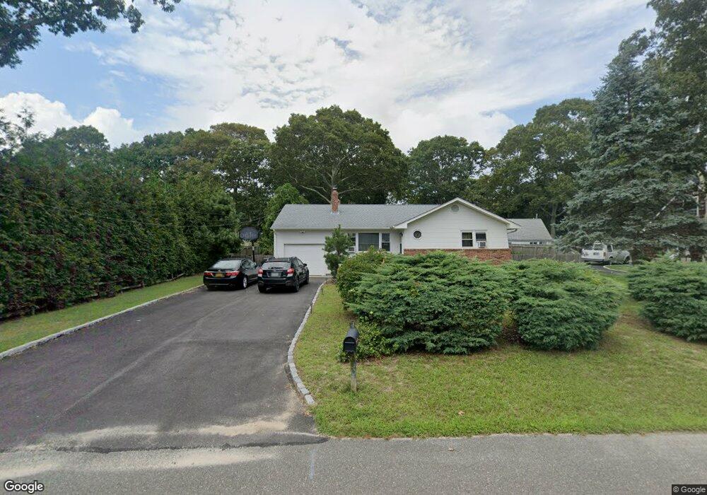
30 Nassau Rd Hampton Bays, NY 11946
Estimated Value: $808,814 - $975,000
3
Beds
1
Bath
1,272
Sq Ft
$675/Sq Ft
Est. Value
About This Home
This home is located at 30 Nassau Rd, Hampton Bays, NY 11946 and is currently estimated at $858,454, approximately $674 per square foot. 30 Nassau Rd is a home located in Suffolk County with nearby schools including Hampton Bays Secondary School, Hampton Bays Elementary School, and Hampton Bays Middle School.
Ownership History
Date
Name
Owned For
Owner Type
Purchase Details
Closed on
Apr 29, 2019
Sold by
Squires Thomas E and Squires Brabara E
Bought by
Squires John
Current Estimated Value
Home Financials for this Owner
Home Financials are based on the most recent Mortgage that was taken out on this home.
Original Mortgage
$120,000
Outstanding Balance
$104,837
Interest Rate
4.3%
Mortgage Type
New Conventional
Estimated Equity
$753,617
Purchase Details
Closed on
Dec 17, 2007
Create a Home Valuation Report for This Property
The Home Valuation Report is an in-depth analysis detailing your home's value as well as a comparison with similar homes in the area
Home Values in the Area
Average Home Value in this Area
Purchase History
| Date | Buyer | Sale Price | Title Company |
|---|---|---|---|
| Squires John | -- | -- | |
| -- | $100,000 | -- | |
| Squires Barbara E | $100,000 | -- |
Source: Public Records
Mortgage History
| Date | Status | Borrower | Loan Amount |
|---|---|---|---|
| Open | Squires John | $120,000 |
Source: Public Records
Tax History Compared to Growth
Tax History
| Year | Tax Paid | Tax Assessment Tax Assessment Total Assessment is a certain percentage of the fair market value that is determined by local assessors to be the total taxable value of land and additions on the property. | Land | Improvement |
|---|---|---|---|---|
| 2024 | -- | $409,900 | $223,200 | $186,700 |
| 2023 | -- | $409,900 | $223,200 | $186,700 |
| 2022 | $5,671 | $476,800 | $290,100 | $186,700 |
| 2021 | $5,671 | $409,900 | $223,200 | $186,700 |
| 2020 | $6,360 | $409,900 | $223,200 | $186,700 |
| 2019 | $6,360 | $0 | $0 | $0 |
| 2018 | -- | $362,200 | $189,700 | $172,500 |
| 2017 | $5,603 | $331,900 | $176,700 | $155,200 |
| 2016 | $5,697 | $331,900 | $176,700 | $155,200 |
| 2015 | -- | $331,900 | $176,700 | $155,200 |
| 2014 | -- | $331,900 | $176,700 | $155,200 |
Source: Public Records
Map
Nearby Homes
- 95 Springville Rd Unit 8
- 13 Ocean Ave
- 35 Suffolk Rd
- 7 Russell Rd
- 90 Springville Rd Unit 14
- 131 Springville Rd
- 10 Argonne Rd W
- 8 Shell Rd
- 10 Shinnecock Ln
- 62 Shore Rd
- 32 Atlantic Ave
- 3A Suffolk Rd
- 58 Ocean Ave
- 51 Shore Rd
- 64 Shore Rd
- 5 B Fanning Ave
- 7 Corwin Ln
- 8 School St
- 9 Fanning Ave
- 7 Fanning Ave
- 32 Nassau Rd
- 26 Nassau Rd
- 29 Nassau Rd
- 24 Nassau Rd
- 25 Nassau Rd
- 51 Argonne Rd W
- 31 Nassau Rd
- 53 Argonne Rd W
- 49 Argonne Rd W
- 87 Springville Rd
- 47 Argonne Rd W
- 22 Nassau Rd
- 23 Nassau Rd Unit A
- 23 Nassau Rd
- 85 Springville Rd
- 85 Springville Rd Unit 19
- 45 Argonne Rd W
- 55 Argonne Rd W
- 20 Nassau Rd
- 95 Springville Rd Unit 28