30 Nobscot Rd Unit 6 Sudbury, MA 01776
Estimated Value: $1,162,331 - $1,487,000
2
Beds
3
Baths
3,451
Sq Ft
$369/Sq Ft
Est. Value
About This Home
This home is located at 30 Nobscot Rd Unit 6, Sudbury, MA 01776 and is currently estimated at $1,273,833, approximately $369 per square foot. 30 Nobscot Rd Unit 6 is a home located in Middlesex County with nearby schools including Israel Loring Elementary School, Ephraim Curtis Middle School, and Lincoln-Sudbury Regional High School.
Ownership History
Date
Name
Owned For
Owner Type
Purchase Details
Closed on
Apr 23, 2018
Sold by
Coutu Rt
Bought by
30 Nobscot Road Unit 6
Current Estimated Value
Purchase Details
Closed on
Mar 23, 2010
Sold by
Coutu Michael J and Coutu Donna King
Bought by
Coutu Tr Michael J
Purchase Details
Closed on
Jan 6, 2009
Sold by
Mahoney Farms Llc
Bought by
Coutu Donna King and Coutu Michael J
Home Financials for this Owner
Home Financials are based on the most recent Mortgage that was taken out on this home.
Original Mortgage
$700,000
Interest Rate
6.08%
Mortgage Type
Purchase Money Mortgage
Create a Home Valuation Report for This Property
The Home Valuation Report is an in-depth analysis detailing your home's value as well as a comparison with similar homes in the area
Home Values in the Area
Average Home Value in this Area
Purchase History
| Date | Buyer | Sale Price | Title Company |
|---|---|---|---|
| 30 Nobscot Road Unit 6 | -- | -- | |
| Coutu Tr Michael J | -- | -- | |
| Coutu Donna King | $895,900 | -- |
Source: Public Records
Mortgage History
| Date | Status | Borrower | Loan Amount |
|---|---|---|---|
| Previous Owner | Coutu Donna King | $700,000 |
Source: Public Records
Tax History Compared to Growth
Tax History
| Year | Tax Paid | Tax Assessment Tax Assessment Total Assessment is a certain percentage of the fair market value that is determined by local assessors to be the total taxable value of land and additions on the property. | Land | Improvement |
|---|---|---|---|---|
| 2025 | $16,171 | $1,104,600 | $0 | $1,104,600 |
| 2024 | $15,535 | $1,063,300 | $0 | $1,063,300 |
| 2023 | $16,076 | $1,019,400 | $0 | $1,019,400 |
| 2022 | $17,012 | $942,500 | $0 | $942,500 |
| 2021 | $17,111 | $908,700 | $0 | $908,700 |
| 2020 | $15,242 | $826,100 | $0 | $826,100 |
| 2019 | $14,795 | $826,100 | $0 | $826,100 |
| 2018 | $13,017 | $726,000 | $0 | $726,000 |
| 2017 | $12,865 | $725,200 | $0 | $725,200 |
| 2016 | $12,909 | $725,200 | $0 | $725,200 |
| 2015 | $12,839 | $729,500 | $0 | $729,500 |
| 2014 | $13,510 | $749,300 | $0 | $749,300 |
Source: Public Records
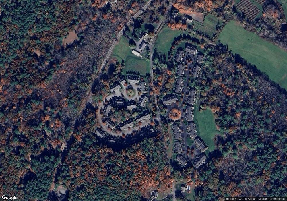
Map
Nearby Homes
- 30 Nobscot Rd Unit 14
- 32 Eaton Rd W
- 128 Nobscot Rd
- 19 Nob Hill Dr
- 91 Eaton Rd W
- 7 Adams Rd
- 24 Woodland Rd
- 14 Eisenhower Rd
- 106 Baldwin Ave
- 50 Juniper Ln
- 41 James St
- 23 Cider Mill Rd
- 1011 Boston Post Rd
- 78 Apple d or Rd
- 27 Sloane Dr
- 40 Gregory Rd
- 0 Robbins Rd
- 0 Boston Post Rd
- 6 Mountain View Dr
- 54 Stone Rd
- 30 Nobscot Rd Unit 31
- 30 Nobscot Rd Unit 22
- 30 Nobscot Rd Unit 29
- 30 Nobscot Rd Unit 28
- 30 Nobscot Rd Unit 20
- 30 Nobscot Rd Unit 19
- 30 Nobscot Rd Unit 18
- 30 Nobscot Rd Unit 17
- 30 Nobscot Rd Unit 16
- 30 Nobscot Rd Unit 15
- 30 Nobscot Rd Unit 13
- 30 Nobscot Rd Unit 12
- 30 Nobscot Rd Unit 11
- 30 Nobscot Rd Unit 8
- 30 Nobscot Rd Unit 7
- 30 Nobscot Rd Unit 5
- 30 Nobscot Rd Unit 4
- 30 Nobscot Rd Unit 3
- 30 Nobscot Rd Unit 2
- 30 Nobscot Rd Unit 1