30 NW 565th Rd Warrensburg, MO 64093
Estimated Value: $409,000 - $728,626
4
Beds
4
Baths
2,988
Sq Ft
$199/Sq Ft
Est. Value
About This Home
This home is located at 30 NW 565th Rd, Warrensburg, MO 64093 and is currently estimated at $593,157, approximately $198 per square foot. 30 NW 565th Rd is a home located in Johnson County with nearby schools including Ridge View Elementary School, Sterling Elementary School, and Warrensburg Middle School.
Ownership History
Date
Name
Owned For
Owner Type
Purchase Details
Closed on
Oct 9, 2018
Sold by
Montalbano Andrew and Montalbano Amanda
Bought by
Reed Brian E and Hasenbank Deborah A
Current Estimated Value
Purchase Details
Closed on
Aug 29, 2013
Sold by
Hazel Hill Construction L L C
Bought by
Montalbano Andrew and Montalbano Amanda
Home Financials for this Owner
Home Financials are based on the most recent Mortgage that was taken out on this home.
Original Mortgage
$341,000
Interest Rate
2.75%
Mortgage Type
Adjustable Rate Mortgage/ARM
Create a Home Valuation Report for This Property
The Home Valuation Report is an in-depth analysis detailing your home's value as well as a comparison with similar homes in the area
Home Values in the Area
Average Home Value in this Area
Purchase History
| Date | Buyer | Sale Price | Title Company |
|---|---|---|---|
| Reed Brian E | -- | Western Missouri Title Co | |
| Montalbano Andrew | -- | Western Missouri Title Co |
Source: Public Records
Mortgage History
| Date | Status | Borrower | Loan Amount |
|---|---|---|---|
| Previous Owner | Montalbano Andrew | $341,000 |
Source: Public Records
Tax History Compared to Growth
Tax History
| Year | Tax Paid | Tax Assessment Tax Assessment Total Assessment is a certain percentage of the fair market value that is determined by local assessors to be the total taxable value of land and additions on the property. | Land | Improvement |
|---|---|---|---|---|
| 2024 | $4,020 | $55,189 | $0 | $0 |
| 2023 | $4,020 | $55,189 | $0 | $0 |
| 2022 | $3,899 | $53,285 | $0 | $0 |
| 2021 | $3,885 | $53,285 | $0 | $0 |
| 2020 | $3,793 | $51,376 | $0 | $0 |
| 2019 | $3,466 | $46,991 | $0 | $0 |
| 2017 | $3,169 | $44,749 | $0 | $0 |
| 2016 | $3,161 | $44,749 | $0 | $0 |
| 2015 | $3,072 | $42,235 | $0 | $0 |
| 2014 | $30 | $42,235 | $0 | $0 |
Source: Public Records
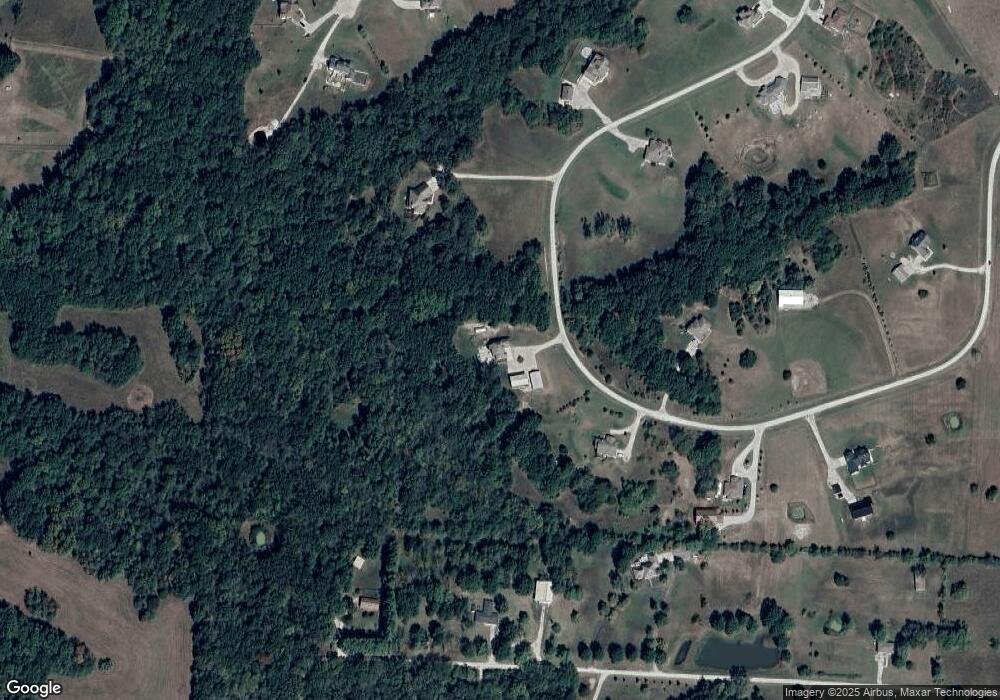
Map
Nearby Homes
- 52 NW 485th Rd
- 537 NE State Route 13
- 630 NW Oo Hwy
- 21 SE 230th Rd
- 371 NW 21st Rd
- 116 NE 21st Rd
- 315 NE 51st Rd
- 361 NE 51st Rd
- 320 NE 51st Rd
- 318 NE 51st Rd
- 316 NE 51st Rd
- lot 15 NE 51st Rd
- lot 14 NE 51st Rd
- lot 13 NE 51st Rd
- lot 12 NE 51st Rd
- lot 11 NE 51st Rd
- 215 NW 415th Rd
- 241 Missouri 13
- lot 10 NE 51st Rd
- lot 9 NE 51st Rd