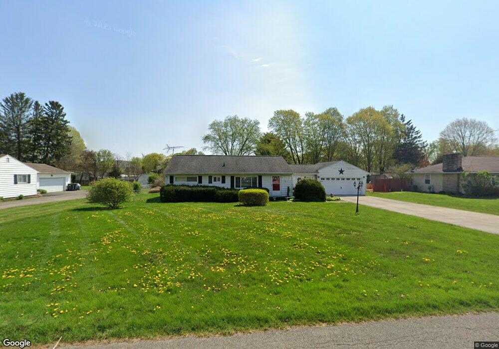
30 Oregon Ave Newark, OH 43055
Estimated Value: $255,000 - $281,000
3
Beds
2
Baths
1,209
Sq Ft
$219/Sq Ft
Est. Value
About This Home
This home is located at 30 Oregon Ave, Newark, OH 43055 and is currently estimated at $264,228, approximately $218 per square foot. 30 Oregon Ave is a home located in Licking County with nearby schools including Utica High School and St. Francis DeSales School.
Ownership History
Date
Name
Owned For
Owner Type
Purchase Details
Closed on
Jul 24, 2020
Sold by
Ford Lowell P and Ford Odessa R
Bought by
Brammer Luanna Sue and Ford Brett Sterling
Current Estimated Value
Purchase Details
Closed on
Dec 10, 2014
Sold by
Equity Trust Co
Bought by
Ford Lowell P and Ford Odessa R
Home Financials for this Owner
Home Financials are based on the most recent Mortgage that was taken out on this home.
Original Mortgage
$120,765
Outstanding Balance
$92,231
Interest Rate
3.84%
Mortgage Type
New Conventional
Estimated Equity
$171,997
Purchase Details
Closed on
Sep 23, 2013
Sold by
Williams Charles F and Davis Sandra W
Bought by
Equity Trust Co and John E Neibarger Ira
Purchase Details
Closed on
Apr 3, 2013
Sold by
Williams Dorothy M
Bought by
Williams Dorothy M and Dorothy M Williams Revocable Trust
Create a Home Valuation Report for This Property
The Home Valuation Report is an in-depth analysis detailing your home's value as well as a comparison with similar homes in the area
Purchase History
| Date | Buyer | Sale Price | Title Company |
|---|---|---|---|
| Brammer Luanna Sue | -- | None Available | |
| Ford Lowell P | $177,600 | Ohio Title | |
| Equity Trust Co | $1,048,500 | Bxohio Title | |
| Williams Dorothy M | -- | None Available |
Source: Public Records
Mortgage History
| Date | Status | Borrower | Loan Amount |
|---|---|---|---|
| Open | Ford Lowell P | $120,765 |
Source: Public Records
Tax History
| Year | Tax Paid | Tax Assessment Tax Assessment Total Assessment is a certain percentage of the fair market value that is determined by local assessors to be the total taxable value of land and additions on the property. | Land | Improvement |
|---|---|---|---|---|
| 2024 | $1,563 | $54,120 | $20,410 | $33,710 |
| 2023 | $1,586 | $54,120 | $20,410 | $33,710 |
| 2022 | $1,787 | $45,680 | $12,740 | $32,940 |
| 2021 | $1,824 | $45,680 | $12,740 | $32,940 |
| 2020 | $1,719 | $45,680 | $12,740 | $32,940 |
| 2019 | $1,429 | $35,530 | $10,190 | $25,340 |
| 2018 | $1,436 | $0 | $0 | $0 |
| 2017 | $1,465 | $0 | $0 | $0 |
| 2016 | $1,437 | $0 | $0 | $0 |
| 2015 | $1,424 | $0 | $0 | $0 |
| 2014 | $726 | $0 | $0 | $0 |
| 2013 | $1,061 | $0 | $0 | $0 |
Source: Public Records
Map
Nearby Homes
- 210 Dry Creek Rd
- 93 N Utah Ave
- 116 Dry Creek Rd
- 1953 Iselin St Unit 150
- 1956 Jamesburg St
- 1972 Jamesburg St
- 1964 Jamesburg St
- 1960 Jamesburg St
- 5400 Chestnut Hills Rd NE
- 1984 Jamesburg St
- 1980 Jamesburg St
- 1954 Iselin St
- 301 N Vernon Ave
- 2347 W Audrey Dr
- 1821 Mount Vernon Rd
- 1517 S Hunters Dr
- 2363 Turnberry Ct
- 1860 Churchill Downs Rd
- 1397 Bristol Downs Rd
- 0 Burch Dr NE
Your Personal Tour Guide
Ask me questions while you tour the home.