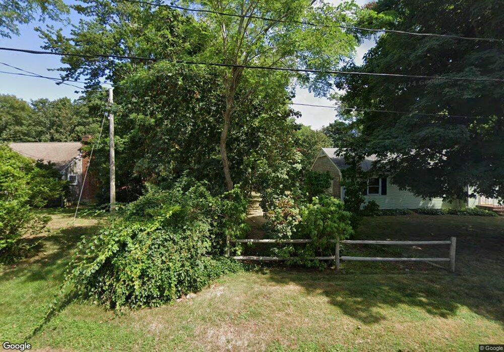
30 Point of Rocks Rd Brewster, MA 02631
Estimated Value: $410,000 - $803,000
3
Beds
2
Baths
650
Sq Ft
$1,030/Sq Ft
Est. Value
About This Home
This home is located at 30 Point of Rocks Rd, Brewster, MA 02631 and is currently estimated at $669,641, approximately $1,030 per square foot. 30 Point of Rocks Rd is a home located in Barnstable County with nearby schools including Stony Brook Elementary School, Eddy Elementary School, and Nauset Regional Middle School.
Ownership History
Date
Name
Owned For
Owner Type
Purchase Details
Closed on
Aug 28, 1998
Sold by
Mccracken Terrence E
Bought by
Altieri Louis A and Altieri Kathleen M
Current Estimated Value
Home Financials for this Owner
Home Financials are based on the most recent Mortgage that was taken out on this home.
Original Mortgage
$110,000
Outstanding Balance
$23,497
Interest Rate
6.9%
Mortgage Type
Purchase Money Mortgage
Estimated Equity
$646,144
Purchase Details
Closed on
Apr 27, 1998
Sold by
Mccracken Edmund V
Bought by
Mccracken Terrence E and Mccracken Patricia E
Create a Home Valuation Report for This Property
The Home Valuation Report is an in-depth analysis detailing your home's value as well as a comparison with similar homes in the area
Home Values in the Area
Average Home Value in this Area
Purchase History
| Date | Buyer | Sale Price | Title Company |
|---|---|---|---|
| Altieri Louis A | $150,000 | -- | |
| Mccracken Terrence E | $13,340 | -- |
Source: Public Records
Mortgage History
| Date | Status | Borrower | Loan Amount |
|---|---|---|---|
| Open | Mccracken Terrence E | $110,000 |
Source: Public Records
Tax History Compared to Growth
Tax History
| Year | Tax Paid | Tax Assessment Tax Assessment Total Assessment is a certain percentage of the fair market value that is determined by local assessors to be the total taxable value of land and additions on the property. | Land | Improvement |
|---|---|---|---|---|
| 2025 | $4,316 | $627,300 | $463,800 | $163,500 |
| 2024 | $4,032 | $592,000 | $437,500 | $154,500 |
| 2023 | $3,697 | $528,900 | $390,600 | $138,300 |
| 2022 | $3,463 | $441,200 | $325,400 | $115,800 |
| 2021 | $3,043 | $354,700 | $253,100 | $101,600 |
| 2020 | $3,010 | $349,200 | $253,100 | $96,100 |
| 2019 | $1,948 | $336,200 | $243,500 | $92,700 |
| 2018 | $2,746 | $332,500 | $243,500 | $89,000 |
| 2017 | $1,723 | $321,100 | $243,500 | $77,600 |
| 2016 | $2,653 | $314,700 | $238,700 | $76,000 |
| 2015 | $2,547 | $308,300 | $234,000 | $74,300 |
Source: Public Records
Map
Nearby Homes
- 20 Skipjack Way
- 104 Sachemus Trail Unit 104
- 42 Landing Ln Unit 42
- 85 Yankee Dr
- 126 Bittersweet Dr
- 46 Court Way
- 1861 Main St
- 28 Middlecott Ln
- 82 Middlecott Ln
- 105 Middlecott Ln Unit 105
- 43 Billington Ln
- 43 Billington Ln Unit 43
- 11 Juniper Cir
- 277 Lund Farm Way
- 195 Ellis Landing Rd
- 410 Blueberry Pond Dr
- 41 Great Oak Rd
- 60 Fletcher Ln Unit H
- 60 Fletcher Ln Unit C
- 61 Fletcher Ln Unit H
- 2271 Main St
- 2257 Main St
- 36 Point of Rocks Rd
- 24 Point of Rocks Rd
- 2299 Main St
- 58 Point of Rocks Rd
- 31 Point of Rocks Rd
- 29 Skipjack Way
- 15 Skipjack Way
- 2221 Main St
- 39 Skipjack Way
- 1 Skipjack Way
- 2311 Main St
- 53 Point of Rocks Rd
- 63 Point of Rocks Rd
- 78 Point of Rocks Rd
- 2207 Main St
- 26 Cathedral Rd
- 0 Skipjack Way
- 75 Point of Rocks Rd