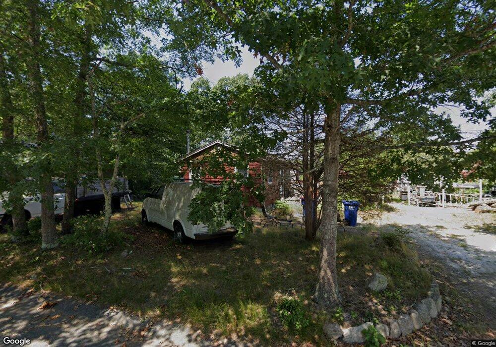
30 Regent Ave Wareham, MA 02571
Estimated Value: $256,000 - $352,000
1
Bed
1
Bath
576
Sq Ft
$549/Sq Ft
Est. Value
About This Home
This home is located at 30 Regent Ave, Wareham, MA 02571 and is currently estimated at $316,281, approximately $549 per square foot. 30 Regent Ave is a home located in Plymouth County.
Ownership History
Date
Name
Owned For
Owner Type
Purchase Details
Closed on
Jan 14, 2011
Sold by
Fhlmc
Bought by
Dastous Roland L
Current Estimated Value
Purchase Details
Closed on
May 18, 2010
Sold by
Connolly Jeanne E and Bac Home Loans Svcng L
Bought by
Fhlmc
Purchase Details
Closed on
Dec 7, 2005
Sold by
Mccormack Thomas L and Labbe Ann M
Bought by
Connolly Jeanne E
Home Financials for this Owner
Home Financials are based on the most recent Mortgage that was taken out on this home.
Original Mortgage
$128,000
Interest Rate
6.17%
Mortgage Type
Purchase Money Mortgage
Create a Home Valuation Report for This Property
The Home Valuation Report is an in-depth analysis detailing your home's value as well as a comparison with similar homes in the area
Purchase History
| Date | Buyer | Sale Price | Title Company |
|---|---|---|---|
| Dastous Roland L | -- | -- | |
| Dastous Roland L | -- | -- | |
| Fhlmc | $145,499 | -- | |
| Fhlmc | $145,499 | -- | |
| Connolly Jeanne E | $160,000 | -- | |
| Connolly Jeanne E | $160,000 | -- |
Source: Public Records
Mortgage History
| Date | Status | Borrower | Loan Amount |
|---|---|---|---|
| Previous Owner | Connolly Jeanne E | $128,000 | |
| Previous Owner | Connolly Jeanne E | $16,000 |
Source: Public Records
Tax History
| Year | Tax Paid | Tax Assessment Tax Assessment Total Assessment is a certain percentage of the fair market value that is determined by local assessors to be the total taxable value of land and additions on the property. | Land | Improvement |
|---|---|---|---|---|
| 2025 | $2,361 | $226,600 | $109,800 | $116,800 |
| 2024 | $1,854 | $165,100 | $85,800 | $79,300 |
| 2023 | $1,644 | $150,200 | $78,000 | $72,200 |
| 2022 | $1,644 | $124,700 | $78,000 | $46,700 |
| 2021 | $1,446 | $107,500 | $78,000 | $29,500 |
| 2020 | $1,425 | $107,500 | $78,000 | $29,500 |
| 2019 | $1,324 | $99,600 | $75,100 | $24,500 |
| 2018 | $1,358 | $99,600 | $75,100 | $24,500 |
| 2017 | $1,340 | $99,600 | $75,100 | $24,500 |
| 2016 | $1,407 | $104,000 | $72,600 | $31,400 |
| 2015 | $1,359 | $104,000 | $72,600 | $31,400 |
| 2014 | $1,431 | $111,400 | $69,000 | $42,400 |
Source: Public Records
Map
Nearby Homes
- 91 Agawam Lake Shore Dr
- 3 Michael Dr
- 9 Old Glen Charlie Rd
- 2838 Cranberry Hwy
- 2900 Cranberry Hwy Unit 17
- 7 Knowles Ave
- 8 Alfred St
- 4 Joseph St
- 20 Madeline St
- 12 Linwood Ave
- 4 Francis St
- 14 Joseph St
- 16 Francis St
- 124 Minot Ave Unit 1
- 2743 Cranberry Hwy Unit 5D
- 156 Sandwich Rd
- 3030 Cranberry Hwy Unit 11
- 3040 Cranberry Hwy Unit 41
- 3040 Cranberry Hwy Unit 16
- 3040 Cranberry Hwy Unit 32
- 26 Regent Ave
- 27 Regina St
- 69 Maple Springs Rd
- 70 Lake Shore Dr
- 17 Regent Ave
- 17 Regent Ave Unit House
- 75 Maple Springs Rd
- 65 Maple Springs Rd
- 52 Regent Ave
- 46 Agawam Lake Shore Dr
- 11 Regent Ave
- 11 Regent Ave Unit 2
- 44 Agawam Lake Shore Dr
- 61 Maple Springs Rd
- 56 Shore Ave
- 77 Agawam Lake Shore Dr
- 79 Agawam Lake Shore Dr
- 77 Lake Shore Dr
- 83 Agawam Lake Shore Dr
- 85 Agawam Lake Shore Dr
Your Personal Tour Guide
Ask me questions while you tour the home.