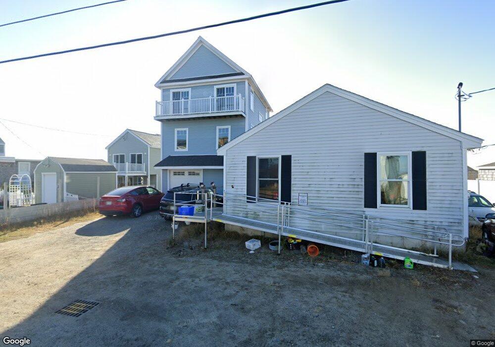
30 River St Seabrook, NH 03874
Seabrook Beach NeighborhoodEstimated Value: $776,000 - $1,016,000
3
Beds
2
Baths
1,320
Sq Ft
$651/Sq Ft
Est. Value
About This Home
This home is located at 30 River St, Seabrook, NH 03874 and is currently estimated at $858,816, approximately $650 per square foot. 30 River St is a home located in Rockingham County with nearby schools including Seabrook Elementary School, Seabrook Middle School, and Winnacunnet High School.
Ownership History
Date
Name
Owned For
Owner Type
Purchase Details
Closed on
Apr 2, 2019
Sold by
Ns Homestead Nt
Bought by
Good Samaritan Realty Llc
Current Estimated Value
Purchase Details
Closed on
Oct 9, 2014
Sold by
Souther 3Rd Furmer H and Souther Mary E
Bought by
Ns Homestead Nt
Purchase Details
Closed on
Mar 16, 2012
Sold by
Welch Doneen A
Bought by
Souther Furmer H and Souther Mary E
Create a Home Valuation Report for This Property
The Home Valuation Report is an in-depth analysis detailing your home's value as well as a comparison with similar homes in the area
Home Values in the Area
Average Home Value in this Area
Purchase History
| Date | Buyer | Sale Price | Title Company |
|---|---|---|---|
| Good Samaritan Realty Llc | -- | -- | |
| Ns Homestead Nt | -- | -- | |
| Souther Furmer H | $65,000 | -- |
Source: Public Records
Mortgage History
| Date | Status | Borrower | Loan Amount |
|---|---|---|---|
| Previous Owner | Souther Furmer H | $200,000 |
Source: Public Records
Tax History Compared to Growth
Tax History
| Year | Tax Paid | Tax Assessment Tax Assessment Total Assessment is a certain percentage of the fair market value that is determined by local assessors to be the total taxable value of land and additions on the property. | Land | Improvement |
|---|---|---|---|---|
| 2024 | $6,345 | $541,400 | $314,300 | $227,100 |
| 2023 | $6,394 | $423,700 | $236,100 | $187,600 |
| 2022 | $5,614 | $423,700 | $236,100 | $187,600 |
| 2021 | $5,817 | $423,700 | $236,100 | $187,600 |
| 2020 | $5,368 | $336,100 | $189,900 | $146,200 |
| 2019 | $5,070 | $321,900 | $175,700 | $146,200 |
| 2018 | $8,748 | $305,600 | $159,400 | $146,200 |
| 2017 | $4,191 | $257,900 | $111,700 | $146,200 |
| 2016 | $3,814 | $257,900 | $111,700 | $146,200 |
| 2015 | $3,365 | $227,500 | $104,700 | $122,800 |
| 2014 | $3,474 | $227,500 | $104,700 | $122,800 |
| 2013 | $1,800 | $117,900 | $104,700 | $13,200 |
Source: Public Records
Map
Nearby Homes
- 18 River St
- 376 Ocean Blvd
- 27 Cross Beach Rd
- 9 Tyngsboro St
- 8 Portsmouth Ave
- 387 Ocean Blvd
- 308 State Route 286 Unit Lot 73
- 308 State Route 286 Unit Lot 108
- 308 State Route 286 Unit Lot 87
- 13-15 Ocean Blvd
- 13 Ocean Blvd
- 15 Ocean Blvd
- 595 N End Blvd Unit 2
- 3 Harris Ave
- 5 Fellows Ave
- 19 Riverview Terrace
- 13 Riverview Terrace Unit B
- 308 Route 286 Unit 77
- 308 Route 286 Unit Lot 58
- 10 Haverhill Ave Unit 1