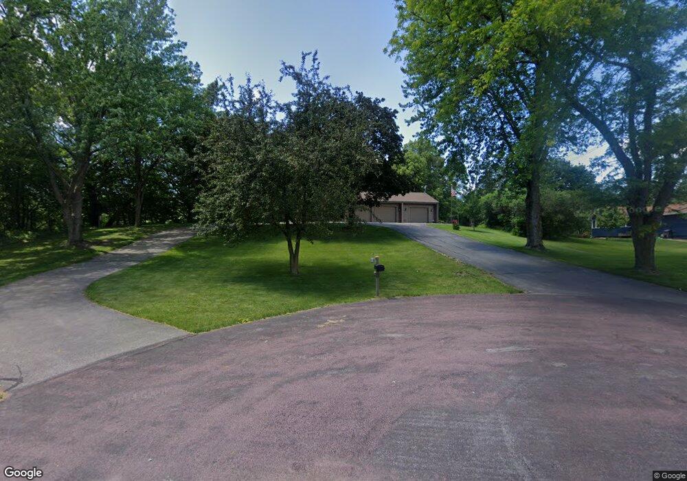
30 S Pilot Ct Mankato, MN 56001
Rasmussen Park NeighborhoodEstimated Value: $410,691 - $478,000
4
Beds
4
Baths
2,228
Sq Ft
$203/Sq Ft
Est. Value
About This Home
This home is located at 30 S Pilot Ct, Mankato, MN 56001 and is currently estimated at $451,423, approximately $202 per square foot. 30 S Pilot Ct is a home located in Blue Earth County with nearby schools including Jefferson Elementary School, Dakota Meadows Middle School, and Mankato West Senior High School.
Create a Home Valuation Report for This Property
The Home Valuation Report is an in-depth analysis detailing your home's value as well as a comparison with similar homes in the area
Home Values in the Area
Average Home Value in this Area
Tax History
| Year | Tax Paid | Tax Assessment Tax Assessment Total Assessment is a certain percentage of the fair market value that is determined by local assessors to be the total taxable value of land and additions on the property. | Land | Improvement |
|---|---|---|---|---|
| 2025 | $4,970 | $446,400 | $60,300 | $386,100 |
| 2024 | $4,970 | $443,700 | $60,300 | $383,400 |
| 2023 | $4,874 | $443,900 | $60,300 | $383,600 |
| 2022 | $4,232 | $416,000 | $60,300 | $355,700 |
| 2021 | $4,066 | $338,900 | $60,300 | $278,600 |
| 2020 | $4,254 | $338,400 | $50,300 | $288,100 |
| 2019 | $3,972 | $338,400 | $50,300 | $288,100 |
| 2018 | $3,600 | $317,100 | $50,300 | $266,800 |
| 2017 | $3,118 | $291,300 | $50,300 | $241,000 |
Source: Public Records
Map
Nearby Homes
- 27 Capri Dr
- 0 Applewood Ct
- 300 Viking Dr
- 0 Tbd South Brook Way
- TBD S Brook Way
- 216 S Brook Cir
- 108 Ella Ct
- 113 Sunburst Cir
- TBD Woodridge
- 338 James Ave
- 2 A Madison Ave
- 145 S Skyline Dr
- 436 W Hudson Ave
- TBD Saratoga
- 225 Oak Knoll Blvd
- 232 W Skyline Ct
- 315 Floral Ave
- 107 Ridge Ct
- 212 Thayer Ave
- 16 Bruce Ct
Your Personal Tour Guide
Ask me questions while you tour the home.