30 Sandy Beach Rd Holderness, NH 03245
Estimated Value: $3,273,000 - $4,596,316
6
Beds
4
Baths
4,154
Sq Ft
$947/Sq Ft
Est. Value
About This Home
This home is located at 30 Sandy Beach Rd, Holderness, NH 03245 and is currently estimated at $3,934,658, approximately $947 per square foot. 30 Sandy Beach Rd is a home with nearby schools including Holderness Central School and Plymouth Regional High School.
Ownership History
Date
Name
Owned For
Owner Type
Purchase Details
Closed on
Sep 13, 2019
Sold by
M A Harris Livens Ret
Bought by
Melovas Lane Llc
Current Estimated Value
Purchase Details
Closed on
May 15, 2017
Sold by
Harris-Livens Mary A
Bought by
M A Harris Livens Ret
Create a Home Valuation Report for This Property
The Home Valuation Report is an in-depth analysis detailing your home's value as well as a comparison with similar homes in the area
Home Values in the Area
Average Home Value in this Area
Purchase History
| Date | Buyer | Sale Price | Title Company |
|---|---|---|---|
| Melovas Lane Llc | -- | -- | |
| M A Harris Livens Ret | -- | -- | |
| M A Harris Livens Ret | -- | -- |
Source: Public Records
Tax History Compared to Growth
Tax History
| Year | Tax Paid | Tax Assessment Tax Assessment Total Assessment is a certain percentage of the fair market value that is determined by local assessors to be the total taxable value of land and additions on the property. | Land | Improvement |
|---|---|---|---|---|
| 2024 | $44,985 | $5,200,600 | $4,363,100 | $837,500 |
| 2023 | $44,673 | $5,200,600 | $4,363,100 | $837,500 |
| 2022 | $35,241 | $3,140,900 | $2,538,600 | $602,300 |
| 2021 | $35,524 | $3,140,900 | $2,538,600 | $602,300 |
| 2020 | $51,384 | $3,783,800 | $3,353,200 | $430,600 |
| 2019 | $55,222 | $4,193,000 | $3,762,400 | $430,600 |
| 2018 | $53,964 | $4,193,000 | $3,762,400 | $430,600 |
| 2017 | $51,660 | $3,643,160 | $3,251,960 | $391,200 |
| 2016 | $51,660 | $3,643,160 | $3,251,960 | $391,200 |
| 2015 | $51,657 | $3,642,960 | $3,251,960 | $391,000 |
| 2014 | $49,947 | $3,473,370 | $3,106,470 | $366,900 |
| 2011 | $42,390 | $3,221,150 | $2,863,350 | $357,800 |
Source: Public Records
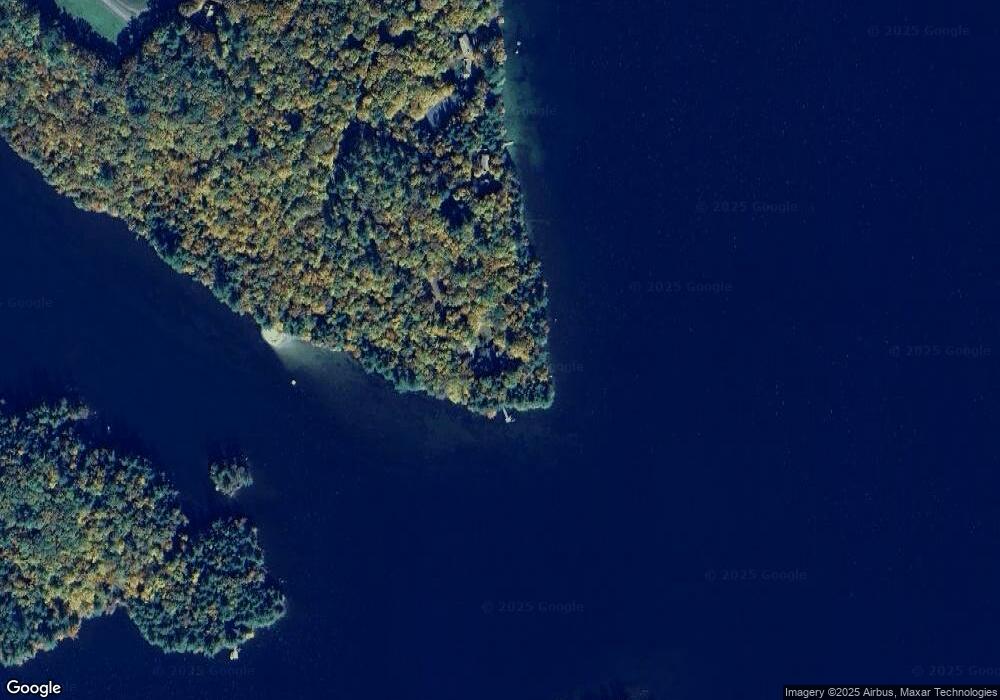
Map
Nearby Homes
- 28 Potato Island
- 388 Perch Pond Rd
- 224 Beede Rd
- 73 Maple Ridge Rd
- 46 Laurel Island Ln
- 206 High Country Way Unit (aka Unit 100)
- 265 High Country Way
- 53 Bay Dr
- 88 Perch Pond Rd
- 30 Westwind Shores Rd Unit 30
- 7 Hollows Rd
- 14 Overlook Rd
- 11 Sebec Rd
- 4 Hilltop Dr
- 373 New Hampshire Route 175
- 283 River St
- 2 Prescott Rd
- 00 Hicks Hill Rd
- 12 Peaked Hill Rd
- 8 Avery Rd
- 78 Loon Rock Rd
- 63 Loon Rock Rd
- 43 Loon Rock Rd
- 60 Algonquin Point Rd
- 58 Algonquin Point Rd
- 61 Algonquin Point Rd
- 2 Carnes Island
- 0 New Hampshire 113
- Lot 7 New Hampshire 113
- Route New Hampshire 113 Unit 2
- 21 Addendum Dr
- 30 Laurence Rd
- 193 Route 113
- 5 Red Lodge Rd
- 110 Algonquin Point Rd
- 787 Nh Route 113
- 90 Algonquin Point Rd
- 19 Red Lodge Rd
- 92 Burleigh Farm Rd
- 30 Red Lodge Rd