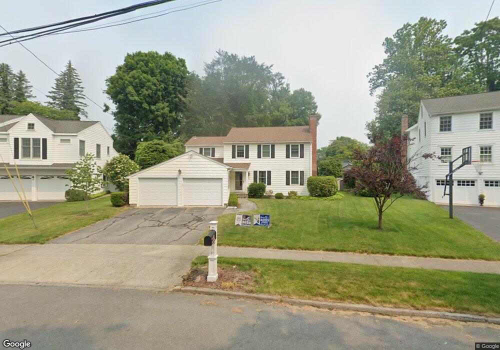
30 Shadowood Rd Fairfield, CT 06824
University NeighborhoodEstimated Value: $1,169,000 - $1,362,000
4
Beds
3
Baths
2,200
Sq Ft
$583/Sq Ft
Est. Value
About This Home
This home is located at 30 Shadowood Rd, Fairfield, CT 06824 and is currently estimated at $1,283,224, approximately $583 per square foot. 30 Shadowood Rd is a home located in Fairfield County with nearby schools including Riverfield Elementary School, Roger Ludlowe Middle School, and Fairfield Ludlowe High School.
Ownership History
Date
Name
Owned For
Owner Type
Purchase Details
Closed on
Dec 9, 2010
Sold by
Otoole Thomas P and Otoole Raymonde J
Bought by
Langus Aviv and Langus Nicole
Current Estimated Value
Home Financials for this Owner
Home Financials are based on the most recent Mortgage that was taken out on this home.
Original Mortgage
$250,000
Interest Rate
4.24%
Create a Home Valuation Report for This Property
The Home Valuation Report is an in-depth analysis detailing your home's value as well as a comparison with similar homes in the area
Home Values in the Area
Average Home Value in this Area
Purchase History
| Date | Buyer | Sale Price | Title Company |
|---|---|---|---|
| Langus Aviv | $680,000 | -- | |
| Langus Aviv | $680,000 | -- |
Source: Public Records
Mortgage History
| Date | Status | Borrower | Loan Amount |
|---|---|---|---|
| Open | Langus Aviv | $300,000 | |
| Closed | Langus Aviv | $243,000 | |
| Closed | Langus Aviv | $250,000 |
Source: Public Records
Tax History
| Year | Tax Paid | Tax Assessment Tax Assessment Total Assessment is a certain percentage of the fair market value that is determined by local assessors to be the total taxable value of land and additions on the property. | Land | Improvement |
|---|---|---|---|---|
| 2025 | $12,442 | $438,270 | $266,910 | $171,360 |
| 2024 | $12,228 | $438,270 | $266,910 | $171,360 |
| 2023 | $12,057 | $438,270 | $266,910 | $171,360 |
| 2022 | $11,736 | $430,850 | $266,910 | $163,940 |
| 2021 | $4,694 | $430,850 | $266,910 | $163,940 |
| 2020 | $11,933 | $445,410 | $264,110 | $181,300 |
| 2019 | $11,933 | $445,410 | $264,110 | $181,300 |
| 2018 | $11,741 | $445,410 | $264,110 | $181,300 |
| 2017 | $4,733 | $445,410 | $264,110 | $181,300 |
| 2016 | $11,336 | $445,410 | $264,110 | $181,300 |
| 2015 | $10,863 | $438,200 | $277,970 | $160,230 |
| 2014 | $10,692 | $438,200 | $277,970 | $160,230 |
Source: Public Records
Map
Nearby Homes
- 1353 Mill Plain Rd
- 1091 Round Hill Rd
- 360 Duck Farm Rd
- 148 Millspaugh Dr
- 218 Lower Farm Rd
- 1478 Jennings Rd
- 42 Robin Cir
- 341 Crestwood Rd
- 196 Robin Ln
- 20 Ermine St
- 15 Barton Rd
- 68 Figlar Ave
- 359 Reid St
- 164 Wakeman Rd
- 245 Reid St
- 70 Meadow Ridge Rd
- 647 Bronson Rd
- 54 Ridgedale Rd
- 11 Tuckahoe Ln
- 77 Meadowbrook Rd
- 40 Shadowood Rd
- 20 Shadowood Rd
- 58 Shadowood Rd
- 35 Shadowood Rd
- 1405 Round Hill Rd
- 115 Charter Oak Rd
- 1433 Round Hill Rd
- 70 Shadowood Rd
- 53 Shadowood Rd
- 1404 Round Hill Rd
- 15 Limerick Rd
- 42 Limerick Rd
- 1465 Round Hill Rd
- 120 Charter Oak Rd
- 37 Limerick Rd
- 65 Shadowood Rd
- 1442 Round Hill Rd
- 86 Shadowood Rd
- 70 Limerick Rd
- 1420 Round Hill Rd
Your Personal Tour Guide
Ask me questions while you tour the home.