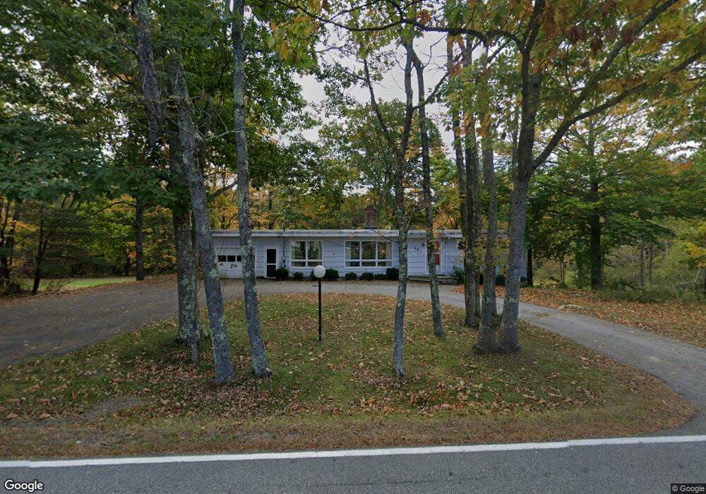
30 Simpson Rd Saco, ME 04072
North Saco NeighborhoodEstimated Value: $204,000 - $767,000
2
Beds
2
Baths
1,368
Sq Ft
$355/Sq Ft
Est. Value
About This Home
This home is located at 30 Simpson Rd, Saco, ME 04072 and is currently estimated at $485,198, approximately $354 per square foot. 30 Simpson Rd is a home located in York County with nearby schools including C K Burns School and Saco Middle School.
Ownership History
Date
Name
Owned For
Owner Type
Purchase Details
Closed on
Oct 6, 2025
Sold by
Allen Joanne R
Bought by
Plummer Benjamin
Current Estimated Value
Home Financials for this Owner
Home Financials are based on the most recent Mortgage that was taken out on this home.
Original Mortgage
$194,000
Outstanding Balance
$193,827
Interest Rate
6.58%
Mortgage Type
New Conventional
Estimated Equity
$291,371
Create a Home Valuation Report for This Property
The Home Valuation Report is an in-depth analysis detailing your home's value as well as a comparison with similar homes in the area
Home Values in the Area
Average Home Value in this Area
Purchase History
| Date | Buyer | Sale Price | Title Company |
|---|---|---|---|
| Plummer Benjamin | $200,000 | -- |
Source: Public Records
Mortgage History
| Date | Status | Borrower | Loan Amount |
|---|---|---|---|
| Open | Plummer Benjamin | $194,000 |
Source: Public Records
Tax History
| Year | Tax Paid | Tax Assessment Tax Assessment Total Assessment is a certain percentage of the fair market value that is determined by local assessors to be the total taxable value of land and additions on the property. | Land | Improvement |
|---|---|---|---|---|
| 2024 | $4,644 | $330,510 | $149,410 | $181,100 |
| 2023 | $4,875 | $330,510 | $149,410 | $181,100 |
| 2022 | $4,546 | $248,000 | $113,800 | $134,200 |
| 2021 | $4,380 | $232,000 | $102,500 | $129,500 |
| 2020 | $4,160 | $211,500 | $90,200 | $121,300 |
| 2019 | $4,099 | $211,500 | $90,200 | $121,300 |
| 2018 | $3,408 | $203,400 | $82,100 | $121,300 |
| 2017 | $56 | $195,200 | $75,100 | $120,100 |
| 2016 | $55 | $190,500 | $60,100 | $130,400 |
| 2015 | $3,611 | $187,900 | $58,800 | $129,100 |
| 2014 | $3,499 | $187,900 | $58,800 | $129,100 |
| 2013 | $3,491 | $187,900 | $58,800 | $129,100 |
Source: Public Records
Map
Nearby Homes
- 0 Simpson Rd
- 4 Primrose Ln
- 130 Heath Rd
- 158 Lord Rd
- 153 Mckenney Rd
- 181 Watson Mill Rd
- 5 Coltons Way
- 4 Lebanon Rd
- 70 Beech Plains Rd
- 0 Beech Plains Rd
- Lot 1 & 2 Memory Ln
- 18 Buxton Rd
- 4 Spool St Unit 101
- 43 New County Rd
- 48 Hillview Ave
- 51 Sancho Dr
- 00 Cottonwood Dr
- 00 Miso Way
- 3 Trapper John Rd
- 17 Buzzell Rd
Your Personal Tour Guide
Ask me questions while you tour the home.