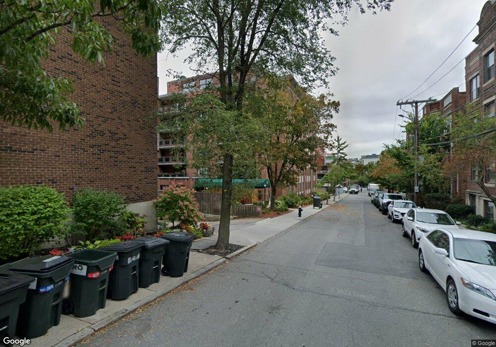
30 Stearns Rd Unit 602 Brookline, MA 02446
Coolidge Corner NeighborhoodEstimated Value: $977,000 - $1,245,000
2
Beds
2
Baths
1,450
Sq Ft
$794/Sq Ft
Est. Value
About This Home
This home is located at 30 Stearns Rd Unit 602, Brookline, MA 02446 and is currently estimated at $1,151,786, approximately $794 per square foot. 30 Stearns Rd Unit 602 is a home located in Norfolk County with nearby schools including Amos A. Lawrence School, St. Mary of the Assumption Elementary School, and Winsor School.
Ownership History
Date
Name
Owned For
Owner Type
Purchase Details
Closed on
Jun 10, 1994
Sold by
Wenning Robert H
Bought by
Alshine Polina
Current Estimated Value
Home Financials for this Owner
Home Financials are based on the most recent Mortgage that was taken out on this home.
Original Mortgage
$153,750
Interest Rate
8.29%
Mortgage Type
Purchase Money Mortgage
Create a Home Valuation Report for This Property
The Home Valuation Report is an in-depth analysis detailing your home's value as well as a comparison with similar homes in the area
Home Values in the Area
Average Home Value in this Area
Purchase History
| Date | Buyer | Sale Price | Title Company |
|---|---|---|---|
| Alshine Polina | $205,000 | -- |
Source: Public Records
Mortgage History
| Date | Status | Borrower | Loan Amount |
|---|---|---|---|
| Closed | Alshine Polina | $153,750 |
Source: Public Records
Tax History Compared to Growth
Tax History
| Year | Tax Paid | Tax Assessment Tax Assessment Total Assessment is a certain percentage of the fair market value that is determined by local assessors to be the total taxable value of land and additions on the property. | Land | Improvement |
|---|---|---|---|---|
| 2025 | $10,657 | $1,079,700 | $0 | $1,079,700 |
| 2024 | $10,342 | $1,058,500 | $0 | $1,058,500 |
| 2023 | $10,040 | $1,007,000 | $0 | $1,007,000 |
| 2022 | $10,061 | $987,300 | $0 | $987,300 |
| 2021 | $9,580 | $977,600 | $0 | $977,600 |
| 2020 | $9,147 | $967,900 | $0 | $967,900 |
| 2019 | $8,637 | $921,800 | $0 | $921,800 |
| 2018 | $8,453 | $893,600 | $0 | $893,600 |
| 2017 | $8,175 | $827,400 | $0 | $827,400 |
| 2016 | $7,838 | $752,200 | $0 | $752,200 |
| 2015 | $7,303 | $683,800 | $0 | $683,800 |
| 2014 | $6,868 | $603,000 | $0 | $603,000 |
Source: Public Records
Map
Nearby Homes
- 30 Stearns Rd Unit 302
- 98 Saint Paul St Unit A1
- 45 Longwood Ave Unit 812
- 45 Longwood Ave Unit PHA
- 60 Longwood Ave Unit 802
- 60 Longwood Ave Unit 307
- 60 Longwood Ave Unit 403
- 50 Longwood Ave Unit 611
- 65 Francis St Unit 65
- 65 Francis St
- 24 Auburn St Unit 1
- 24 Auburn St Unit 2
- 24 Auburn St Unit 3
- 14 Green St Unit PHA
- 14 Green St Unit PH1
- 5 Auburn Ct Unit 1
- 17 James St Unit 1
- 15 James St Unit 2
- 120 Brook St Unit 1
- 106 Brook St
- 30 Stearns Rd Unit PHB
- 30 Stearns Rd Unit PHA
- 30 Stearns Rd Unit 605
- 30 Stearns Rd Unit 604
- 30 Stearns Rd Unit 603
- 30 Stearns Rd Unit 601
- 30 Stearns Rd Unit 505
- 30 Stearns Rd Unit 504
- 30 Stearns Rd Unit 503
- 30 Stearns Rd Unit 502
- 30 Stearns Rd Unit 501
- 30 Stearns Rd Unit 404
- 30 Stearns Rd Unit 403
- 30 Stearns Rd Unit 402
- 30 Stearns Rd Unit 401
- 30 Stearns Rd Unit 305
- 30 Stearns Rd Unit 304
- 30 Stearns Rd Unit 303
- 30 Stearns Rd Unit 301
- 30 Stearns Rd Unit 205