Estimated Value: $14,861,298
Studio
2
Baths
58,460
Sq Ft
$254/Sq Ft
Est. Value
About This Home
This home is located at 30 Sudbury Rd, Acton, MA 01720 and is currently estimated at $14,861,298, approximately $254 per square foot. 30 Sudbury Rd is a home located in Middlesex County with nearby schools including Acton-Boxborough Regional High School and Corwin-Russell School At Broccoli Hall.
Ownership History
Date
Name
Owned For
Owner Type
Purchase Details
Closed on
Aug 31, 2000
Sold by
Acton Rt and Rice Stephen C
Bought by
30 Sudbury Rd Rt and Renfroe H Laurue
Current Estimated Value
Purchase Details
Closed on
Feb 11, 1994
Sold by
Crown Life Ins Co
Bought by
Acton Rt and Rice Stephen C
Home Financials for this Owner
Home Financials are based on the most recent Mortgage that was taken out on this home.
Original Mortgage
$475,500
Interest Rate
7.08%
Mortgage Type
Commercial
Purchase Details
Closed on
Nov 23, 1992
Sold by
Sudbury Rd Assocs Rt
Bought by
Crown Life Ins Co
Create a Home Valuation Report for This Property
The Home Valuation Report is an in-depth analysis detailing your home's value as well as a comparison with similar homes in the area
Home Values in the Area
Average Home Value in this Area
Purchase History
| Date | Buyer | Sale Price | Title Company |
|---|---|---|---|
| 30 Sudbury Rd Rt | $4,900,000 | -- | |
| Acton Rt | $610,000 | -- | |
| Crown Life Ins Co | $1,000,000 | -- |
Source: Public Records
Mortgage History
| Date | Status | Borrower | Loan Amount |
|---|---|---|---|
| Previous Owner | Crown Life Ins Co | $475,500 |
Source: Public Records
Tax History
| Year | Tax Paid | Tax Assessment Tax Assessment Total Assessment is a certain percentage of the fair market value that is determined by local assessors to be the total taxable value of land and additions on the property. | Land | Improvement |
|---|---|---|---|---|
| 2025 | $103,764 | $6,050,400 | $2,016,500 | $4,033,900 |
| 2024 | $97,953 | $5,876,000 | $2,016,500 | $3,859,500 |
| 2023 | $94,631 | $5,389,000 | $1,834,400 | $3,554,600 |
| 2022 | $100,150 | $5,149,100 | $1,594,500 | $3,554,600 |
| 2021 | $103,491 | $5,115,700 | $1,475,900 | $3,639,800 |
| 2020 | $96,796 | $5,031,000 | $1,475,900 | $3,555,100 |
| 2019 | $94,919 | $4,900,300 | $1,475,900 | $3,424,400 |
| 2018 | $92,437 | $4,769,700 | $1,475,900 | $3,293,800 |
| 2017 | $93,920 | $4,927,600 | $1,475,900 | $3,451,700 |
| 2016 | $92,994 | $4,835,900 | $1,475,900 | $3,360,000 |
| 2015 | $88,923 | $4,667,900 | $1,475,900 | $3,192,000 |
| 2014 | $91,497 | $4,704,200 | $1,475,900 | $3,228,300 |
Source: Public Records
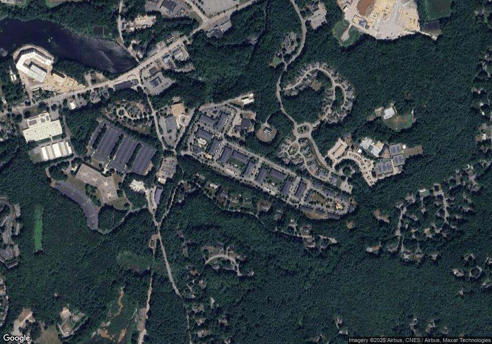
Map
Nearby Homes
- 96 Forest Ridge Rd Unit 96
- 23 Deer Path Unit 5
- 24 Deer Path Unit 5
- 2 & 6 Powder Mill Rd
- 70 Powder Mill Rd
- 68 Powder Mill Rd
- 66 Powder Mill Rd
- 22 Douglas Ave Unit 2
- 22 Douglas Ave Unit 1
- 1 Drummer Rd Unit A5
- 28 Waltham St Unit A
- 5 Hayes St Unit 5
- 31 Drummer Rd Unit 31
- 31-33 Roosevelt St
- 17 Prospect St
- 13 Arthur St Unit 15
- 62 Edgewood Rd
- 128 Parker St Unit 3B
- 12 Brown St
- 36 Brown St
- 2 Westside Dr
- 1 Westside Dr
- 4 Westside Dr
- 3 Westside Dr
- 6 Westside Dr
- 7 Westside Dr
- 5 Westside Dr
- 1 Nathan Pratt Dr
- 9 Westside Dr
- 10 W Side Dr
- 10 W Side Dr
- 10 Westside Dr
- 10 Westside Dr
- 10 Westside Dr Unit 10
- 11 Westside Dr
- 13 Westside Dr
- 12 Westside Dr
- 65 Powdermill Rd
- 15 Westside Dr
- 63 Powdermill Rd-Route 62
Your Personal Tour Guide
Ask me questions while you tour the home.