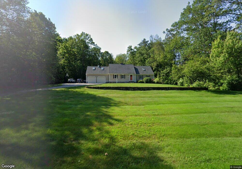
30 Telo Rd Windham, NH 03087
Estimated Value: $900,799 - $1,122,000
3
Beds
3
Baths
3,531
Sq Ft
$282/Sq Ft
Est. Value
About This Home
This home is located at 30 Telo Rd, Windham, NH 03087 and is currently estimated at $994,450, approximately $281 per square foot. 30 Telo Rd is a home located in Rockingham County with nearby schools including Golden Brook Elementary School, Windham Middle School, and Windham High School.
Ownership History
Date
Name
Owned For
Owner Type
Purchase Details
Closed on
Jul 2, 2002
Sold by
Hunter Gary R and Hunter Pamela I
Bought by
Noel Jason P
Current Estimated Value
Home Financials for this Owner
Home Financials are based on the most recent Mortgage that was taken out on this home.
Original Mortgage
$300,700
Outstanding Balance
$129,369
Interest Rate
6.92%
Estimated Equity
$865,081
Purchase Details
Closed on
Aug 15, 1997
Sold by
Leboeuf Steven E
Bought by
Hunter Gary R and Hunter Pamela I
Home Financials for this Owner
Home Financials are based on the most recent Mortgage that was taken out on this home.
Original Mortgage
$208,300
Interest Rate
7.56%
Create a Home Valuation Report for This Property
The Home Valuation Report is an in-depth analysis detailing your home's value as well as a comparison with similar homes in the area
Home Values in the Area
Average Home Value in this Area
Purchase History
| Date | Buyer | Sale Price | Title Company |
|---|---|---|---|
| Noel Jason P | $400,000 | -- | |
| Hunter Gary R | $230,500 | -- |
Source: Public Records
Mortgage History
| Date | Status | Borrower | Loan Amount |
|---|---|---|---|
| Open | Hunter Gary R | $300,700 | |
| Previous Owner | Hunter Gary R | $208,300 |
Source: Public Records
Tax History
| Year | Tax Paid | Tax Assessment Tax Assessment Total Assessment is a certain percentage of the fair market value that is determined by local assessors to be the total taxable value of land and additions on the property. | Land | Improvement |
|---|---|---|---|---|
| 2025 | $12,786 | $903,600 | $315,900 | $587,700 |
| 2024 | $12,108 | $534,800 | $193,400 | $341,400 |
| 2023 | $11,445 | $534,800 | $193,400 | $341,400 |
| 2022 | $10,568 | $534,800 | $193,400 | $341,400 |
| 2021 | $9,958 | $534,800 | $193,400 | $341,400 |
| 2020 | $10,231 | $534,800 | $193,400 | $341,400 |
| 2019 | $9,969 | $442,100 | $176,800 | $265,300 |
| 2018 | $10,297 | $442,100 | $176,800 | $265,300 |
| 2017 | $8,545 | $423,000 | $176,800 | $246,200 |
| 2016 | $9,230 | $423,000 | $176,800 | $246,200 |
| 2015 | $8,084 | $372,200 | $180,000 | $192,200 |
| 2014 | $9,372 | $390,500 | $180,000 | $210,500 |
| 2013 | $8,784 | $372,200 | $180,000 | $192,200 |
Source: Public Records
Map
Nearby Homes
Your Personal Tour Guide
Ask me questions while you tour the home.