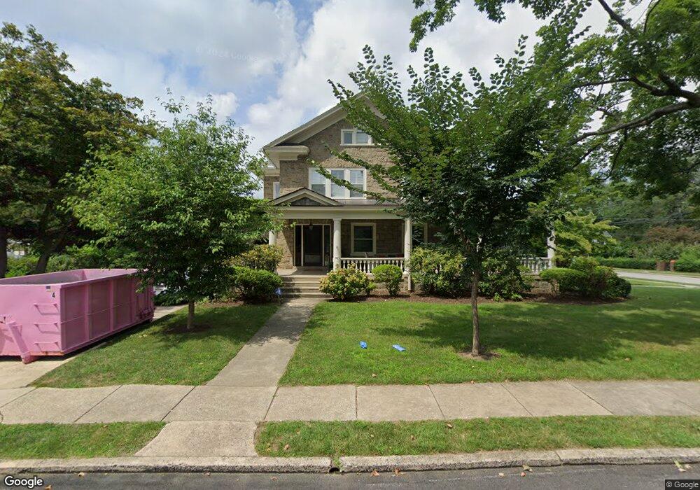
30 Tenby Rd Havertown, PA 19083
Estimated Value: $666,000 - $936,000
5
Beds
3
Baths
3,424
Sq Ft
$233/Sq Ft
Est. Value
About This Home
This home is located at 30 Tenby Rd, Havertown, PA 19083 and is currently estimated at $796,412, approximately $232 per square foot. 30 Tenby Rd is a home located in Delaware County with nearby schools including Chatham Park Elementary School, Haverford Middle School, and Haverford Senior High School.
Ownership History
Date
Name
Owned For
Owner Type
Purchase Details
Closed on
Oct 1, 2002
Sold by
Denny Mark K S
Bought by
Vanveen William Anthony and Vanveen Farina C
Current Estimated Value
Home Financials for this Owner
Home Financials are based on the most recent Mortgage that was taken out on this home.
Original Mortgage
$326,000
Outstanding Balance
$137,771
Interest Rate
6.27%
Estimated Equity
$658,641
Create a Home Valuation Report for This Property
The Home Valuation Report is an in-depth analysis detailing your home's value as well as a comparison with similar homes in the area
Home Values in the Area
Average Home Value in this Area
Purchase History
| Date | Buyer | Sale Price | Title Company |
|---|---|---|---|
| Vanveen William Anthony | $407,500 | Ta Title |
Source: Public Records
Mortgage History
| Date | Status | Borrower | Loan Amount |
|---|---|---|---|
| Open | Vanveen William Anthony | $326,000 | |
| Closed | Vanveen William Anthony | $40,750 |
Source: Public Records
Tax History Compared to Growth
Tax History
| Year | Tax Paid | Tax Assessment Tax Assessment Total Assessment is a certain percentage of the fair market value that is determined by local assessors to be the total taxable value of land and additions on the property. | Land | Improvement |
|---|---|---|---|---|
| 2025 | $11,809 | $459,270 | $154,610 | $304,660 |
| 2024 | $11,809 | $459,270 | $154,610 | $304,660 |
| 2023 | $11,473 | $459,270 | $154,610 | $304,660 |
| 2022 | $11,205 | $459,270 | $154,610 | $304,660 |
| 2021 | $18,255 | $459,270 | $154,610 | $304,660 |
| 2020 | $12,904 | $277,640 | $78,120 | $199,520 |
| 2019 | $12,666 | $277,640 | $78,120 | $199,520 |
| 2018 | $12,449 | $277,640 | $0 | $0 |
| 2017 | $12,185 | $277,640 | $0 | $0 |
| 2016 | $1,524 | $277,640 | $0 | $0 |
| 2015 | $1,555 | $277,640 | $0 | $0 |
| 2014 | $1,524 | $277,640 | $0 | $0 |
Source: Public Records
Map
Nearby Homes
- 110 E Township Line Rd
- 142 Foster Ave
- 223 E Park Rd
- 221 E Park Rd
- 8525 Monroe Ave
- 9138 W Chester Pike
- 9 N Brighton Ave
- 147 Juniper Rd
- 123 Cunningham Ave
- 2228 Manor Ave
- 22 S Linden Ave
- 607 Darby Rd
- 214 Brentwood Rd
- 2287 S Harwood Ave
- 221 N Linden Ave
- 235 N Linden Ave
- 304 Earlington Rd
- 447 W Chester Pike
- 911 Darby Rd
- 211 E Manoa Rd