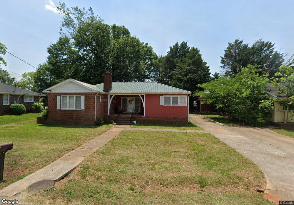
30 Terrell Dr Toccoa, GA 30577
Estimated Value: $178,000 - $214,207
3
Beds
2
Baths
1,625
Sq Ft
$122/Sq Ft
Est. Value
About This Home
This home is located at 30 Terrell Dr, Toccoa, GA 30577 and is currently estimated at $198,052, approximately $121 per square foot. 30 Terrell Dr is a home located in Stephens County with nearby schools including Stephens County High School.
Ownership History
Date
Name
Owned For
Owner Type
Purchase Details
Closed on
Feb 17, 2021
Sold by
Chebak Inc
Bought by
Akshiv Property Management Corp
Current Estimated Value
Purchase Details
Closed on
Mar 26, 2012
Sold by
Patel Paresh
Bought by
Chevak Inc
Purchase Details
Closed on
Oct 4, 2004
Bought by
Dandy Properties Llc
Purchase Details
Closed on
May 4, 2004
Bought by
<Buyer Info Not Present>
Purchase Details
Closed on
Dec 1, 1994
Bought by
<Buyer Info Not Present>
Purchase Details
Closed on
Mar 1, 1994
Bought by
<Buyer Info Not Present>
Purchase Details
Closed on
Mar 1, 1985
Bought by
<Buyer Info Not Present>
Create a Home Valuation Report for This Property
The Home Valuation Report is an in-depth analysis detailing your home's value as well as a comparison with similar homes in the area
Purchase History
| Date | Buyer | Sale Price | Title Company |
|---|---|---|---|
| Akshiv Property Management Corp | -- | -- | |
| Chevak Inc | -- | -- | |
| Patel Paresh | $38,000 | -- | |
| Dandy Properties Llc | -- | -- | |
| <Buyer Info Not Present> | $30,000 | -- | |
| <Buyer Info Not Present> | $59,500 | -- | |
| <Buyer Info Not Present> | $50,000 | -- | |
| <Buyer Info Not Present> | $30,000 | -- |
Source: Public Records
Tax History
| Year | Tax Paid | Tax Assessment Tax Assessment Total Assessment is a certain percentage of the fair market value that is determined by local assessors to be the total taxable value of land and additions on the property. | Land | Improvement |
|---|---|---|---|---|
| 2025 | $1,583 | $53,332 | $5,460 | $47,872 |
| 2024 | $1,287 | $36,092 | $5,460 | $30,632 |
| 2023 | $1,191 | $33,670 | $5,460 | $28,210 |
| 2022 | $953 | $32,017 | $5,460 | $26,557 |
| 2021 | $929 | $29,714 | $5,460 | $24,254 |
| 2020 | $936 | $29,647 | $5,460 | $24,187 |
| 2019 | $940 | $29,647 | $5,460 | $24,187 |
| 2018 | $940 | $29,647 | $5,460 | $24,187 |
| 2017 | $955 | $29,647 | $5,460 | $24,187 |
| 2016 | $940 | $29,646 | $5,459 | $24,186 |
| 2015 | $979 | $29,491 | $5,459 | $24,031 |
| 2014 | $1,005 | $29,780 | $5,460 | $24,320 |
| 2013 | -- | $29,779 | $5,459 | $24,320 |
Source: Public Records
Map
Nearby Homes
- 43 Sycamore Dr
- 110 Valley Rd
- 0 Stephen Dr Unit 10662201
- 297 Ayers Creek Dr
- 327 Ayers Creek Dr
- 122 King St
- 229 Hilltop Ln
- 0 Brookhaven Cir Unit 10616964
- 926 Skyline Dr
- 27 Hilltop Ln
- 0 Hwy 17 Alt Unit 10577119
- 0 Valley Dr Unit 7675761
- 0 Valley Dr Unit 10600268
- 189 Julia Ln
- 372 Hilltop Way
- 475 Hilltop Way
- 820 Collier Rd
- 59 Sunset Ln
- 321 Quail Forest Cir
- 148 Moreland Dr
Your Personal Tour Guide
Ask me questions while you tour the home.