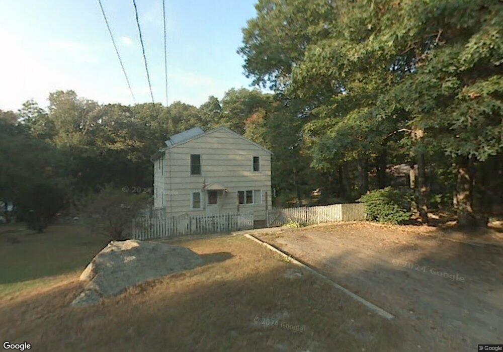
30 Turner Ln Burlington, CT 06013
Estimated Value: $296,000 - $335,836
2
Beds
1
Bath
696
Sq Ft
$453/Sq Ft
Est. Value
About This Home
This home is located at 30 Turner Ln, Burlington, CT 06013 and is currently estimated at $314,959, approximately $452 per square foot. 30 Turner Ln is a home located in Hartford County with nearby schools including Lake Garda Elementary School, Har-Bur Middle School, and Lewis S. Mills High School.
Ownership History
Date
Name
Owned For
Owner Type
Purchase Details
Closed on
Feb 9, 2024
Sold by
Palmer Josep A
Bought by
Raskauskas Thomas
Current Estimated Value
Home Financials for this Owner
Home Financials are based on the most recent Mortgage that was taken out on this home.
Original Mortgage
$215,000
Outstanding Balance
$211,208
Interest Rate
6.62%
Mortgage Type
Purchase Money Mortgage
Estimated Equity
$103,751
Purchase Details
Closed on
May 27, 2005
Sold by
Kelley Sophia B and Kelley Donald R
Bought by
Palmer Joseph A
Home Financials for this Owner
Home Financials are based on the most recent Mortgage that was taken out on this home.
Original Mortgage
$100,000
Interest Rate
5.94%
Mortgage Type
Purchase Money Mortgage
Create a Home Valuation Report for This Property
The Home Valuation Report is an in-depth analysis detailing your home's value as well as a comparison with similar homes in the area
Home Values in the Area
Average Home Value in this Area
Purchase History
| Date | Buyer | Sale Price | Title Company |
|---|---|---|---|
| Raskauskas Thomas | $275,000 | None Available | |
| Raskauskas Thomas | $275,000 | None Available | |
| Palmer Joseph A | $170,000 | -- | |
| Palmer Joseph A | $170,000 | -- |
Source: Public Records
Mortgage History
| Date | Status | Borrower | Loan Amount |
|---|---|---|---|
| Open | Raskauskas Thomas | $215,000 | |
| Closed | Raskauskas Thomas | $215,000 | |
| Previous Owner | Palmer Joseph A | $100,000 |
Source: Public Records
Tax History Compared to Growth
Tax History
| Year | Tax Paid | Tax Assessment Tax Assessment Total Assessment is a certain percentage of the fair market value that is determined by local assessors to be the total taxable value of land and additions on the property. | Land | Improvement |
|---|---|---|---|---|
| 2025 | $5,366 | $201,740 | $59,080 | $142,660 |
| 2024 | $5,406 | $208,740 | $59,080 | $149,660 |
| 2023 | $4,957 | $153,930 | $65,450 | $88,480 |
| 2022 | $5,034 | $153,930 | $65,450 | $88,480 |
| 2021 | $5,141 | $153,930 | $65,450 | $88,480 |
| 2020 | $5,126 | $153,930 | $65,450 | $88,480 |
| 2019 | $5,080 | $153,930 | $65,450 | $88,480 |
| 2018 | $5,185 | $159,530 | $65,450 | $94,080 |
| 2017 | $5,105 | $159,530 | $65,450 | $94,080 |
| 2016 | $5,041 | $159,530 | $65,450 | $94,080 |
| 2015 | $4,961 | $159,530 | $65,450 | $94,080 |
| 2014 | $4,762 | $159,530 | $65,450 | $94,080 |
Source: Public Records
Map
Nearby Homes
- 361D George Washington Turnpike
- Map Block # 1-04-8 ( George Washington Turnpike
- 75 Punch Brook Rd
- 44 Jerome Ave
- 31 Jerome Ave
- 22 Angelas Way
- 39 Jerome Ave
- 25 Punch Brook Rd
- 10 Stone Ridge Crossing
- 40 Donna Dr
- 60 Wildcat Rd
- 86 Alpine Dr
- 35 Bridgehampton Crossing
- 8919 Taine Mountain Rd
- 523 New Rd
- 0 Spielman Hwy
- 5 Ridge Rd
- 12 Ridge Rd
- 10 Taine Mountain Rd
- 5 W Woods Rd