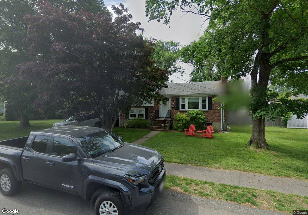
30 Wesley St Dedham, MA 02026
Greenlodge NeighborhoodEstimated Value: $756,683 - $919,000
3
Beds
2
Baths
1,174
Sq Ft
$731/Sq Ft
Est. Value
About This Home
This home is located at 30 Wesley St, Dedham, MA 02026 and is currently estimated at $858,171, approximately $730 per square foot. 30 Wesley St is a home located in Norfolk County with nearby schools including Greenlodge Elementary School, Dedham Middle School, and Dedham High School.
Ownership History
Date
Name
Owned For
Owner Type
Purchase Details
Closed on
Sep 13, 2007
Sold by
Finkle Diane M and Maki Diane
Bought by
Chu Carolyn and Chu George
Current Estimated Value
Home Financials for this Owner
Home Financials are based on the most recent Mortgage that was taken out on this home.
Original Mortgage
$343,200
Outstanding Balance
$218,734
Interest Rate
6.7%
Mortgage Type
Purchase Money Mortgage
Estimated Equity
$639,437
Purchase Details
Closed on
Aug 9, 2000
Sold by
Mountain Dog Dev Corp
Bought by
Roy Judy
Home Financials for this Owner
Home Financials are based on the most recent Mortgage that was taken out on this home.
Original Mortgage
$252,000
Interest Rate
8.21%
Mortgage Type
Purchase Money Mortgage
Create a Home Valuation Report for This Property
The Home Valuation Report is an in-depth analysis detailing your home's value as well as a comparison with similar homes in the area
Home Values in the Area
Average Home Value in this Area
Purchase History
| Date | Buyer | Sale Price | Title Company |
|---|---|---|---|
| Chu Carolyn | $429,000 | -- | |
| Roy Judy | $505,600 | -- |
Source: Public Records
Mortgage History
| Date | Status | Borrower | Loan Amount |
|---|---|---|---|
| Open | Chu Carolyn | $343,200 | |
| Previous Owner | Roy Judy | $70,000 | |
| Previous Owner | Roy Judy | $252,000 |
Source: Public Records
Tax History
| Year | Tax Paid | Tax Assessment Tax Assessment Total Assessment is a certain percentage of the fair market value that is determined by local assessors to be the total taxable value of land and additions on the property. | Land | Improvement |
|---|---|---|---|---|
| 2025 | $8,982 | $711,700 | $377,000 | $334,700 |
| 2024 | $8,641 | $691,300 | $347,000 | $344,300 |
| 2023 | $8,246 | $642,200 | $322,000 | $320,200 |
| 2022 | $7,660 | $573,800 | $294,600 | $279,200 |
| 2021 | $7,341 | $537,000 | $294,600 | $242,400 |
| 2020 | $7,108 | $518,100 | $282,200 | $235,900 |
| 2019 | $6,955 | $491,500 | $256,200 | $235,300 |
| 2018 | $6,533 | $449,000 | $231,100 | $217,900 |
| 2017 | $6,512 | $441,200 | $221,800 | $219,400 |
| 2016 | $6,452 | $416,500 | $197,100 | $219,400 |
| 2015 | $5,924 | $373,300 | $193,000 | $180,300 |
| 2014 | $5,734 | $356,600 | $193,000 | $163,600 |
Source: Public Records
Map
Nearby Homes
- 215 Blue Hill Dr
- 350 Blue Hill Dr
- 360 Blue Hill Dr
- 22 Azalea Cir
- 44 Holmes Rd
- 926 East St
- 50 Sprague St
- 391 Sprague St
- 130 University Ave Unit 1405
- 397 Sprague St
- 355 Canton St
- 19 Cushing Rd
- 88 Durham Rd
- 59 Hamilton Ave
- 2 Leominster Rd
- 51 Lancaster Rd
- 36 Lancaster Rd
- 146 Jefferson St
- 45 Circuit Rd
- 6 Snow Ln