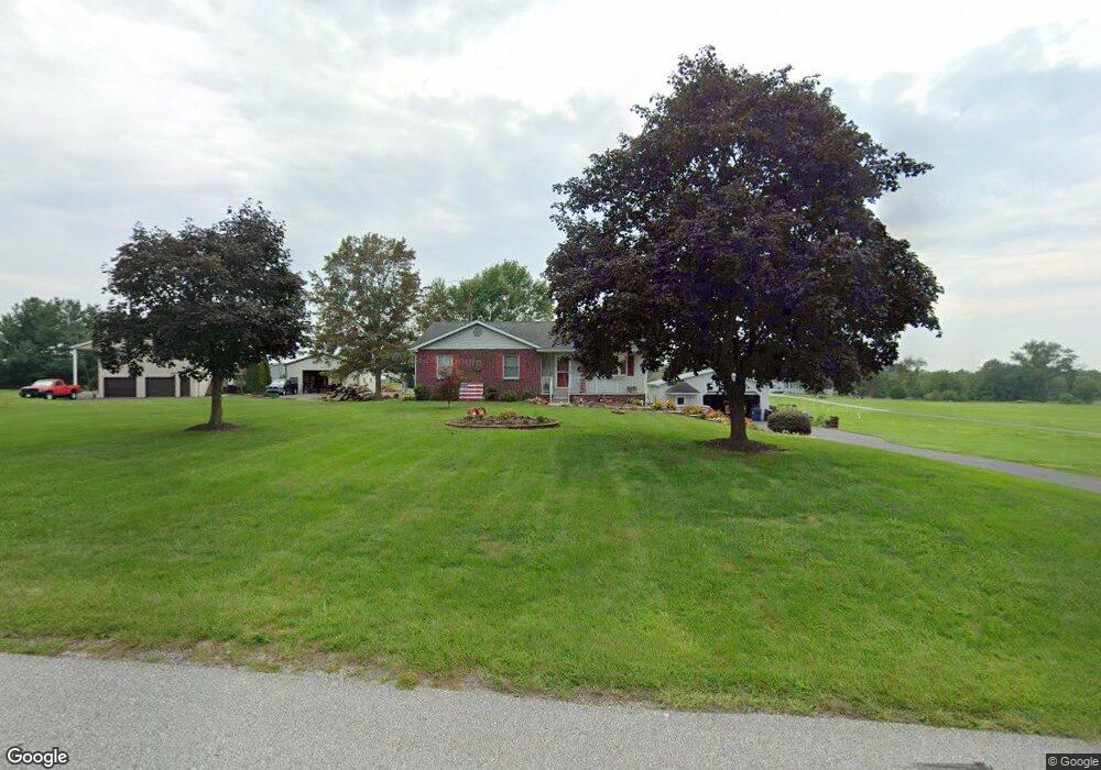
30 Westerly Dr Unit 13 Littlestown, PA 17340
Estimated Value: $274,000 - $368,000
3
Beds
2
Baths
1,240
Sq Ft
$254/Sq Ft
Est. Value
About This Home
This home is located at 30 Westerly Dr Unit 13, Littlestown, PA 17340 and is currently estimated at $314,446, approximately $253 per square foot. 30 Westerly Dr Unit 13 is a home located in Adams County with nearby schools including Rolling Acres El School, Maple Avenue Middle School, and Littlestown Senior High School.
Ownership History
Date
Name
Owned For
Owner Type
Purchase Details
Closed on
Jul 20, 1987
Bought by
Albin Elwood D and Albin Ii Charlene A
Current Estimated Value
Create a Home Valuation Report for This Property
The Home Valuation Report is an in-depth analysis detailing your home's value as well as a comparison with similar homes in the area
Home Values in the Area
Average Home Value in this Area
Purchase History
| Date | Buyer | Sale Price | Title Company |
|---|---|---|---|
| Albin Elwood D | $13,900 | -- |
Source: Public Records
Tax History Compared to Growth
Tax History
| Year | Tax Paid | Tax Assessment Tax Assessment Total Assessment is a certain percentage of the fair market value that is determined by local assessors to be the total taxable value of land and additions on the property. | Land | Improvement |
|---|---|---|---|---|
| 2025 | $3,487 | $184,200 | $53,000 | $131,200 |
| 2024 | $3,351 | $184,200 | $53,000 | $131,200 |
| 2023 | $3,267 | $184,200 | $53,000 | $131,200 |
| 2022 | $3,243 | $184,200 | $53,000 | $131,200 |
| 2021 | $3,128 | $184,200 | $53,000 | $131,200 |
| 2020 | $3,082 | $184,200 | $53,000 | $131,200 |
| 2019 | $3,016 | $184,200 | $53,000 | $131,200 |
| 2018 | $2,927 | $184,200 | $53,000 | $131,200 |
| 2017 | $2,835 | $184,200 | $53,000 | $131,200 |
| 2016 | -- | $184,200 | $53,000 | $131,200 |
| 2015 | -- | $184,200 | $53,000 | $131,200 |
| 2014 | -- | $184,200 | $53,000 | $131,200 |
Source: Public Records
Map
Nearby Homes
- 37 Amanda Dr Unit 14
- 0 Hershey Rd Unit PALA2058618
- 0 Conestoga Blvd Unit PALA2080682
- 2238 Harney Rd Unit 3
- 975 Hoffman Home Rd Unit 6
- 4174 Francis Scott Key Hwy
- 1024 Frederick Pike Unit 6
- 3989 Kump Station Rd
- 161 Stoners Cir
- 5021 Harney Rd
- 15 Yorktowne Ct Unit 97
- 22 Rita Marie Ave
- 58 Windsor Ct
- Patton - Slab Plan at Wade Run at The Links at Gettysburg
- Augusta - Basement Plan at Wade Run at The Links at Gettysburg
- Andrews - Basement Plan at Wade Run at The Links at Gettysburg
- Powell Plan at Wade Run at The Links at Gettysburg
- Hancock - Slab Only Plan at Wade Run at The Links at Gettysburg
- Hampton II - Basement Plan at Wade Run at The Links at Gettysburg
- Andrews - Slab Plan at Wade Run at The Links at Gettysburg
- 10 Westerly Dr Unit 14
- 35 Westerly Dr Unit 8
- 284 Teeter Rd Unit 15
- 17 Westerly Dr Unit 7
- 5 Westerly Dr
- 40 Westerly Dr Unit 11A
- 45 Westerly Dr Unit 9
- 266 Teeter Rd Unit 16
- 250 Teeter Rd Unit 17
- 334 Teeter Rd Unit 3
- 50 Westerly Dr Unit 11
- 55 Westerly Dr Unit 10
- 230 Teeter Rd
- 348 Teeter Rd Unit 4
- 366 Teeter Rd Unit 3
- 210 Teeter Rd Unit 19
- 1475 Harney Rd Unit 12
- 1401 Harney Rd Unit 11
- 1341 Harney Rd
- 1359 Harney Rd