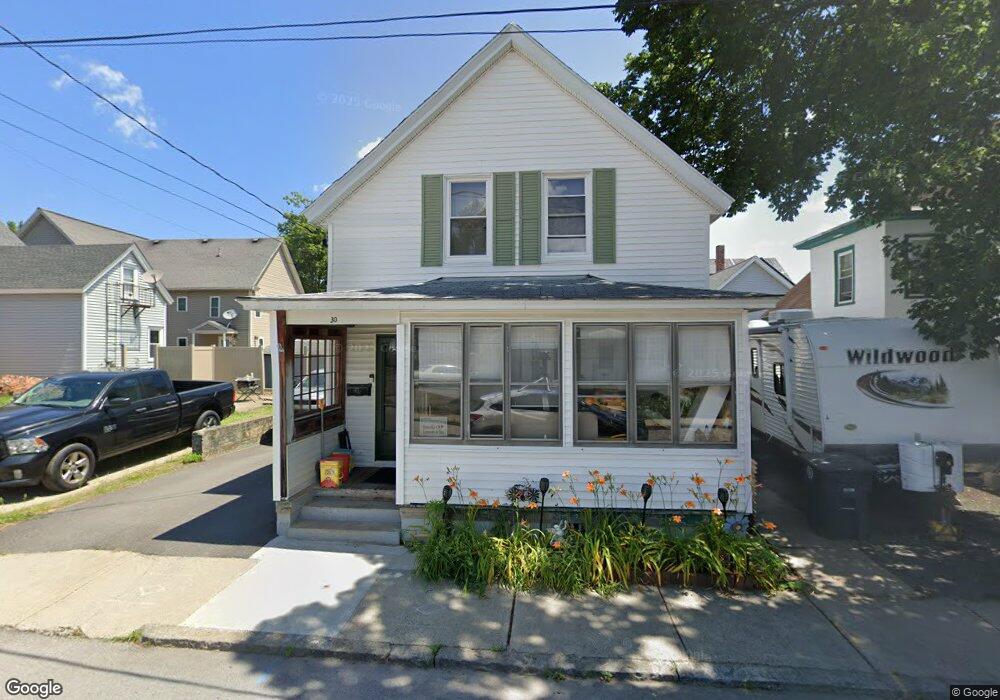
30 Wilder St Nashua, NH 03060
South End Nashua NeighborhoodEstimated Value: $378,000 - $426,000
4
Beds
2
Baths
1,092
Sq Ft
$364/Sq Ft
Est. Value
About This Home
This home is located at 30 Wilder St, Nashua, NH 03060 and is currently estimated at $397,691, approximately $364 per square foot. 30 Wilder St is a home located in Hillsborough County with nearby schools including Fairgrounds Elementary School, Fairgrounds Middle School, and Nashua High School South.
Ownership History
Date
Name
Owned For
Owner Type
Purchase Details
Closed on
Apr 28, 2017
Sold by
Copitts Allan K and Colpitts Stephanie S
Bought by
Robinson Carol C and Robinson Eugenee T
Current Estimated Value
Home Financials for this Owner
Home Financials are based on the most recent Mortgage that was taken out on this home.
Original Mortgage
$114,880
Outstanding Balance
$94,460
Interest Rate
3.87%
Mortgage Type
FHA
Estimated Equity
$303,231
Purchase Details
Closed on
Aug 29, 1980
Bought by
Colpitts Allan K and Colpitts Stephanie S
Create a Home Valuation Report for This Property
The Home Valuation Report is an in-depth analysis detailing your home's value as well as a comparison with similar homes in the area
Home Values in the Area
Average Home Value in this Area
Purchase History
| Date | Buyer | Sale Price | Title Company |
|---|---|---|---|
| Robinson Carol C | $117,000 | -- | |
| Colpitts Allan K | -- | -- |
Source: Public Records
Mortgage History
| Date | Status | Borrower | Loan Amount |
|---|---|---|---|
| Open | Robinson Carol C | $114,880 |
Source: Public Records
Tax History Compared to Growth
Tax History
| Year | Tax Paid | Tax Assessment Tax Assessment Total Assessment is a certain percentage of the fair market value that is determined by local assessors to be the total taxable value of land and additions on the property. | Land | Improvement |
|---|---|---|---|---|
| 2024 | $5,702 | $358,600 | $109,100 | $249,500 |
| 2023 | $5,633 | $309,000 | $87,300 | $221,700 |
| 2022 | $5,584 | $309,000 | $87,300 | $221,700 |
| 2021 | $4,677 | $201,400 | $58,200 | $143,200 |
| 2020 | $4,554 | $201,400 | $58,200 | $143,200 |
| 2019 | $4,382 | $201,400 | $58,200 | $143,200 |
| 2018 | $4,272 | $201,400 | $58,200 | $143,200 |
| 2017 | $3,714 | $144,000 | $62,700 | $81,300 |
| 2016 | $3,603 | $143,700 | $62,400 | $81,300 |
| 2015 | $3,525 | $143,700 | $62,400 | $81,300 |
| 2014 | $3,456 | $143,700 | $62,400 | $81,300 |
Source: Public Records
Map
Nearby Homes
- 22 Wilder St
- 121 Palm St
- 4 Badger St
- 8 Buck St Unit 10
- 30 Ledge St
- 38 Central St
- 169A W Hollis St Unit 193
- 15 Lovell St Unit 20
- 15 Lovell St Unit 3
- 15 Lovell St Unit 7
- 15 Lovell St Unit 10
- 5 Mulberry St
- 97 Linwood St
- 24 E Otterson St
- 63 Dexter St
- 22 New Dunstable Rd Unit 132133
- 18 Harbor Ave Unit 208
- 11 Charles St
- 22 Kern Dr
- 2 Lyons St
- 32 Wilder St
- 3 Blossom St
- 72 Kinsley St Unit 74
- 68 Kinsley St Unit 70
- 31 Wilder St
- 66 Kinsley St
- 8 Blossom St
- 76 Kinsley St
- 46 Blossom St
- 10 Blossom St
- 115 Pine St Unit 133
- 64 Kinsley St
- 113 Pine St
- 12 Blossom St Unit 121/2
- 12 Blossom St
- 71 Kinsley St
- 34 Hanover St
- 69 Kinsley St
- 69 Kinsley St Unit A
- 24 Wilder St Unit B