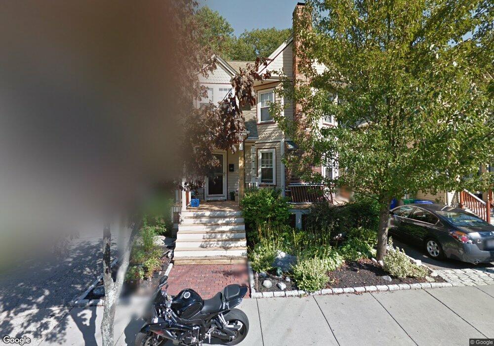
30 Wildwood Ave Newtonville, MA 02460
West Newton NeighborhoodEstimated Value: $1,106,393 - $1,241,000
3
Beds
2
Baths
1,618
Sq Ft
$735/Sq Ft
Est. Value
About This Home
This home is located at 30 Wildwood Ave, Newtonville, MA 02460 and is currently estimated at $1,189,098, approximately $734 per square foot. 30 Wildwood Ave is a home located in Middlesex County with nearby schools including Horace Mann Elementary School, F.A. Day Middle School, and Newton North High School.
Ownership History
Date
Name
Owned For
Owner Type
Purchase Details
Closed on
Jun 16, 1994
Sold by
Rrov Inc
Bought by
Depasquale Anthony J and Depasquale Linda L
Current Estimated Value
Purchase Details
Closed on
Sep 3, 1993
Sold by
Easterly Gertrue D and Rrov Inc
Bought by
Rrov Inc
Create a Home Valuation Report for This Property
The Home Valuation Report is an in-depth analysis detailing your home's value as well as a comparison with similar homes in the area
Home Values in the Area
Average Home Value in this Area
Purchase History
| Date | Buyer | Sale Price | Title Company |
|---|---|---|---|
| Depasquale Anthony J | $110,000 | -- | |
| Rrov Inc | $140,000 | -- |
Source: Public Records
Mortgage History
| Date | Status | Borrower | Loan Amount |
|---|---|---|---|
| Open | Rrov Inc | $155,000 | |
| Closed | Rrov Inc | $35,500 | |
| Closed | Rrov Inc | $156,000 |
Source: Public Records
Tax History Compared to Growth
Tax History
| Year | Tax Paid | Tax Assessment Tax Assessment Total Assessment is a certain percentage of the fair market value that is determined by local assessors to be the total taxable value of land and additions on the property. | Land | Improvement |
|---|---|---|---|---|
| 2025 | $8,141 | $830,700 | $730,400 | $100,300 |
| 2024 | $7,871 | $806,500 | $709,100 | $97,400 |
| 2023 | $7,454 | $732,200 | $527,800 | $204,400 |
| 2022 | $7,133 | $678,000 | $488,700 | $189,300 |
| 2021 | $6,882 | $639,600 | $461,000 | $178,600 |
| 2020 | $6,677 | $639,600 | $461,000 | $178,600 |
| 2019 | $6,489 | $621,000 | $447,600 | $173,400 |
| 2018 | $6,201 | $573,100 | $405,700 | $167,400 |
| 2017 | $6,013 | $540,700 | $382,700 | $158,000 |
| 2016 | $5,750 | $505,300 | $357,700 | $147,600 |
| 2015 | $5,482 | $472,200 | $334,300 | $137,900 |
Source: Public Records
Map
Nearby Homes
- 321 Albemarle Rd
- 43 Walker St
- 354 Linwood Ave Unit 1
- 4 Wiswall St
- 32-34 Rossmere St
- 611 Watertown St Unit 14
- 12 Wiswall St
- 27 Cross St Unit 27
- 957 Washington St Unit 1
- 57 Walnut St
- 935 Washington St (Rear Facing) Unit 11
- 935 Washington St Unit 8
- 911 Washington St
- 123 Mount Vernon St Unit 2
- 168 Walnut St
- 318 Austin St Unit A
- 97 North St
- 177 Nevada St
- 33 Joseph Rd
- 42-44 Judkins St
- 34 Wildwood Ave
- 28 Wildwood Ave
- 24 Wildwood Ave Unit 24
- 36 Wildwood Ave
- 27 Wildwood Ave
- 33 Wildwood Ave
- 20 Wildwood Ave
- 23 Wildwood Ave
- 315 Albemarle Rd
- 325 Albemarle Rd
- 19 Wildwood Ave
- 44 Wildwood Ave
- 41 Wildwood Ave
- 311 Albemarle Rd
- 30 Kensington St
- 331 Albemarle Rd
- 40 Kensington St
- 26 Kensington St
- 45 Wildwood Ave
- 335 Albemarle Rd