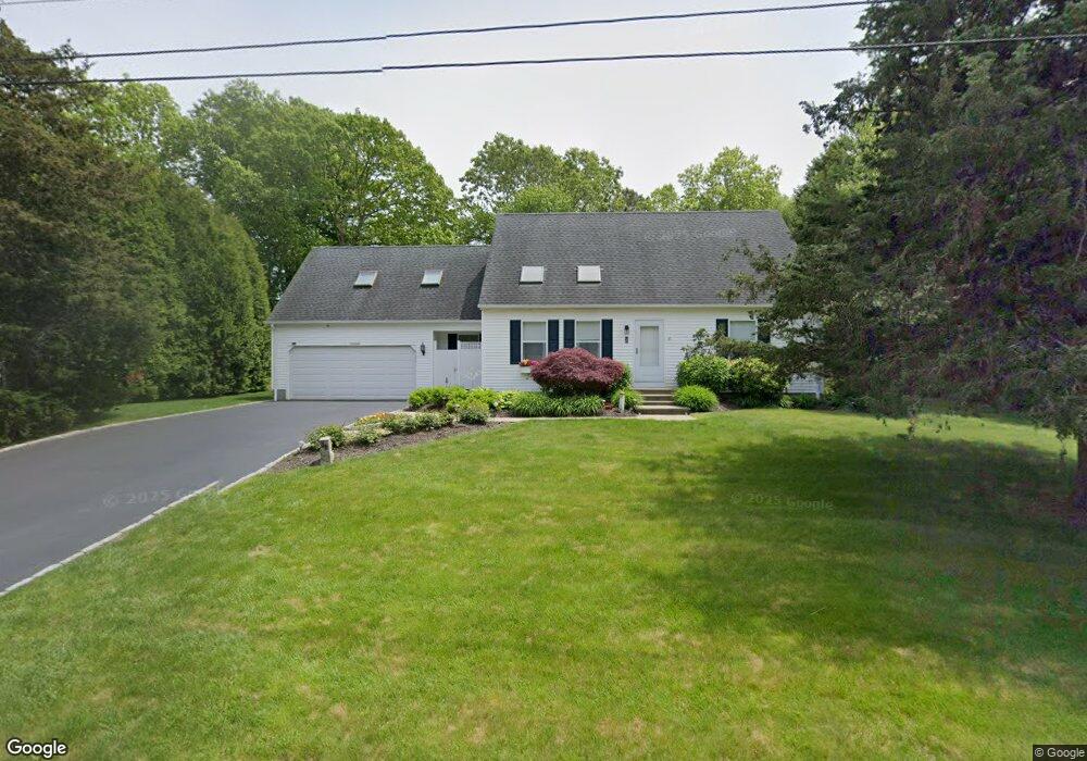
30 Windward Dr Westerly, RI 02891
Estimated Value: $923,000 - $1,188,000
3
Beds
2
Baths
1,928
Sq Ft
$538/Sq Ft
Est. Value
About This Home
This home is located at 30 Windward Dr, Westerly, RI 02891 and is currently estimated at $1,036,530, approximately $537 per square foot. 30 Windward Dr is a home located in Washington County with nearby schools including Westerly High School and St. Michael School.
Ownership History
Date
Name
Owned For
Owner Type
Purchase Details
Closed on
Sep 25, 2009
Sold by
Brockway Douglas W and Brockway Genevieve H
Bought by
Parahus Robert W
Current Estimated Value
Home Financials for this Owner
Home Financials are based on the most recent Mortgage that was taken out on this home.
Original Mortgage
$200,000
Interest Rate
4.69%
Mortgage Type
Purchase Money Mortgage
Create a Home Valuation Report for This Property
The Home Valuation Report is an in-depth analysis detailing your home's value as well as a comparison with similar homes in the area
Home Values in the Area
Average Home Value in this Area
Purchase History
| Date | Buyer | Sale Price | Title Company |
|---|---|---|---|
| Parahus Robert W | $398,000 | -- |
Source: Public Records
Mortgage History
| Date | Status | Borrower | Loan Amount |
|---|---|---|---|
| Closed | Parahus Robert W | $200,000 |
Source: Public Records
Tax History Compared to Growth
Tax History
| Year | Tax Paid | Tax Assessment Tax Assessment Total Assessment is a certain percentage of the fair market value that is determined by local assessors to be the total taxable value of land and additions on the property. | Land | Improvement |
|---|---|---|---|---|
| 2025 | $5,005 | $703,900 | $267,300 | $436,600 |
| 2024 | $5,741 | $585,200 | $191,400 | $393,800 |
| 2023 | $5,630 | $585,200 | $191,400 | $393,800 |
| 2022 | $5,595 | $585,200 | $191,400 | $393,800 |
| 2021 | $4,846 | $420,700 | $166,500 | $254,200 |
| 2020 | $4,758 | $420,700 | $166,500 | $254,200 |
| 2019 | $4,678 | $417,700 | $166,500 | $251,200 |
| 2018 | $4,185 | $352,300 | $166,500 | $185,800 |
| 2017 | $4,083 | $352,300 | $166,500 | $185,800 |
| 2016 | $4,041 | $346,000 | $166,500 | $179,500 |
| 2015 | $3,903 | $360,700 | $170,000 | $190,700 |
| 2014 | $3,838 | $360,700 | $170,000 | $190,700 |
Source: Public Records
Map
Nearby Homes
- 26 Windward Dr
- 4 Shore Rd
- 109 Watch Hill Rd
- 10 Tristam St
- 13 No Bottom Ridge Rd
- 18 No Bottom Ridge Ridge
- 17 E Hills Rd
- 19 E Hills Rd
- 4 Quail Run
- 7 Spring Pond Rd
- 6 Fox Run Run
- 43 Avondale Rd
- 32 Crandall Ave
- 52 Avondale Rd
- 60 Avondale Rd
- 121 Avondale Rd
- 417 River Rd
- 50 Ocean View Hwy
- 9 Champlin Dr
- 20 Browning Rd
- 28 Windward Dr
- 38 Setting Sun Dr
- 0 Windward Dr
- 18 Shore Rd
- 27 Windward Dr
- 20 Shore Rd
- 4 Misquamicut Hills Rd
- 6 Misquamicut Hills Rd
- 32 Setting Sun Dr
- 46 Setting Sun Dr
- 16 Shore Rd
- 35 Setting Sun Dr
- 2 Misquamicut Hills Rd
- 24 Windward Dr
- 25 Windward Dr
- 31 Setting Sun Dr
- 8 Misquamicut Hills Rd
- 3 D'Amato Dr
- 3 Damato Dr
- 1 Windward Dr