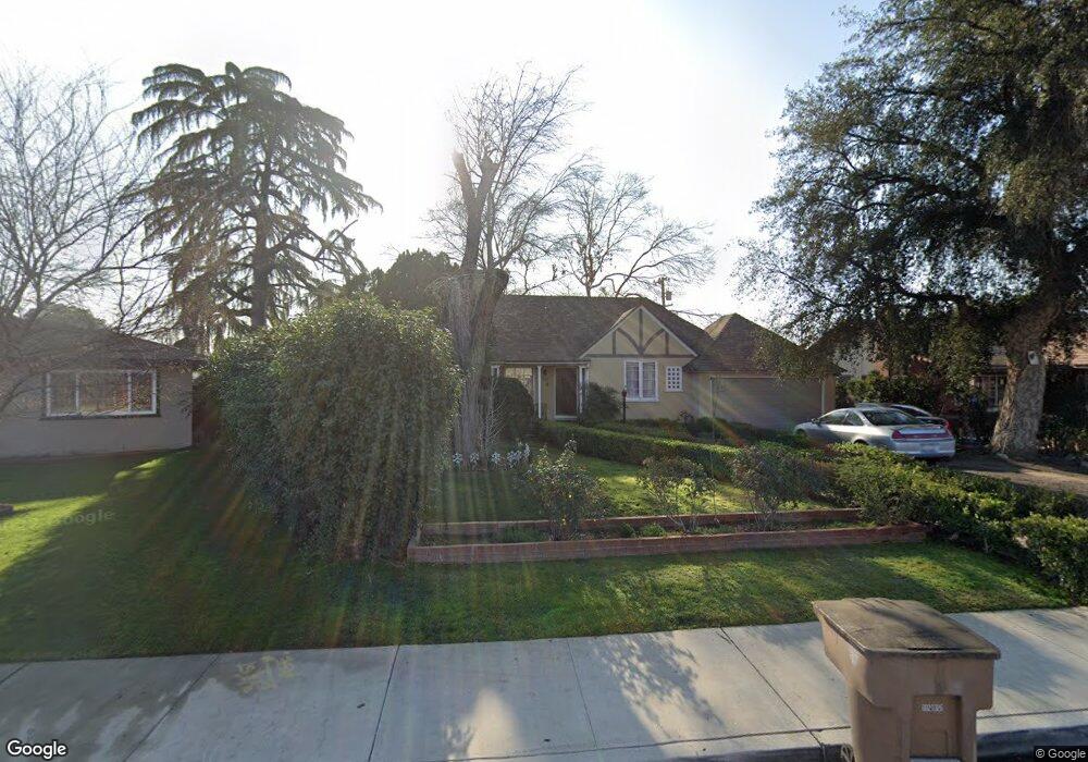
300 Brink Dr Bakersfield, CA 93304
Southgate NeighborhoodEstimated Value: $272,000 - $334,000
2
Beds
2
Baths
1,540
Sq Ft
$192/Sq Ft
Est. Value
About This Home
This home is located at 300 Brink Dr, Bakersfield, CA 93304 and is currently estimated at $295,825, approximately $192 per square foot. 300 Brink Dr is a home located in Kern County with nearby schools including Wayside Elementary School, Sequoia Middle School, and West High School.
Ownership History
Date
Name
Owned For
Owner Type
Purchase Details
Closed on
Jun 23, 2014
Sold by
Foresti Lauren
Bought by
Foresti Luca
Current Estimated Value
Purchase Details
Closed on
Jun 16, 2003
Sold by
Duvall Eleanor Ann
Bought by
Foresti Luca and Foresti Lauren
Home Financials for this Owner
Home Financials are based on the most recent Mortgage that was taken out on this home.
Original Mortgage
$73,450
Outstanding Balance
$28,564
Interest Rate
4.24%
Mortgage Type
Purchase Money Mortgage
Estimated Equity
$267,261
Purchase Details
Closed on
Apr 30, 1998
Sold by
Gibson Vera K and Gibson Dorothy M
Bought by
Gibson Vera K and Vera K Gibson Trust
Create a Home Valuation Report for This Property
The Home Valuation Report is an in-depth analysis detailing your home's value as well as a comparison with similar homes in the area
Home Values in the Area
Average Home Value in this Area
Purchase History
| Date | Buyer | Sale Price | Title Company |
|---|---|---|---|
| Foresti Luca | -- | None Available | |
| Foresti Luca | $113,000 | American Title | |
| Gibson Vera K | -- | -- | |
| Gibson Dorothy May | -- | -- |
Source: Public Records
Mortgage History
| Date | Status | Borrower | Loan Amount |
|---|---|---|---|
| Open | Foresti Luca | $73,450 |
Source: Public Records
Tax History
| Year | Tax Paid | Tax Assessment Tax Assessment Total Assessment is a certain percentage of the fair market value that is determined by local assessors to be the total taxable value of land and additions on the property. | Land | Improvement |
|---|---|---|---|---|
| 2025 | $2,560 | $160,638 | $31,267 | $129,371 |
| 2024 | $2,504 | $157,489 | $30,654 | $126,835 |
| 2023 | $2,504 | $154,402 | $30,053 | $124,349 |
| 2022 | $2,443 | $151,375 | $29,464 | $121,911 |
| 2021 | $2,334 | $148,408 | $28,887 | $119,521 |
| 2020 | $2,298 | $146,887 | $28,591 | $118,296 |
| 2019 | $2,253 | $146,887 | $28,591 | $118,296 |
| 2018 | $2,202 | $141,185 | $27,482 | $113,703 |
| 2017 | $2,189 | $138,418 | $26,944 | $111,474 |
| 2016 | $2,013 | $135,705 | $26,416 | $109,289 |
| 2015 | $1,959 | $130,000 | $33,000 | $97,000 |
| 2014 | $1,924 | $130,000 | $33,000 | $97,000 |
Source: Public Records
Map
Nearby Homes
- 230 Brink Dr
- 308 Brink Dr
- 317 Vernal Place
- 222 Brink Dr
- 301 Brink Dr
- 325 Vernal Place
- 314 Brink Dr
- 305 Vernal Place
- 1330 Terrace Way
- 225 1/2 Brink Dr
- 217 Brink Dr
- 329 Vernal Place
- 322 S Chester Ave
- 308 S Chester Ave
- 304 S Chester Ave
- 209 Brink Dr
- 318 Vernal Place
- 1313 Terrace Way
- 1319 Terrace Way
- 1307 Terrace Way
Your Personal Tour Guide
Ask me questions while you tour the home.