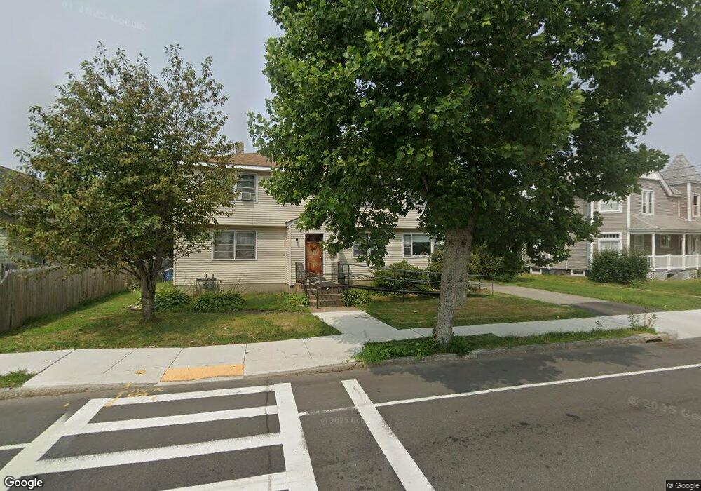
300 Burncoat St Worcester, MA 01606
Greendale NeighborhoodEstimated Value: $511,000 - $558,000
6
Beds
2
Baths
2,363
Sq Ft
$228/Sq Ft
Est. Value
About This Home
This home is located at 300 Burncoat St, Worcester, MA 01606 and is currently estimated at $537,794, approximately $227 per square foot. 300 Burncoat St is a home located in Worcester County with nearby schools including Jacob Hiatt Magnet School, Chandler Magnet, and Thorndyke Road School.
Ownership History
Date
Name
Owned For
Owner Type
Purchase Details
Closed on
Dec 23, 2003
Sold by
Vanasse Patricia A
Bought by
Figurski Barbara J
Current Estimated Value
Home Financials for this Owner
Home Financials are based on the most recent Mortgage that was taken out on this home.
Original Mortgage
$157,500
Outstanding Balance
$73,390
Interest Rate
5.96%
Mortgage Type
Purchase Money Mortgage
Estimated Equity
$464,404
Create a Home Valuation Report for This Property
The Home Valuation Report is an in-depth analysis detailing your home's value as well as a comparison with similar homes in the area
Home Values in the Area
Average Home Value in this Area
Purchase History
| Date | Buyer | Sale Price | Title Company |
|---|---|---|---|
| Figurski Barbara J | $235,000 | -- |
Source: Public Records
Mortgage History
| Date | Status | Borrower | Loan Amount |
|---|---|---|---|
| Open | Figurski Barbara J | $157,500 |
Source: Public Records
Tax History Compared to Growth
Tax History
| Year | Tax Paid | Tax Assessment Tax Assessment Total Assessment is a certain percentage of the fair market value that is determined by local assessors to be the total taxable value of land and additions on the property. | Land | Improvement |
|---|---|---|---|---|
| 2025 | $6,210 | $470,800 | $118,900 | $351,900 |
| 2024 | $6,046 | $439,700 | $118,900 | $320,800 |
| 2023 | $5,488 | $382,700 | $103,300 | $279,400 |
| 2022 | $5,508 | $362,100 | $82,700 | $279,400 |
| 2021 | $4,920 | $302,200 | $66,200 | $236,000 |
| 2020 | $4,257 | $250,400 | $66,100 | $184,300 |
| 2019 | $4,239 | $235,500 | $59,600 | $175,900 |
| 2018 | $4,361 | $230,600 | $59,600 | $171,000 |
| 2017 | $4,380 | $227,900 | $59,600 | $168,300 |
| 2016 | $4,231 | $205,300 | $44,100 | $161,200 |
| 2015 | $4,120 | $205,300 | $44,100 | $161,200 |
| 2014 | $4,012 | $205,300 | $44,100 | $161,200 |
Source: Public Records
Map
Nearby Homes
- 314 Burncoat St
- 3 Granville Ave
- 18 Claffey Ave
- 80 Clark St
- 134 Whitmarsh Ave
- 113 Bay State Rd
- 43 Fales St
- 40 Francis St
- 120 Bay State Rd
- 14 Housatonic St
- 48 Wilkinson St
- 14 Fales St
- 15 Inwood Rd
- 14 Mary Ann Dr
- 34 King Philip Rd
- 68 Housatonic St
- 95 Saint Nicholas Ave
- 276 Saint Nicholas Ave
- 15 Ericsson St
- 8 Cherry Blossom Cir Unit 50
- 302 Burncoat St
- 296 Burncoat St Unit 296
- 306 Burncoat St
- 92 Hillcroft Ave
- 2 Dorothy Ave
- 5 Chatham Village Rd
- 3 Chatham Village Rd
- 301 Burncoat St
- 292 Burncoat St
- 96 Hillcroft Ave
- 7 Chatham Village Rd
- 309 Burncoat St
- 6 Clark St
- 288 Burncoat St
- 100 Hillcroft Ave
- 21 Clark St
- 12 Clark St
- 91 Hillcroft Ave
- 2 Chatham Village Rd
- 289 Burncoat St