300 Center Point Dr Montezuma, IA 50171
Estimated Value: $613,000 - $762,000
3
Beds
3
Baths
1,368
Sq Ft
$502/Sq Ft
Est. Value
About This Home
This home is located at 300 Center Point Dr, Montezuma, IA 50171 and is currently estimated at $687,186, approximately $502 per square foot. 300 Center Point Dr is a home located in Poweshiek County with nearby schools including Montezuma Elementary School and Montezuma Junior High School.
Ownership History
Date
Name
Owned For
Owner Type
Purchase Details
Closed on
Sep 5, 2012
Sold by
Osborn Jerrold D and Osborn Kathleen S
Bought by
Sadler Dennis A and Sadler Judith K
Current Estimated Value
Home Financials for this Owner
Home Financials are based on the most recent Mortgage that was taken out on this home.
Original Mortgage
$225,000
Outstanding Balance
$35,921
Interest Rate
3.59%
Mortgage Type
New Conventional
Estimated Equity
$651,265
Create a Home Valuation Report for This Property
The Home Valuation Report is an in-depth analysis detailing your home's value as well as a comparison with similar homes in the area
Home Values in the Area
Average Home Value in this Area
Purchase History
| Date | Buyer | Sale Price | Title Company |
|---|---|---|---|
| Sadler Dennis A | $365,000 | None Available |
Source: Public Records
Mortgage History
| Date | Status | Borrower | Loan Amount |
|---|---|---|---|
| Open | Sadler Dennis A | $225,000 |
Source: Public Records
Tax History Compared to Growth
Tax History
| Year | Tax Paid | Tax Assessment Tax Assessment Total Assessment is a certain percentage of the fair market value that is determined by local assessors to be the total taxable value of land and additions on the property. | Land | Improvement |
|---|---|---|---|---|
| 2025 | $5,930 | $673,440 | $347,690 | $325,750 |
| 2024 | $6,154 | $610,460 | $318,150 | $292,310 |
| 2023 | $5,580 | $610,460 | $318,150 | $292,310 |
| 2022 | $5,626 | $463,980 | $240,890 | $223,090 |
| 2021 | $5,626 | $437,710 | $227,250 | $210,460 |
| 2020 | $4,786 | $368,470 | $190,890 | $177,580 |
| 2019 | $4,342 | $368,470 | $190,890 | $177,580 |
| 2018 | $4,288 | $324,060 | $159,080 | $164,980 |
| 2017 | $3,888 | $324,060 | $159,080 | $164,980 |
| 2016 | $3,834 | $293,870 | $145,440 | $148,430 |
| 2015 | $3,834 | $293,870 | $145,440 | $148,430 |
| 2014 | $3,644 | $282,510 | $134,080 | $148,430 |
Source: Public Records
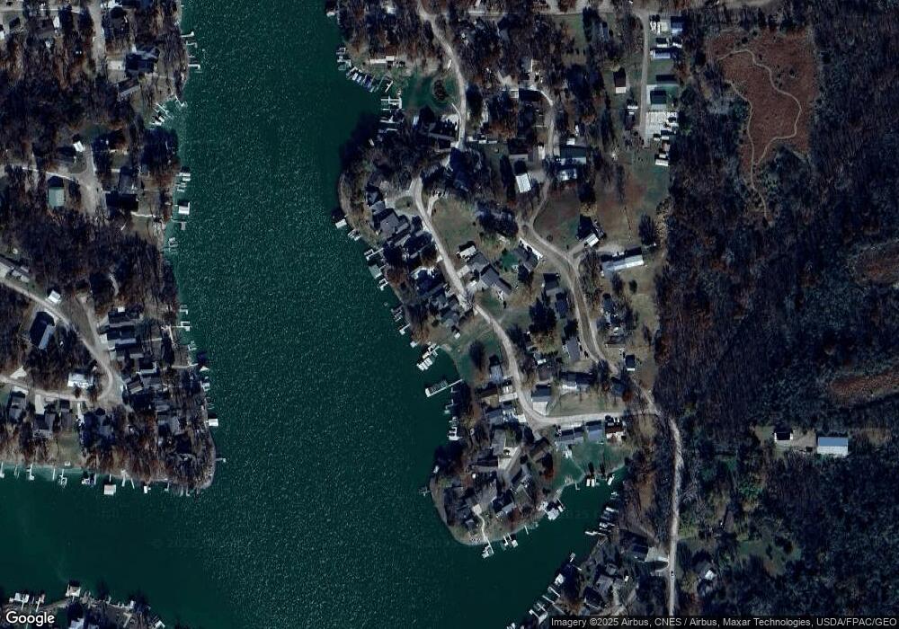
Map
Nearby Homes
- 312 Center Point Dr
- 148 Valley Rd
- 226 & 228 Center Point Dr
- 171 Valley Rd
- 109 Cedar Rd
- 146 Scenic Dr
- 104 Ivy Dr
- TBD Ivy Dr
- 169 Woodland Rd Unit 21 Lot 11
- 108 Wrenwood Rd
- 203 Woodland Rd
- 106 110 Orchard Rd
- 4854 103rd St
- 101 Canyon Rd
- 161 Hillcrest Ridge
- 147 Hillcrest Ridge
- 144 Center Point Dr
- 251 Whippoorwill Rd
- 252 Hillcrest Ridge
- 122 Horseshoe Dr
- 298 Center Point Dr
- 294 Center Point Dr
- 292 Center Point Dr
- 297 Center Point Dr
- 299 Center Point Dr
- 295 Center Point Dr
- 290 Center Point Dr
- 307 Center Point Dr
- 124 Lakeview Dr
- 288 Center Point Dr
- 309 Center Point Dr
- 314 Center Point Dr
- 311 Center Point Dr
- 120 Lakeview Dr
- 286 Center Point Dr
- 132 Lakeview Dr
- 122 Lakeview Dr
- 134 Lakeview Dr
- 281 Center Point Dr
- 140 Lakeview Dr