300 Chestnut Hill Rd Warwick, MA 01378
Warwick NeighborhoodEstimated Value: $390,000 - $404,000
3
Beds
1
Bath
1,248
Sq Ft
$318/Sq Ft
Est. Value
About This Home
This home is located at 300 Chestnut Hill Rd, Warwick, MA 01378 and is currently estimated at $396,314, approximately $317 per square foot. 300 Chestnut Hill Rd is a home located in Franklin County with nearby schools including Pioneer Valley Regional.
Ownership History
Date
Name
Owned For
Owner Type
Purchase Details
Closed on
Dec 16, 2002
Sold by
Crosby Robert B and Crosby Ruth S
Bought by
Taddeo Anthony S and Taddeo Ruth M
Current Estimated Value
Home Financials for this Owner
Home Financials are based on the most recent Mortgage that was taken out on this home.
Original Mortgage
$100,000
Outstanding Balance
$42,738
Interest Rate
6.17%
Mortgage Type
Purchase Money Mortgage
Estimated Equity
$353,576
Purchase Details
Closed on
Sep 4, 1987
Sold by
Forbes Carolyn
Bought by
Crosby Robert B
Create a Home Valuation Report for This Property
The Home Valuation Report is an in-depth analysis detailing your home's value as well as a comparison with similar homes in the area
Home Values in the Area
Average Home Value in this Area
Purchase History
| Date | Buyer | Sale Price | Title Company |
|---|---|---|---|
| Taddeo Anthony S | $159,000 | -- | |
| Crosby Robert B | $103,000 | -- |
Source: Public Records
Mortgage History
| Date | Status | Borrower | Loan Amount |
|---|---|---|---|
| Open | Crosby Robert B | $100,000 | |
| Previous Owner | Crosby Robert B | $20,000 | |
| Previous Owner | Crosby Robert B | $14,000 |
Source: Public Records
Tax History
| Year | Tax Paid | Tax Assessment Tax Assessment Total Assessment is a certain percentage of the fair market value that is determined by local assessors to be the total taxable value of land and additions on the property. | Land | Improvement |
|---|---|---|---|---|
| 2025 | $5,551 | $312,200 | $31,600 | $280,600 |
| 2024 | $5,205 | $314,500 | $31,600 | $282,900 |
| 2023 | $4,478 | $222,700 | $31,600 | $191,100 |
| 2022 | $4,623 | $219,400 | $33,700 | $185,700 |
| 2021 | $3,936 | $200,500 | $30,300 | $170,200 |
| 2020 | $4,158 | $204,100 | $30,400 | $173,700 |
| 2019 | $4,061 | $191,200 | $30,400 | $160,800 |
| 2018 | $4,138 | $191,200 | $30,400 | $160,800 |
| 2017 | $3,845 | $191,200 | $30,400 | $160,800 |
| 2016 | $3,914 | $191,200 | $30,400 | $160,800 |
| 2015 | $3,916 | $196,600 | $35,800 | $160,800 |
Source: Public Records
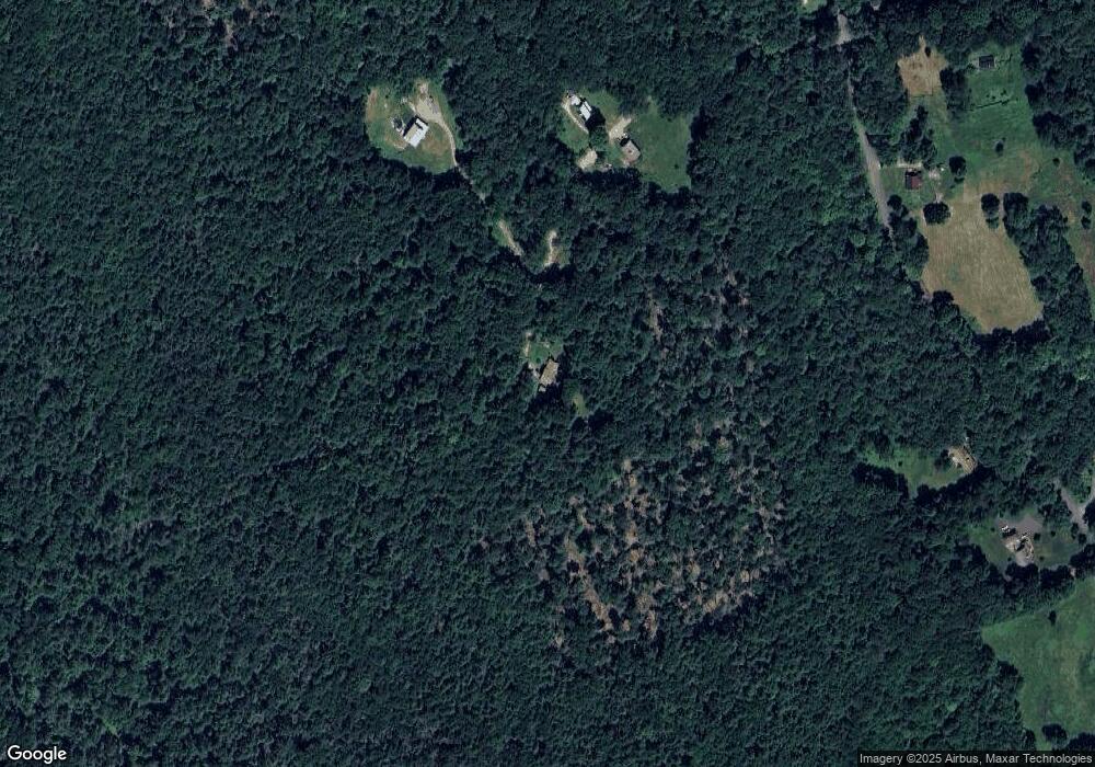
Map
Nearby Homes
- 0 Northfield Rd Unit 73441997
- Lot 14 Northfield Rd
- 0 Sears St Unit 23759828
- 0, Lot 2 Flower Hill Rd
- 0, Lot 1 Flower Hill Rd
- 900 N Main St
- 22 Old Turnpike Rd
- 10 E Prospect St
- 0 State Rd Lot 0
- 10 W Main St
- 14 Wood Way
- 56 Shelter St
- 37 Cottage St
- 166-168 W Main St
- 39 Terrace St
- 35 Ball St
- 94 Main St
- 12A Parker Ave Unit A
- 102 W Main St
- 0 Old Farley Rd
- 175 Chestnut Hill Rd
- 199 Chestnut Hill Rd
- 145 Shepardson Rd
- 100 Shepardson Rd
- 1 Shepardson Rd
- 96 Shepardson Rd
- 66 Chestnut Hill Rd
- 95 Shepardson Rd
- 171 Shepardson Rd
- 0 Shepardson Rd
- 82 Shepardson Rd
- 192 Shepardson Rd
- 63 Chestnut Hill Rd
- 175 Shepardson Rd
- 77 Shepardson Rd
- 55 Chestnut Hill Rd
- 3 Wilson Rd
- 41 W Wilson Rd
- 383 Chestnut Hill Rd
- 206 Shepardson Rd
Your Personal Tour Guide
Ask me questions while you tour the home.