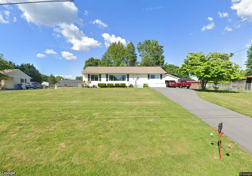
300 Circle Dr Bristol, TN 37620
Estimated Value: $223,658 - $274,000
3
Beds
2
Baths
1,472
Sq Ft
$169/Sq Ft
Est. Value
About This Home
This home is located at 300 Circle Dr, Bristol, TN 37620 and is currently estimated at $248,665, approximately $168 per square foot. 300 Circle Dr is a home located in Sullivan County with nearby schools including Avoca Elementary School, Vance Middle School, and Tennessee High School.
Ownership History
Date
Name
Owned For
Owner Type
Purchase Details
Closed on
Jun 23, 2020
Sold by
Carrier Karen M
Bought by
Carrier Karen M and Humphrey Beverly Wayne
Current Estimated Value
Purchase Details
Closed on
May 28, 2010
Sold by
Winchell Vickie L
Bought by
Carrier Karen M
Home Financials for this Owner
Home Financials are based on the most recent Mortgage that was taken out on this home.
Original Mortgage
$84,640
Outstanding Balance
$56,809
Interest Rate
5%
Estimated Equity
$191,856
Purchase Details
Closed on
Aug 17, 2007
Sold by
Umbarger Donald L
Bought by
Umbarger Vickie L
Purchase Details
Closed on
Sep 2, 1993
Create a Home Valuation Report for This Property
The Home Valuation Report is an in-depth analysis detailing your home's value as well as a comparison with similar homes in the area
Home Values in the Area
Average Home Value in this Area
Purchase History
| Date | Buyer | Sale Price | Title Company |
|---|---|---|---|
| Carrier Karen M | -- | None Available | |
| Carrier Karen M | $105,800 | -- | |
| Umbarger Vickie L | -- | -- | |
| -- | $45,000 | -- |
Source: Public Records
Mortgage History
| Date | Status | Borrower | Loan Amount |
|---|---|---|---|
| Open | -- | $84,640 |
Source: Public Records
Tax History Compared to Growth
Tax History
| Year | Tax Paid | Tax Assessment Tax Assessment Total Assessment is a certain percentage of the fair market value that is determined by local assessors to be the total taxable value of land and additions on the property. | Land | Improvement |
|---|---|---|---|---|
| 2024 | -- | $24,450 | $2,925 | $21,525 |
| 2023 | $1,074 | $24,450 | $2,925 | $21,525 |
| 2022 | $1,074 | $24,450 | $2,925 | $21,525 |
| 2021 | $1,074 | $24,450 | $2,925 | $21,525 |
| 2020 | $1,107 | $24,450 | $2,925 | $21,525 |
| 2019 | $1,107 | $23,400 | $2,925 | $20,475 |
| 2018 | $1,103 | $23,400 | $2,925 | $20,475 |
| 2017 | $1,103 | $23,400 | $2,925 | $20,475 |
| 2016 | $1,123 | $23,275 | $2,925 | $20,350 |
| 2014 | $1,059 | $23,258 | $0 | $0 |
Source: Public Records
Map
Nearby Homes
- 521 Hickory Rd
- 212 Hemlock Rd
- 210 Hemlock Rd
- 301 El Paso Dr
- 113 Hemlock Rd
- 403 Martindale Rd
- 305 Sunnybrook Dr
- 209 Santa fe Dr
- 302 Martindale Rd
- 2118 King College Rd
- 1026 Deer Harbour Rd
- 100 Martindale Rd
- 112 Holston View Dr
- 1208 Bluff City Hwy
- 204 Johnston Ave
- 101 Timberlane Rd
- 101 Tween Hills Rd
- 108 Quail Run
- 307 Tween Hills Rd
- 316 Timberlane Rd
- 302 Circle Dr
- 104 Fairacres Dr
- 101 Blue Ridge Dr
- 103 Blue Ridge Dr
- 102 Fairacres Dr
- 301 Circle Dr
- 303 Circle Dr
- 200 Fairacres Dr
- 304 Circle Dr
- 105 Blue Ridge Dr
- 305 Circle Dr
- 206 Fairacres Dr
- 100 Blue Ridge Dr
- 102 Blue Ridge Dr
- 208 Fairacres Dr
- 306 Circle Dr
- 204 Fairacres Dr
- 107 Blue Ridge Dr
- 104 Blue Ridge Dr
- 307 Circle Dr