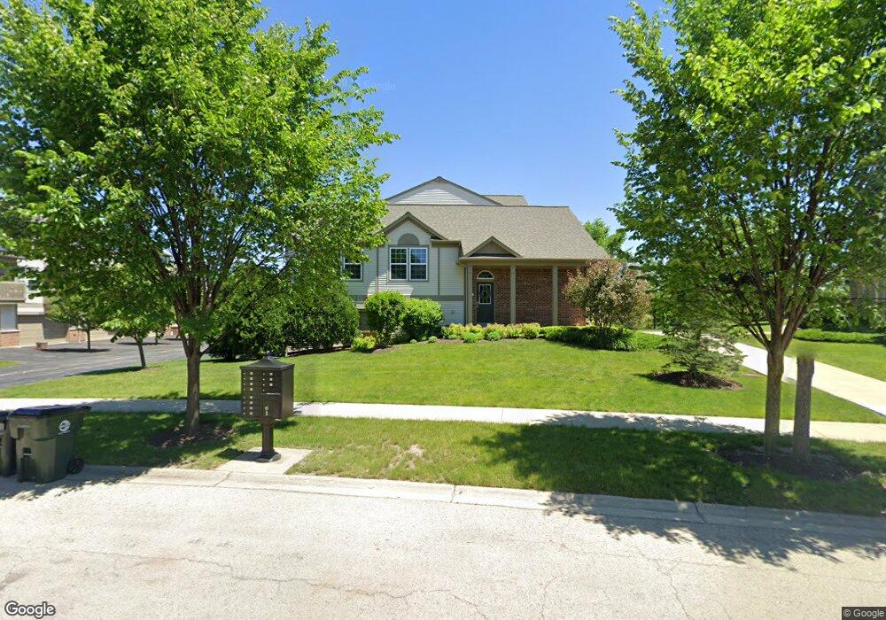
300 Devoe Dr Unit 225 Oswego, IL 60543
North Oswego NeighborhoodEstimated Value: $301,000 - $342,000
2
Beds
3
Baths
1,704
Sq Ft
$186/Sq Ft
Est. Value
About This Home
This home is located at 300 Devoe Dr Unit 225, Oswego, IL 60543 and is currently estimated at $317,138, approximately $186 per square foot. 300 Devoe Dr Unit 225 is a home located in Kendall County with nearby schools including Southbury Elementary School, Murphy Junior High School, and Oswego East High School.
Ownership History
Date
Name
Owned For
Owner Type
Purchase Details
Closed on
Apr 5, 2018
Sold by
Mancini Peggie Lynn
Bought by
Kelly Damien
Current Estimated Value
Purchase Details
Closed on
Sep 26, 2014
Sold by
Pulte Home Corporation
Bought by
Mancini Peggie Lynn
Purchase Details
Closed on
Sep 1, 2014
Bought by
Mancini Peggie Lynn
Create a Home Valuation Report for This Property
The Home Valuation Report is an in-depth analysis detailing your home's value as well as a comparison with similar homes in the area
Home Values in the Area
Average Home Value in this Area
Purchase History
| Date | Buyer | Sale Price | Title Company |
|---|---|---|---|
| Kelly Damien | $210,000 | Landtrust National Title | |
| Mancini Peggie Lynn | $169,000 | Pgp Title | |
| Mancini Peggie Lynn | $168,800 | -- |
Source: Public Records
Mortgage History
| Date | Status | Borrower | Loan Amount |
|---|---|---|---|
| Closed | Mancini Peggie Lynn | -- |
Source: Public Records
Tax History
| Year | Tax Paid | Tax Assessment Tax Assessment Total Assessment is a certain percentage of the fair market value that is determined by local assessors to be the total taxable value of land and additions on the property. | Land | Improvement |
|---|---|---|---|---|
| 2024 | $6,602 | $88,034 | $13,058 | $74,976 |
| 2023 | $5,854 | $77,906 | $11,556 | $66,350 |
| 2022 | $5,854 | $70,823 | $10,505 | $60,318 |
| 2021 | $5,872 | $68,760 | $10,199 | $58,561 |
| 2020 | $5,803 | $67,412 | $9,999 | $57,413 |
| 2019 | $6,065 | $69,188 | $9,999 | $59,189 |
| 2018 | $5,453 | $62,334 | $10,497 | $51,837 |
| 2017 | $5,274 | $57,451 | $9,675 | $47,776 |
| 2016 | $4,909 | $53,195 | $8,958 | $44,237 |
| 2015 | $4,718 | $49,254 | $8,294 | $40,960 |
| 2014 | -- | $0 | $0 | $0 |
Source: Public Records
Map
Nearby Homes
- 240 Devoe Dr
- 608 Hawley Dr Unit 4342
- 464 Valentine Way
- 460 Valentine Way
- 3017 Lundquist Dr
- 2322 Pagosa Springs Dr
- 605 Murdock Place
- 241 Cooney Way
- 353 Danforth Dr
- 234 Cooney Way
- 393 Danforth Dr
- 391 Danforth Dr
- 602 Murdock Place
- 347 Danforth Dr
- 339 Danforth Dr
- 2263 Shiloh Dr Unit 2
- 2811 Imperial Valley Trail
- 1893 Indian Hill Ln Unit 4053
- 1851 Indian Hill Ln Unit 4083
- 115 Henderson St
- 300 Devoe Dr
- 302 Devoe Dr
- 304 Devoe Dr Unit 223
- 304 Devoe Dr
- 306 Devoe Dr
- 290 Devoe Dr
- 290 Devoe Dr Unit 205
- 308 Devoe Dr Unit 205
- 308 Devoe Dr
- 310 Devoe Dr
- 310 Devoe Dr Unit 231
- 312 Devoe Dr
- 314 Devoe Dr Unit 233
- 314 Devoe Dr
- 292 Devoe Dr
- 294 Devoe Dr Unit 213
- 294 Devoe Dr
- 316 Devoe Dr
- 318 Devoe Dr
- 296 Devoe Dr
Your Personal Tour Guide
Ask me questions while you tour the home.