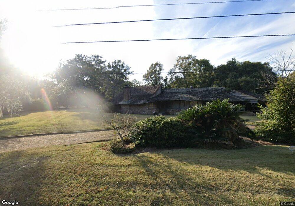
300 Durham Dr Mobile, AL 36606
Midtown Mobile NeighborhoodEstimated Value: $616,671 - $852,000
--
Bed
7
Baths
4,731
Sq Ft
$152/Sq Ft
Est. Value
About This Home
This home is located at 300 Durham Dr, Mobile, AL 36606 and is currently estimated at $718,668, approximately $151 per square foot. 300 Durham Dr is a home located in Mobile County with nearby schools including Leinkauf Elementary School, Williamson High School, and Little Flower Catholic School.
Ownership History
Date
Name
Owned For
Owner Type
Purchase Details
Closed on
Nov 14, 2008
Sold by
Tapia Augusta N and Norden Martin A
Bought by
Hines William Christian and Hines Valerie Gertrude Wilson
Current Estimated Value
Home Financials for this Owner
Home Financials are based on the most recent Mortgage that was taken out on this home.
Original Mortgage
$417,000
Outstanding Balance
$271,146
Interest Rate
5.89%
Mortgage Type
Purchase Money Mortgage
Estimated Equity
$447,522
Create a Home Valuation Report for This Property
The Home Valuation Report is an in-depth analysis detailing your home's value as well as a comparison with similar homes in the area
Home Values in the Area
Average Home Value in this Area
Purchase History
| Date | Buyer | Sale Price | Title Company |
|---|---|---|---|
| Hines William Christian | $820,000 | Gtc |
Source: Public Records
Mortgage History
| Date | Status | Borrower | Loan Amount |
|---|---|---|---|
| Open | Hines William Christian | $417,000 |
Source: Public Records
Tax History Compared to Growth
Tax History
| Year | Tax Paid | Tax Assessment Tax Assessment Total Assessment is a certain percentage of the fair market value that is determined by local assessors to be the total taxable value of land and additions on the property. | Land | Improvement |
|---|---|---|---|---|
| 2024 | $6,321 | $49,320 | $12,000 | $37,320 |
| 2023 | $6,274 | $46,160 | $12,000 | $34,160 |
| 2022 | $5,298 | $41,720 | $10,600 | $31,120 |
| 2021 | $5,298 | $41,720 | $10,600 | $31,120 |
| 2020 | $5,298 | $83,440 | $21,200 | $62,240 |
| 2019 | $5,229 | $82,340 | $22,260 | $60,080 |
| 2018 | $5,229 | $82,340 | $0 | $0 |
| 2017 | $5,229 | $82,340 | $0 | $0 |
| 2016 | $5,328 | $83,900 | $0 | $0 |
| 2013 | $5,547 | $85,660 | $0 | $0 |
Source: Public Records
Map
Nearby Homes
- 2553 S Durham Dr
- 2507 Richard Ave
- 169 Stephens St
- 216 Pinehill Dr
- 255 Pinehill Dr
- 255 Berkley Ct
- 208 Pinehill Dr
- 2453 Richard Ave
- 2456 Richard Ave
- 2659 Foreman Cir
- 254 Berkley Ct
- 2663 Foreman Cir
- 206 Morgan Ave
- 460 Pinehill Dr
- 167 E Collins St
- 459 Pinehill Dr
- 556 Seminole St
- 155 E Collins St
- 616 Morgan Ave
- 2667 Emogene St
- 300 E Durham Dr
- 2550 N Delwood Dr
- 301 E Durham Dr
- 5556 N Delwood Dr
- 281 Walton Ave
- 281 Walton Ave
- 351 E Durham Dr
- 260 W Mount Island Dr
- 2552 N Delwood Dr
- 350 E Durham Dr
- 280 Walton Ave
- 300 E Delwood Dr
- 302 E Delwood Dr
- 2601 Walton Ave
- 258 W Mount Island Dr
- 2603 Walton Ave
- 261 W Mount Island Dr
- 2553 N Delwood Dr
- 2605 Walton Ave
- 2554 N Delwood Dr